Mount Langley &
The Redwoods
Mount Langley &
The Redwoods
California
September 2-4, 2026
Mount Langley is a 14,032 foot mountain in California’s Sierra Nevada Range, right down the road from Mount Whitney and Death Valley.
It is the southernmost 14er in the lower forty-eight. I made the 5.5 hour drive up from San Diego on Tuesday afternoon and reached the trailhead through the town of Lone Pine. 

From Lone Pine the windy mountain road quickly gains elevation, but it’s paved the entire way up to the Cottonwood Lakes Trailhead. It’s a busy area but there is plenty of parking and it requires no upfront reservations. Bear security here is pretty tight and you want to take all your food and scented items out of your car and put them in a bear box. There are plenty of large boxes everywhere around the parking lot and I guess these particular black bears have even ripped into locked cars to pillage food.
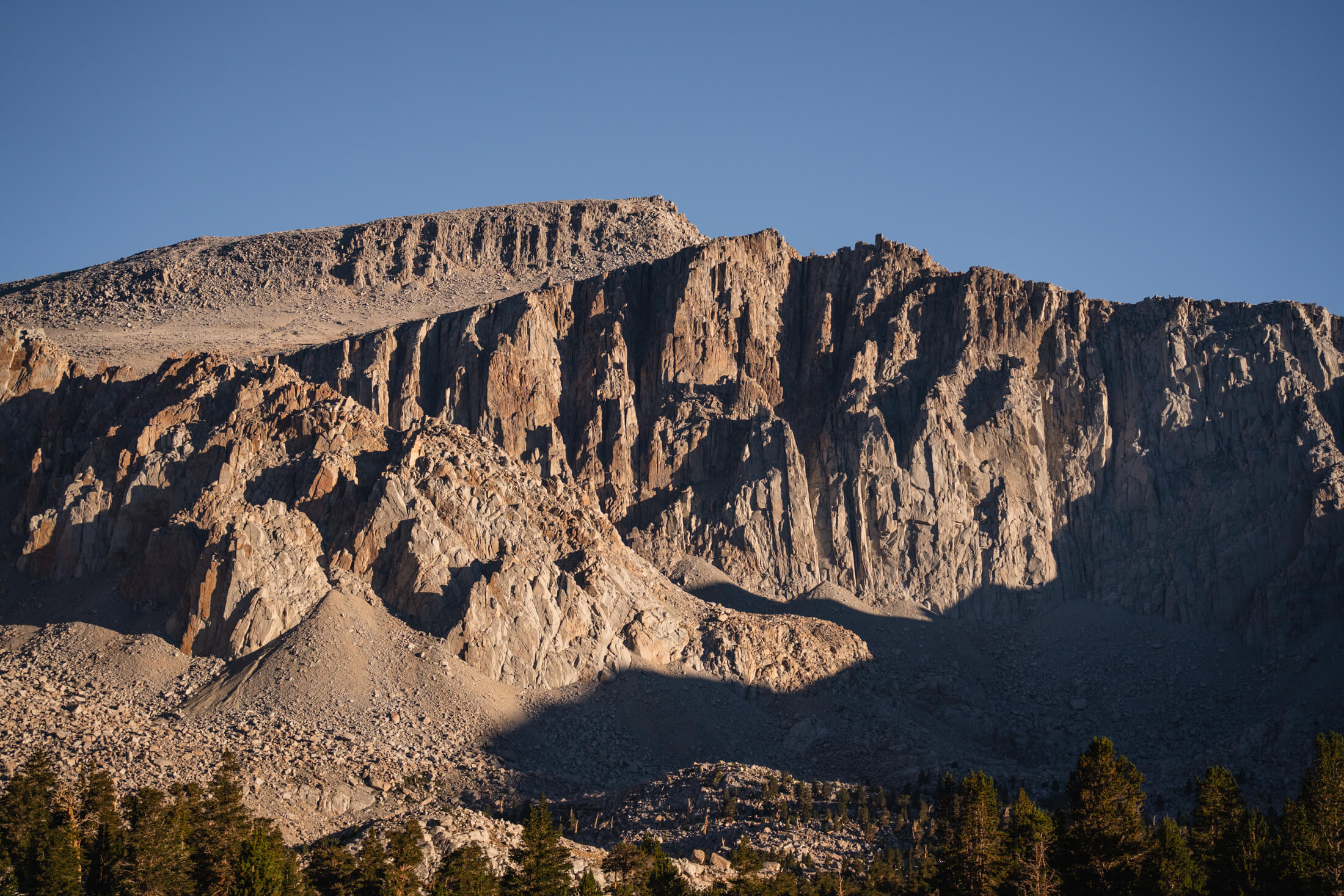
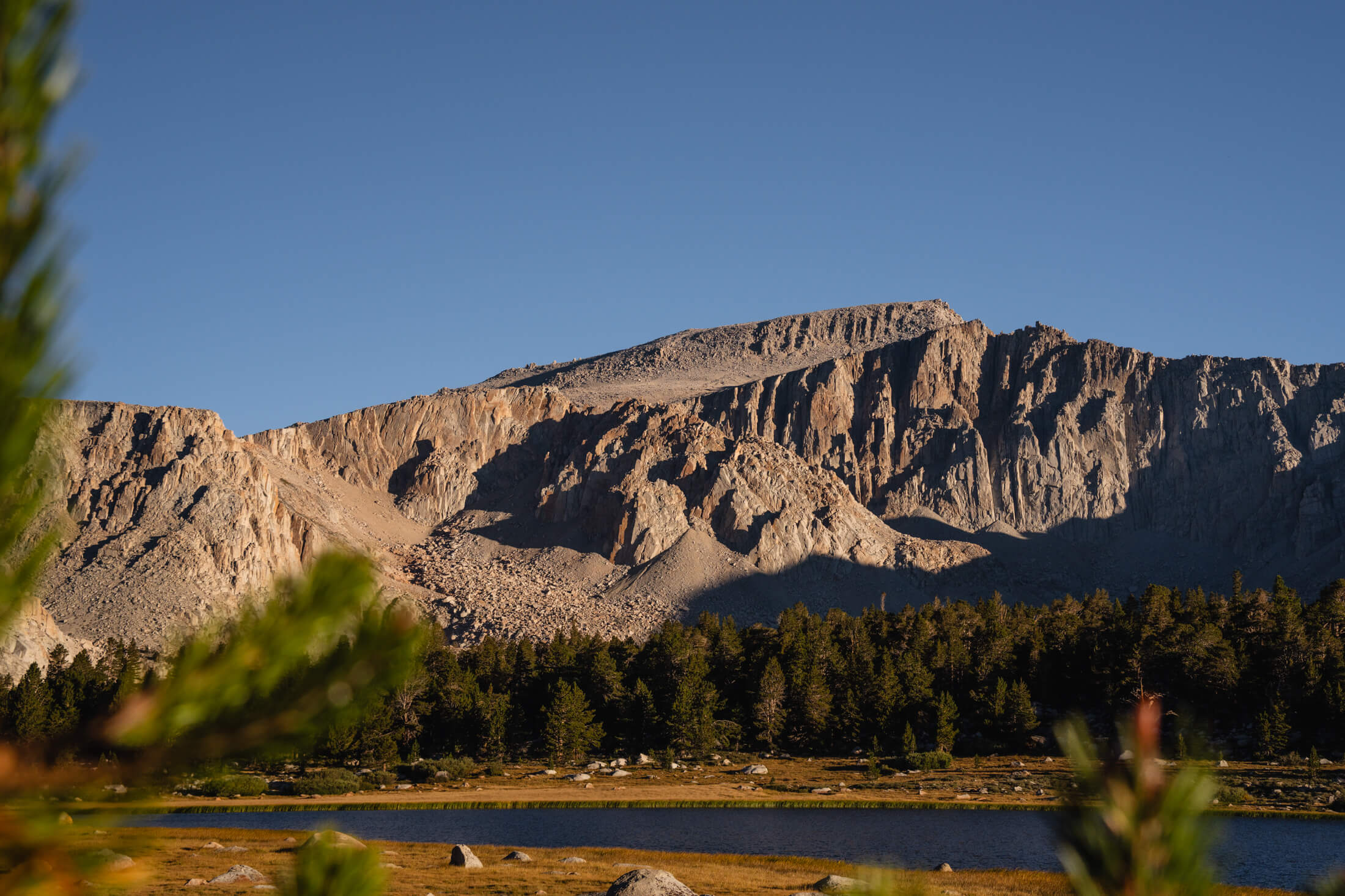
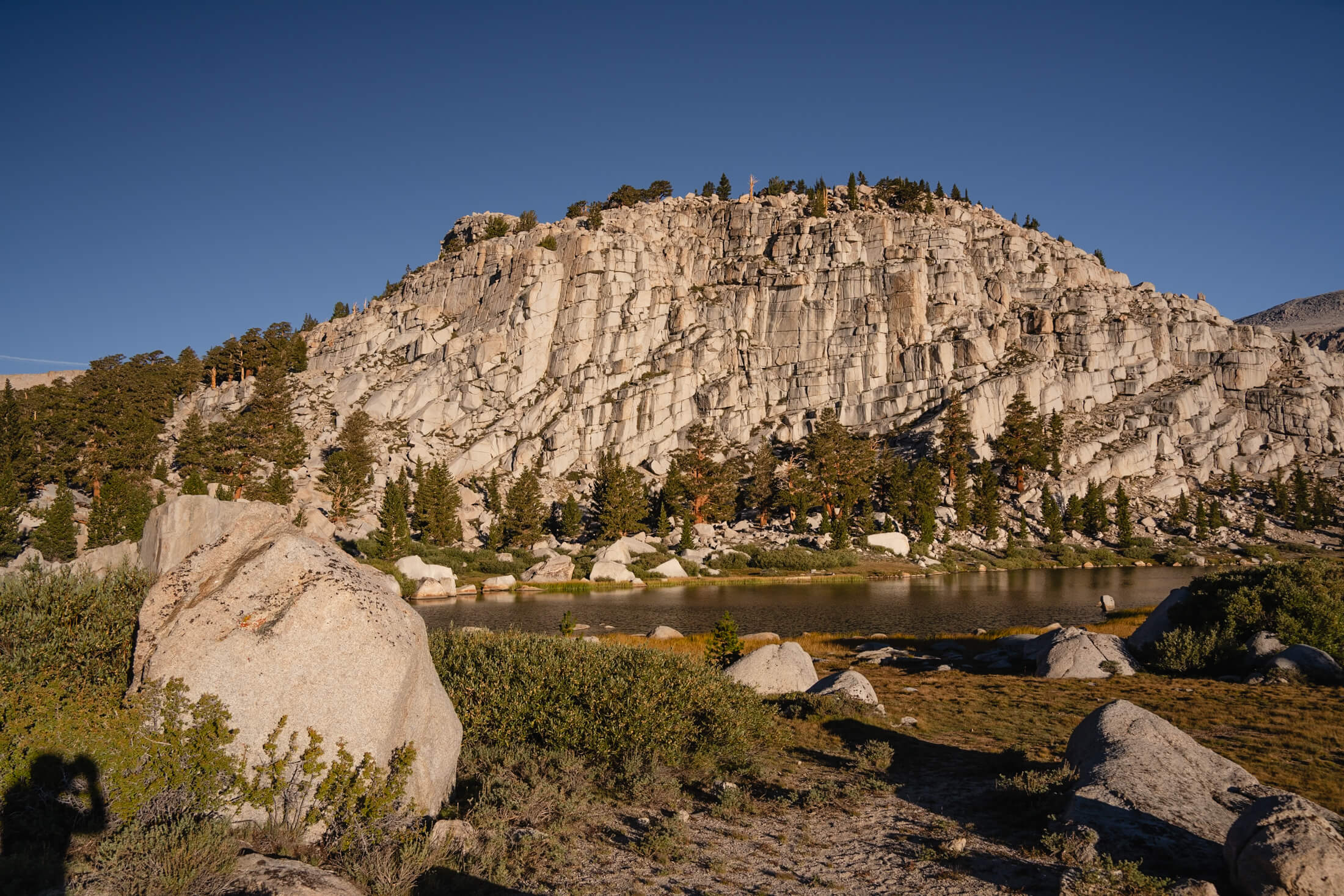
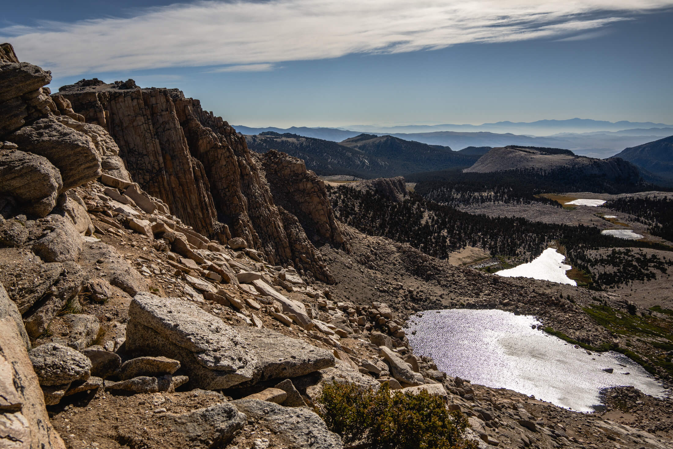
Rock formations above Cottonwood Lakes
It was a little chilly during the night and I woke up at 4am to some high winds outside of my car.
I slept another hour before hitting the trail since the winds were supposed to quiet down a bit later in the day. The forecast had sun all day so hopefully I could get the timing right where I would reach the New Army Pass ridge at 12,200 feet as it heated up a bit.

The trail is a long one, AllTrails puts Cottonwood Lakes via Old Army Pass Trail at just under 5,000 feet of elevation gain and 23 miles round trip. The Cottonwood Lakes Trailhead is just over 10,000 feet (which sleeping there for a bit helped the acclimatization for sure). While the trail is long, it’s rated a class one hike and the trail is beautifully maintained so there isn’t much terrain or scrambling to worry about zapping energy. The first 6 miles or so are a beautifully maintained, soft trail through the woods that leads you up to High and Long Lakes where a number of campsites were set up.
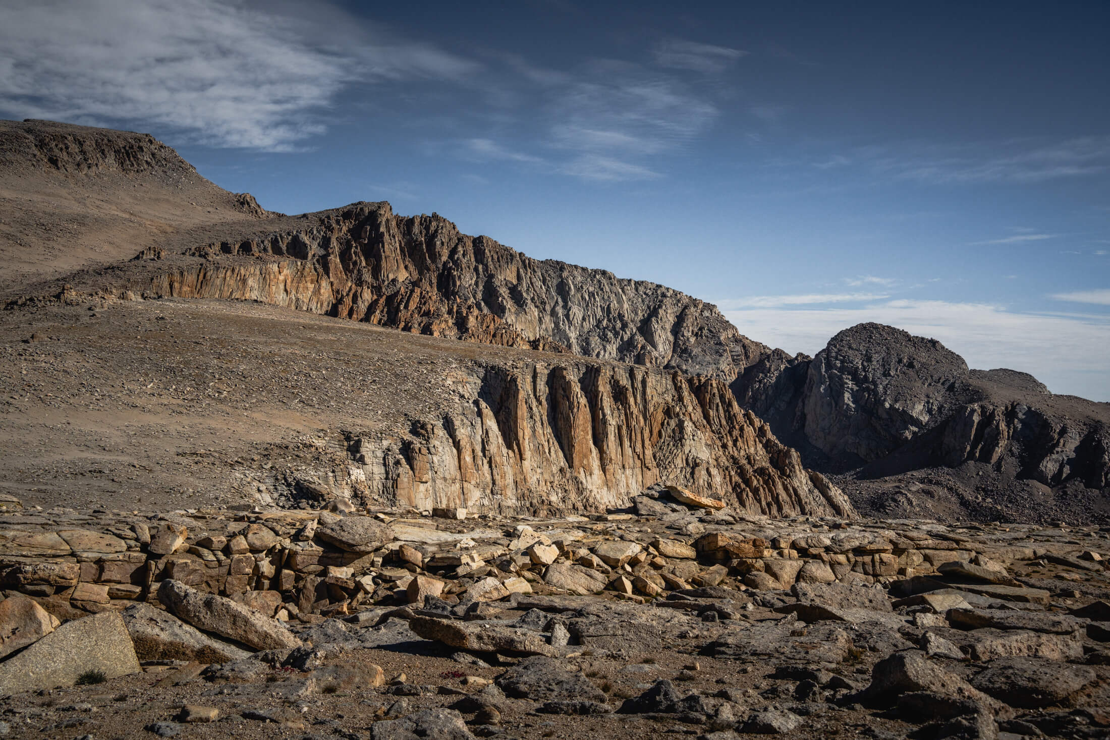
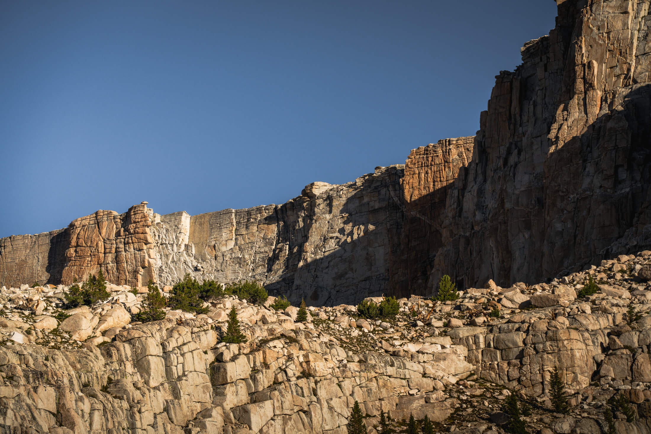
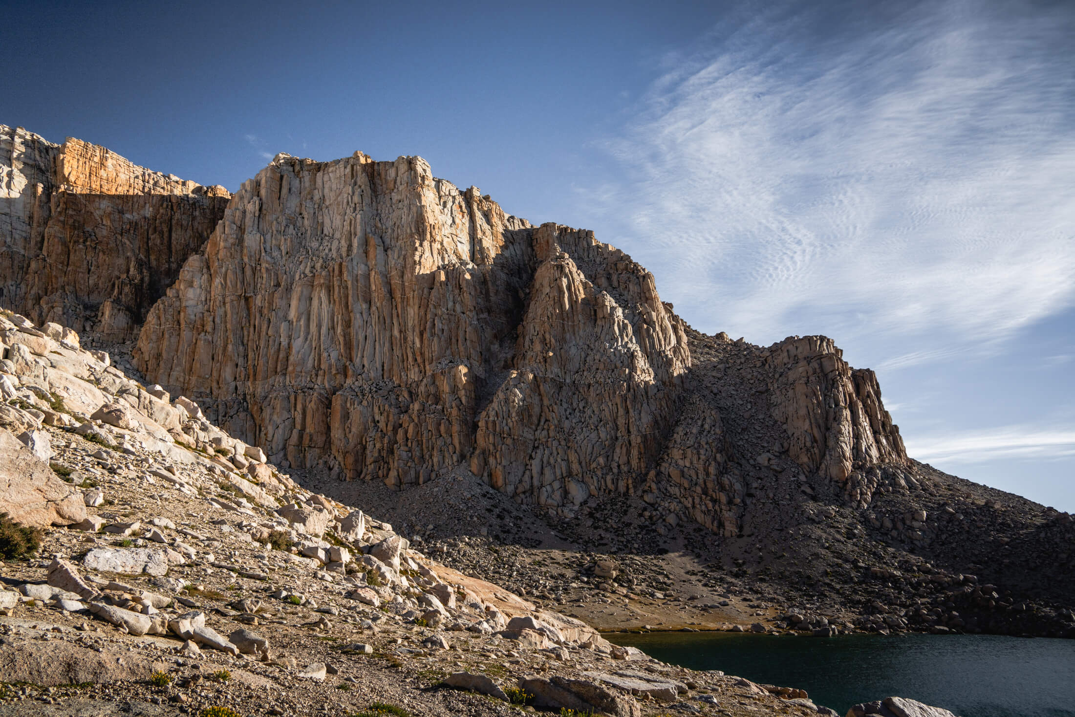
Rock formations as you ascend up the switchbacks above Cottonwood Lakes
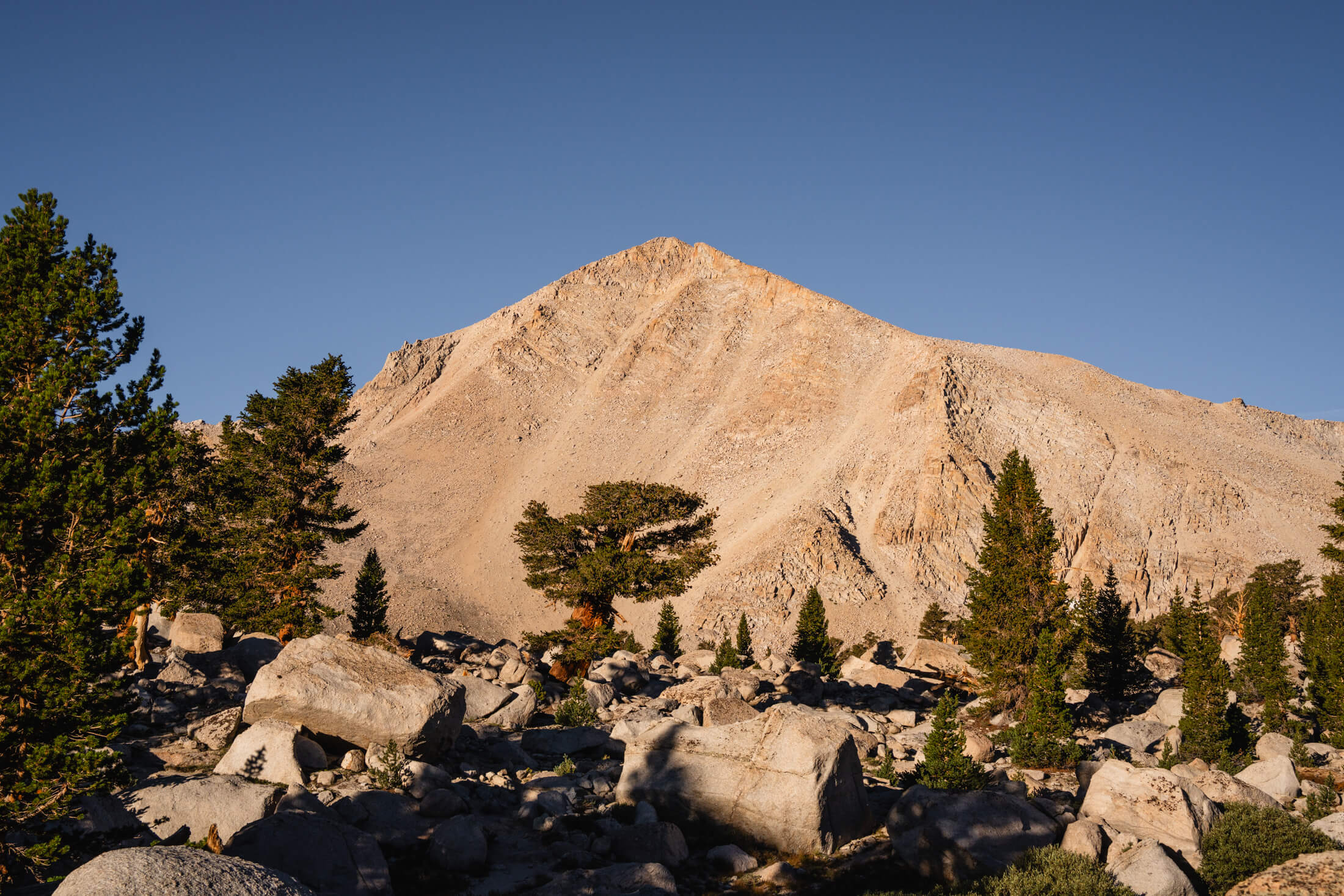
Rock formations surrounding the Cottonwood Lakes area (images 1 & 2), Cirque Peak (image 3), the rock wall behind High Lake (image 4), looking down at High Lake from near the top of the switchbacks (image 5)
Here you begin the steeper part of the day which is a series of switchbacks up to New Army Pass. It was pretty windy even at 11,500 feet and I was a little concerned that it might get worse as I ascended. I opted to keep moving and as you reach the top of New Army Pass you get your first view of Mount Langley’s long, sloping summit. 

I didn’t know until after the fact, but you briefly step over into Sequoia National Park during this park of the hike before reaching the final ascent up to the summit. The PCT trail also runs just west of the trail up to Mount Langley. 
You’re pretty exposed to the wind as you dip down a couple hundred feet for the last few miles of the hike to the summit.
It was forecasted at 20 miles an hour with a wind chill in the mid twenties but I would bet the wind speed was a bit higher than that with some pretty strong gusts. I ended up putting on my sweat pants on under my softshells.
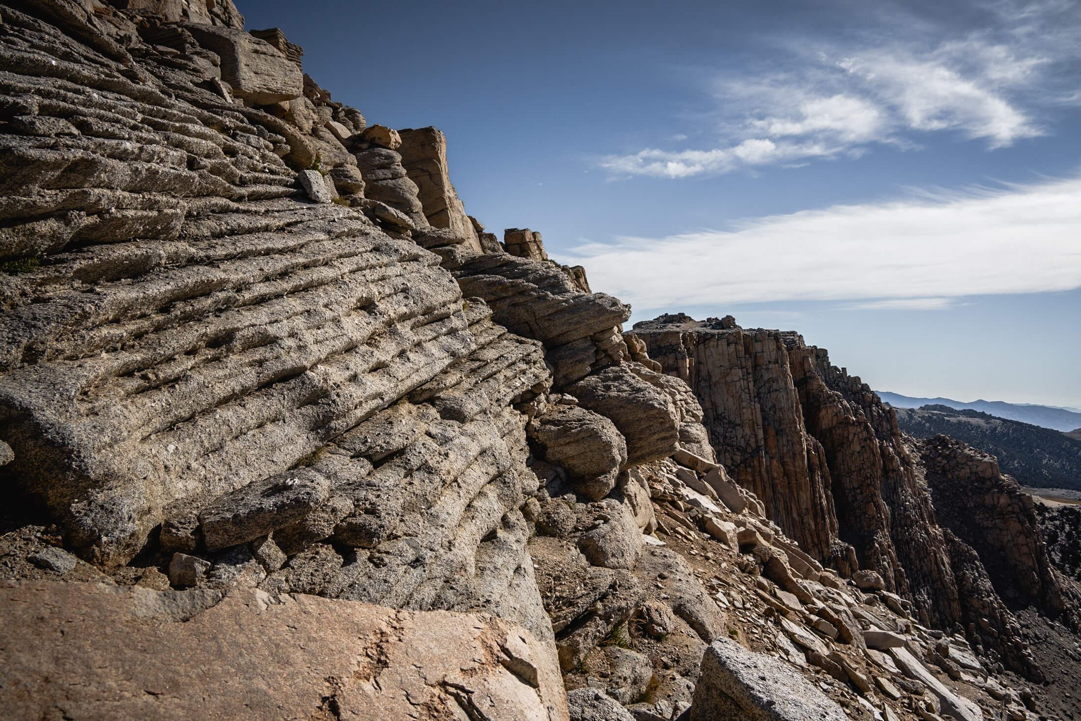
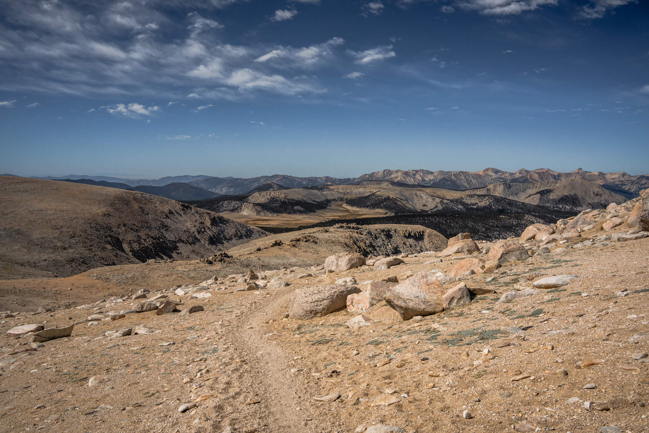
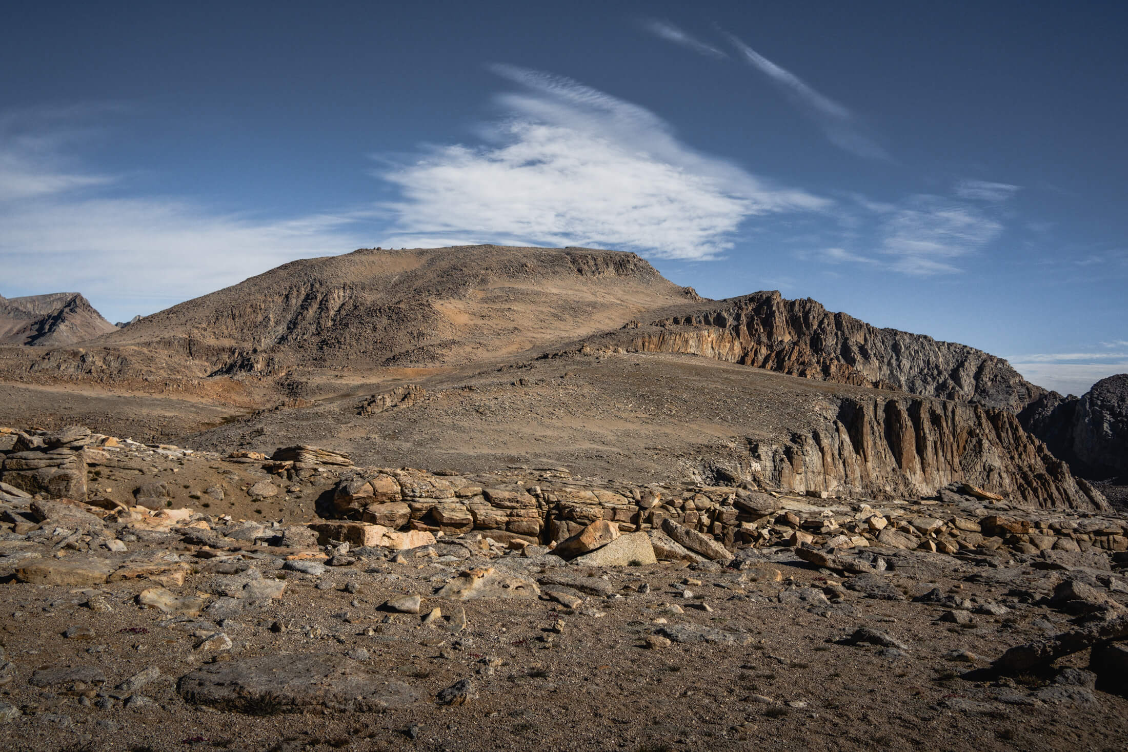
The long, flat plateau after ascending over New Army Pass (image 1), the first look at the summit of Mount Langley as you briefly step into Sequoia National Park (image 2)
The last 500 feet or so is the only part that may have some light scrambling depending on your route.
The trail is super mellow and very well maintained and the cairns marking the way look like sculptures and are super easy to spot.

The very top is pretty gradual as you walk across a long, sloping summit to the very highest point. I quickly ate my sandwich in the wind, took in the views, and started making my way back down. 

It was about an 11 hour day to cover 23 miles and 5,000 feet of gain. There’s a little bit of up and down on the way back down. I grabbed everything out of the bear box (thankfully no issues with any of the black bears) and started driving up towards Mammoth Lakes around 5pm. While it was a massive day mileage wise, with the easy terrain it honestly felt a bit less draining than some of the recent Colorado trails I had been on.
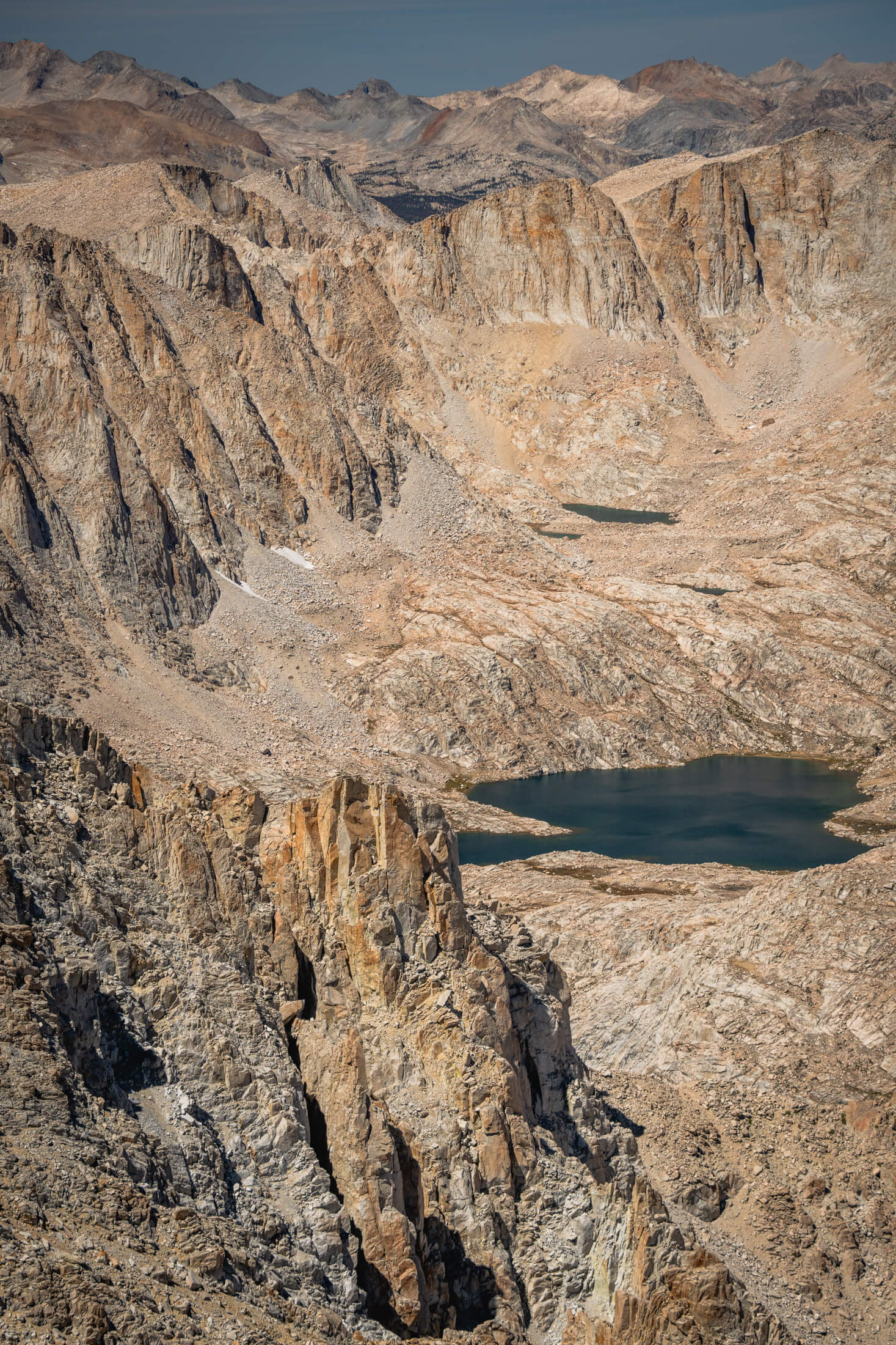
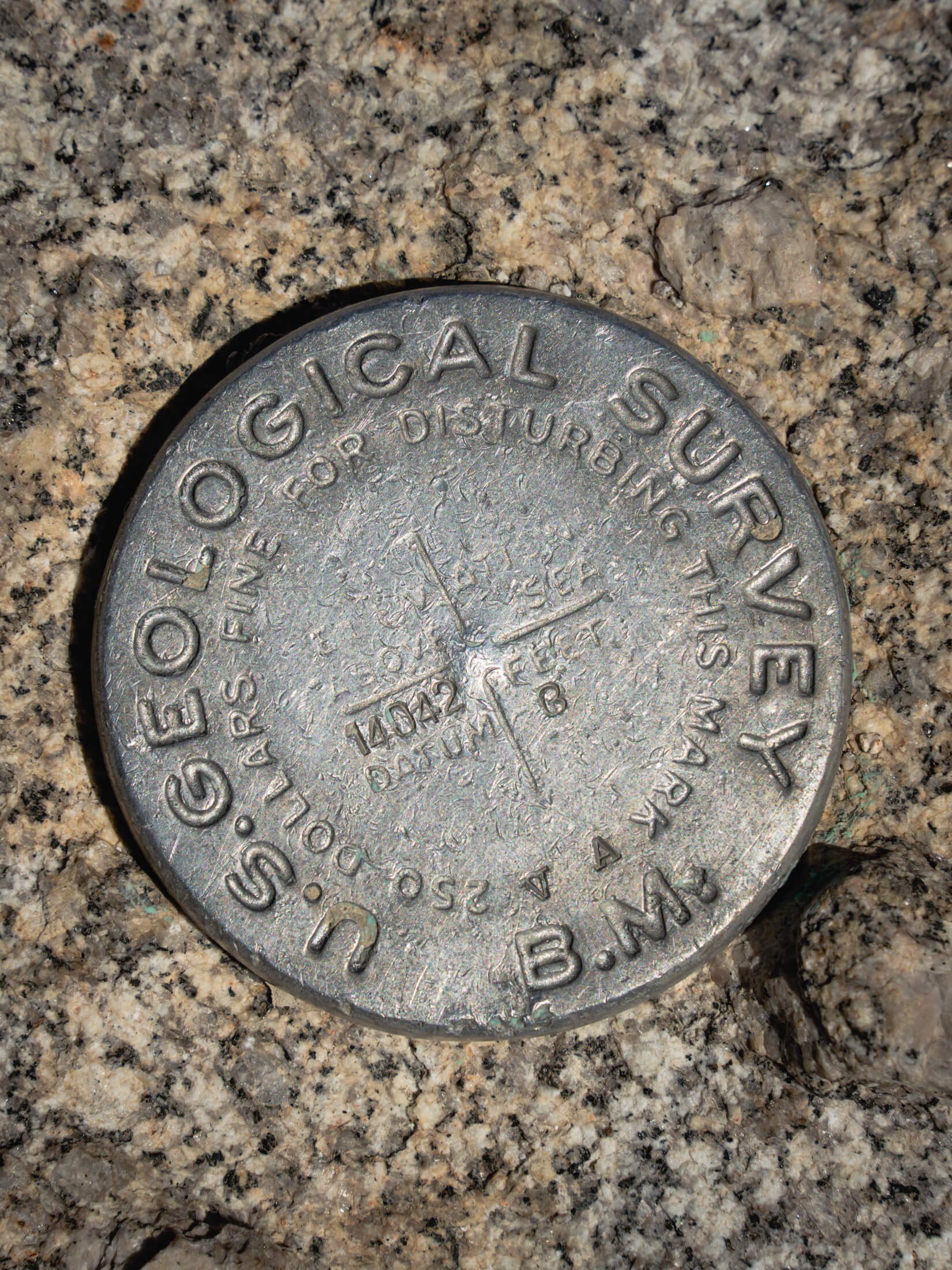
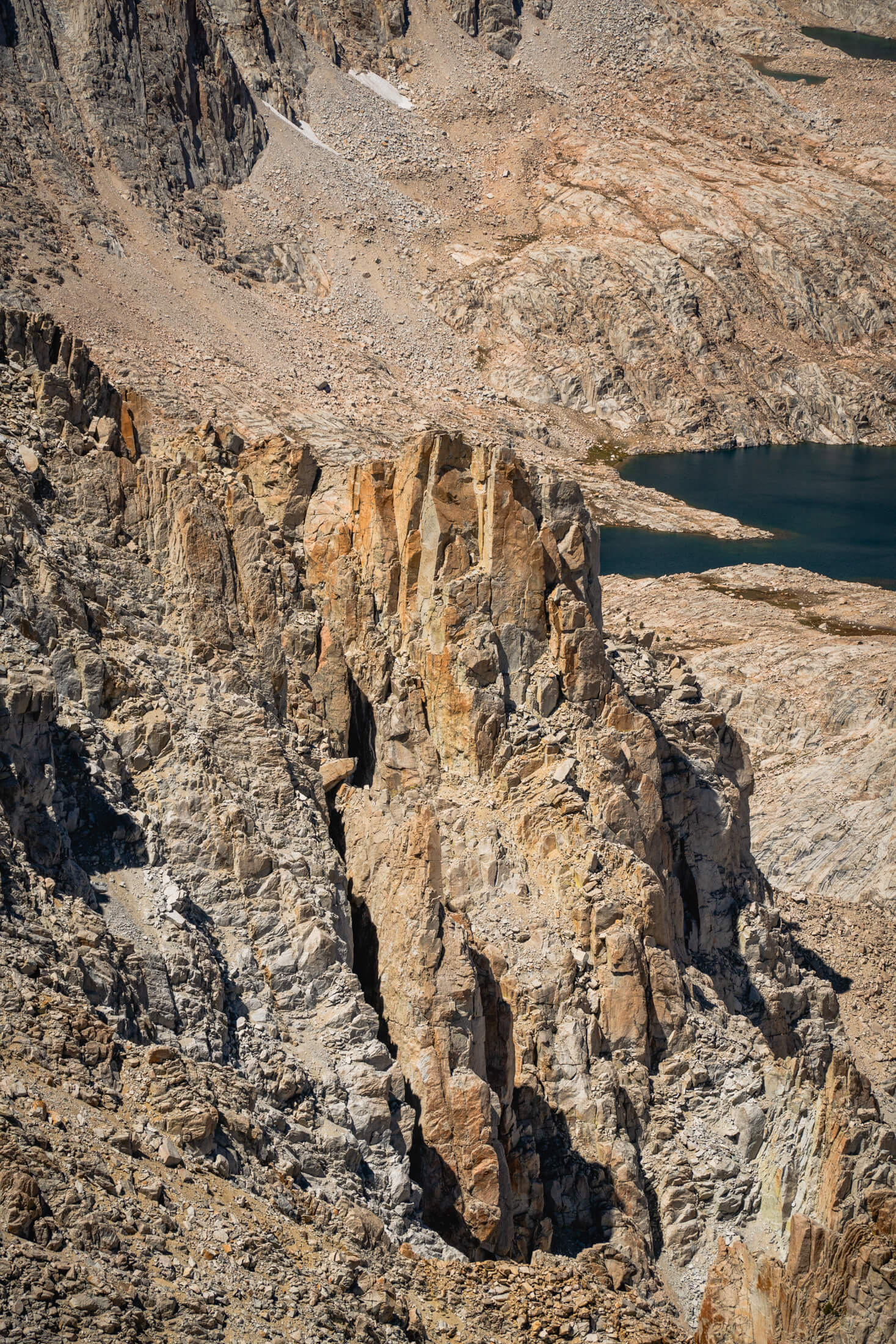
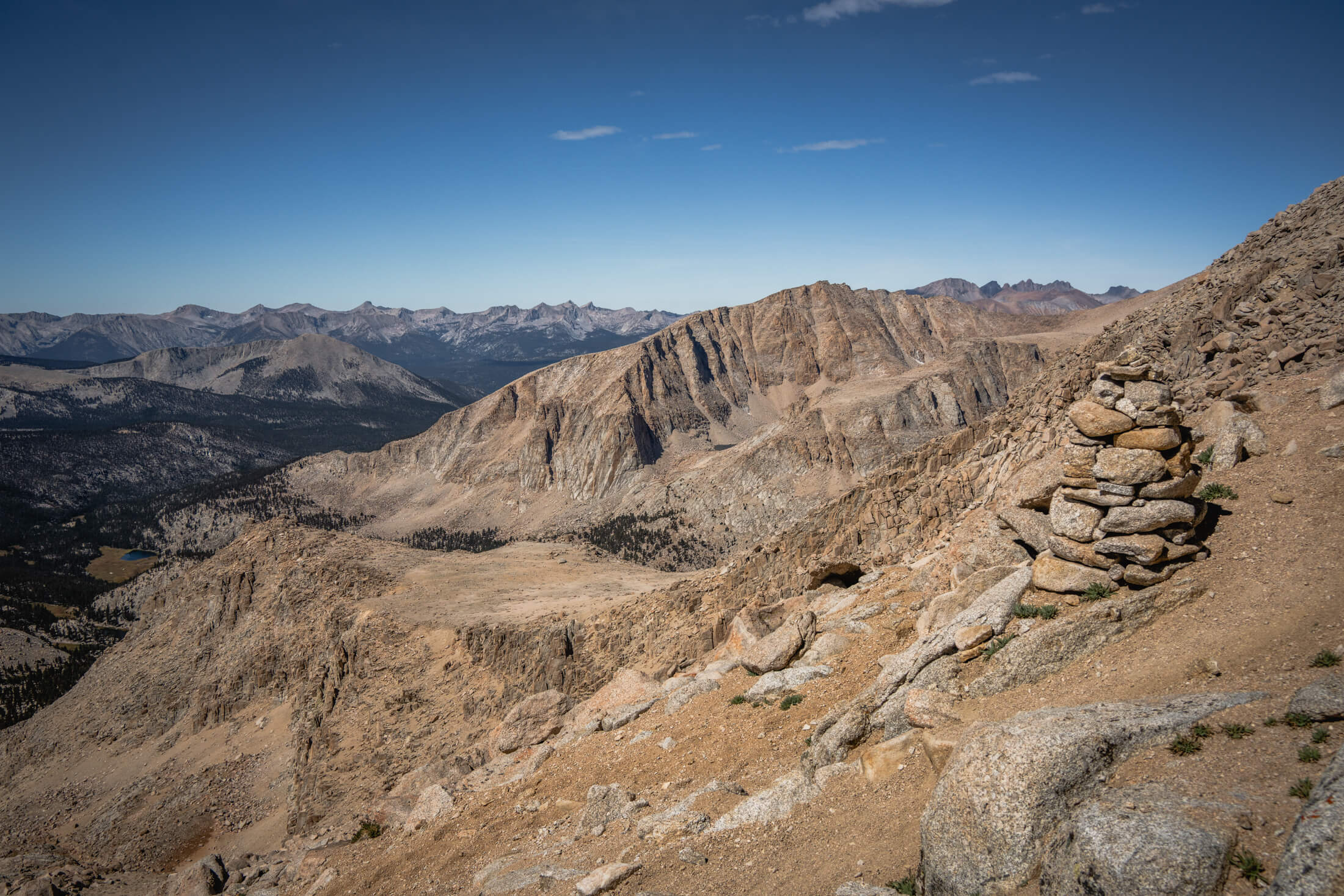
The summit marker (image 1), a cool rock pillar seen from the summit of Langley (image 2)
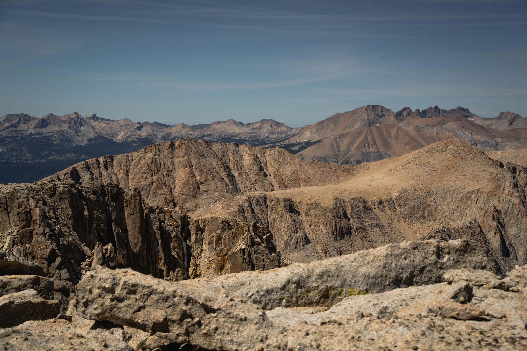
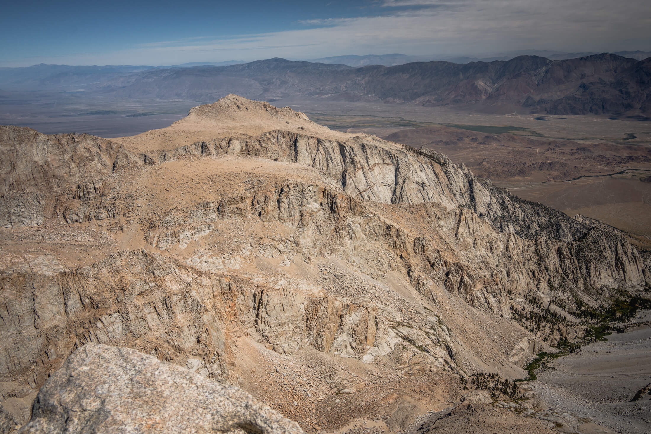
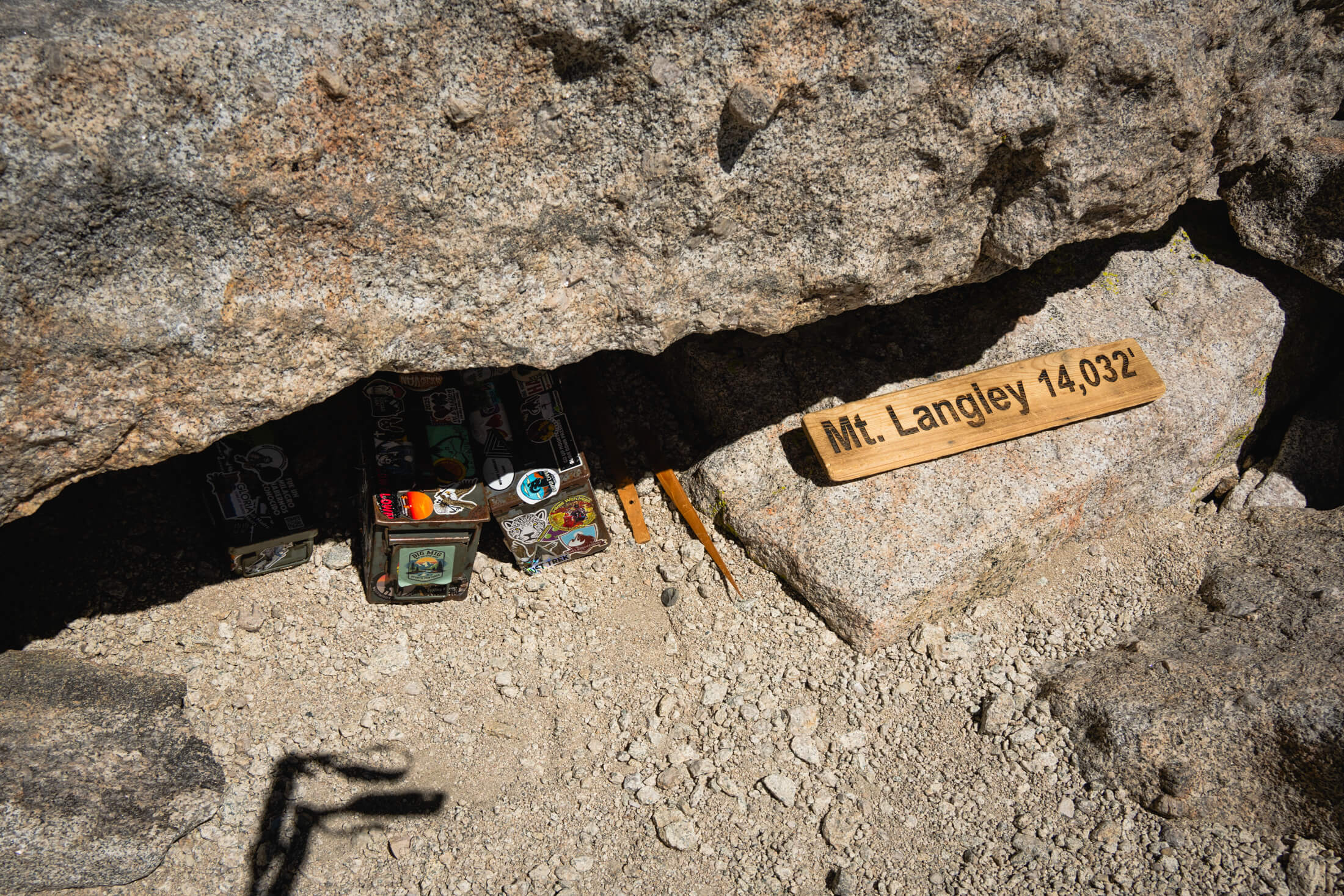
Summit views (images 1 & 2), the summit marker and register box (image 3), a view from the switchbacks just below the summit (image 4)
I met Matt and Ashley on Friday, September 4 at Redwoods National and State Parks, about an eleven hour drive from Lone Pine.
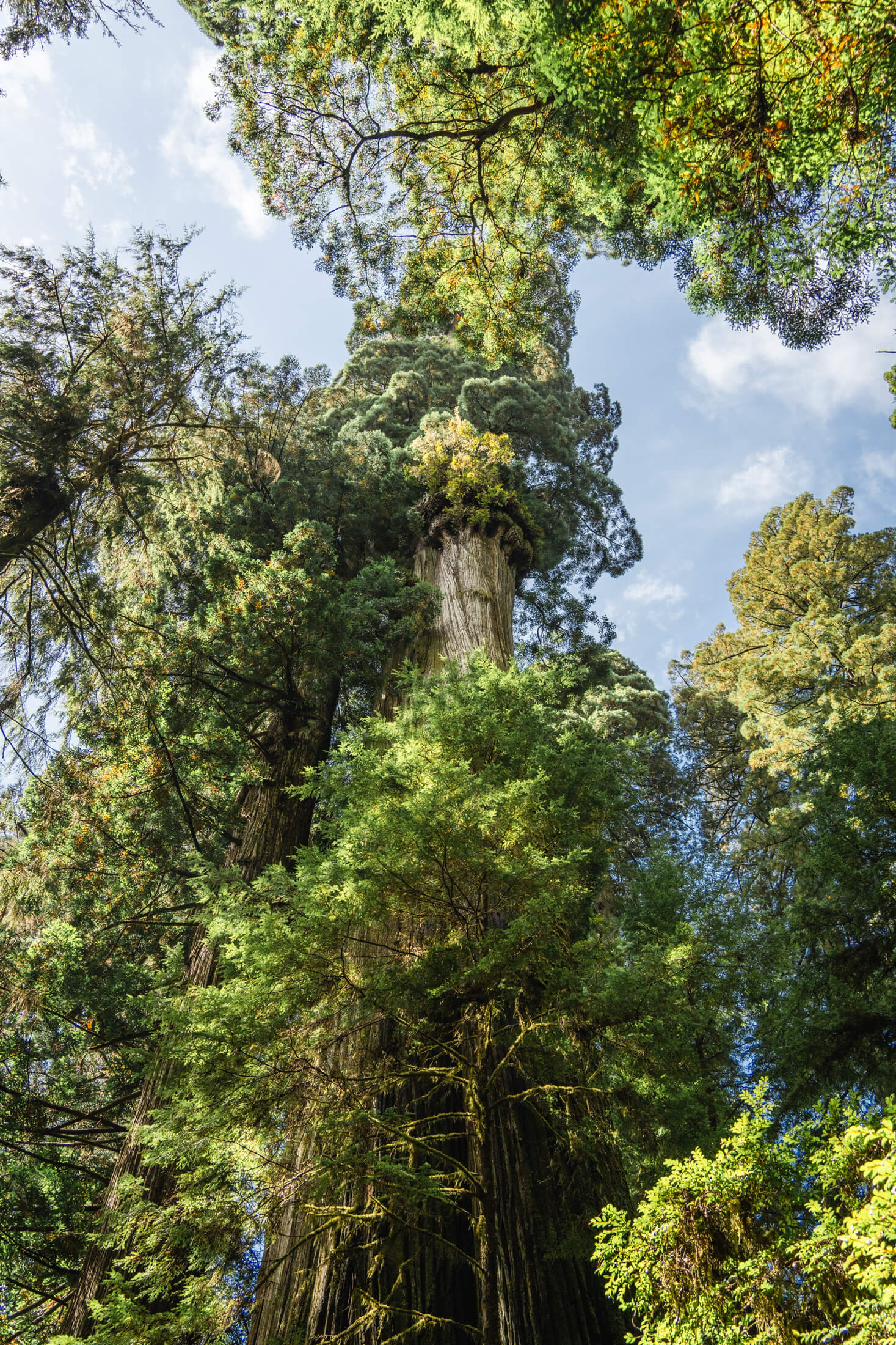
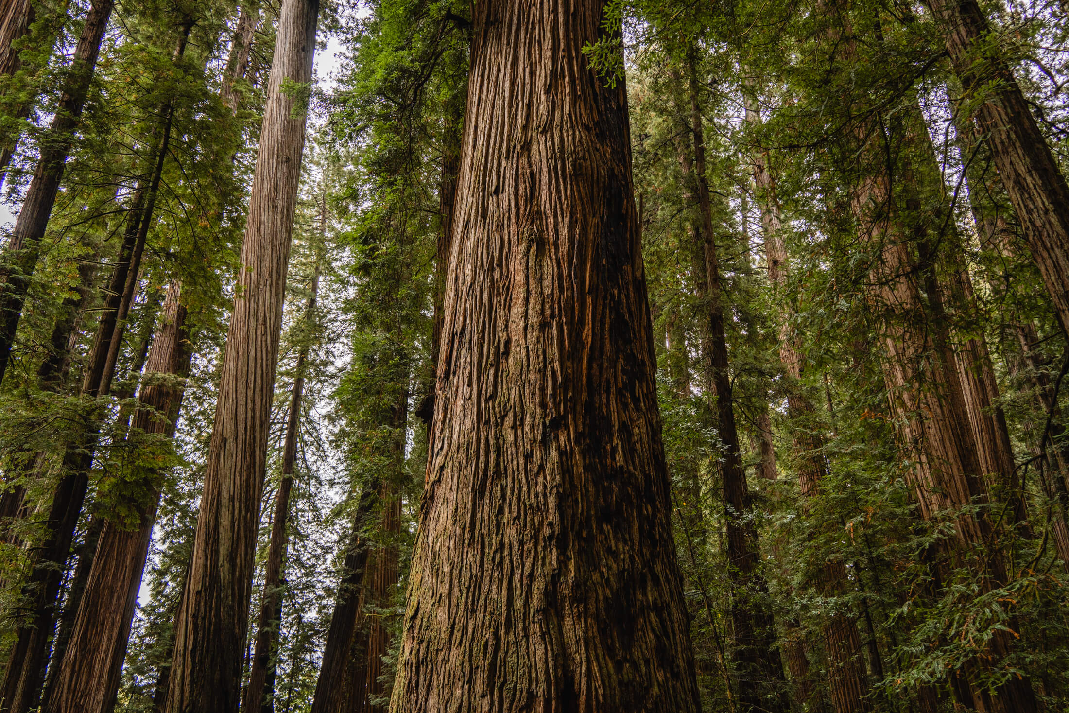
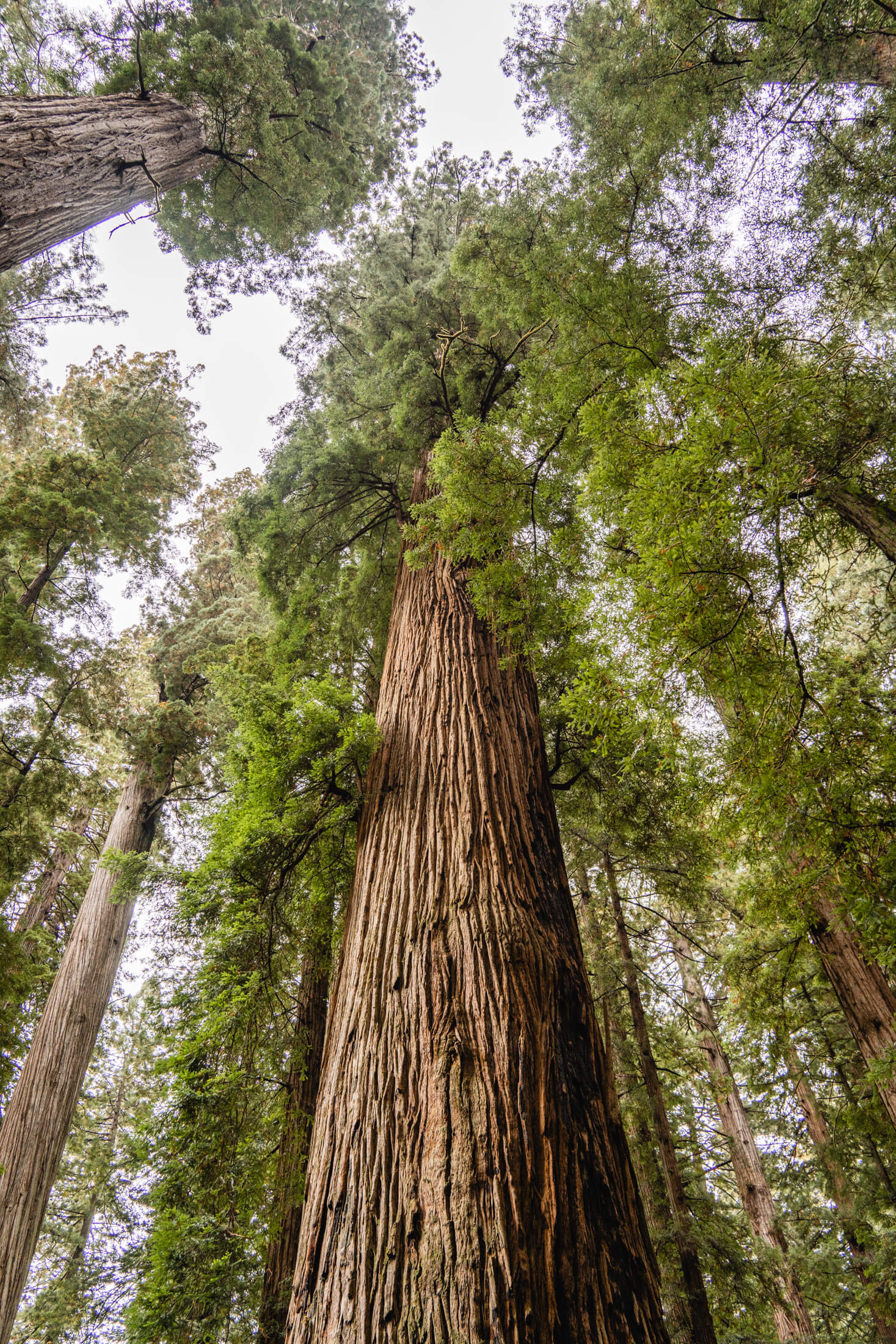
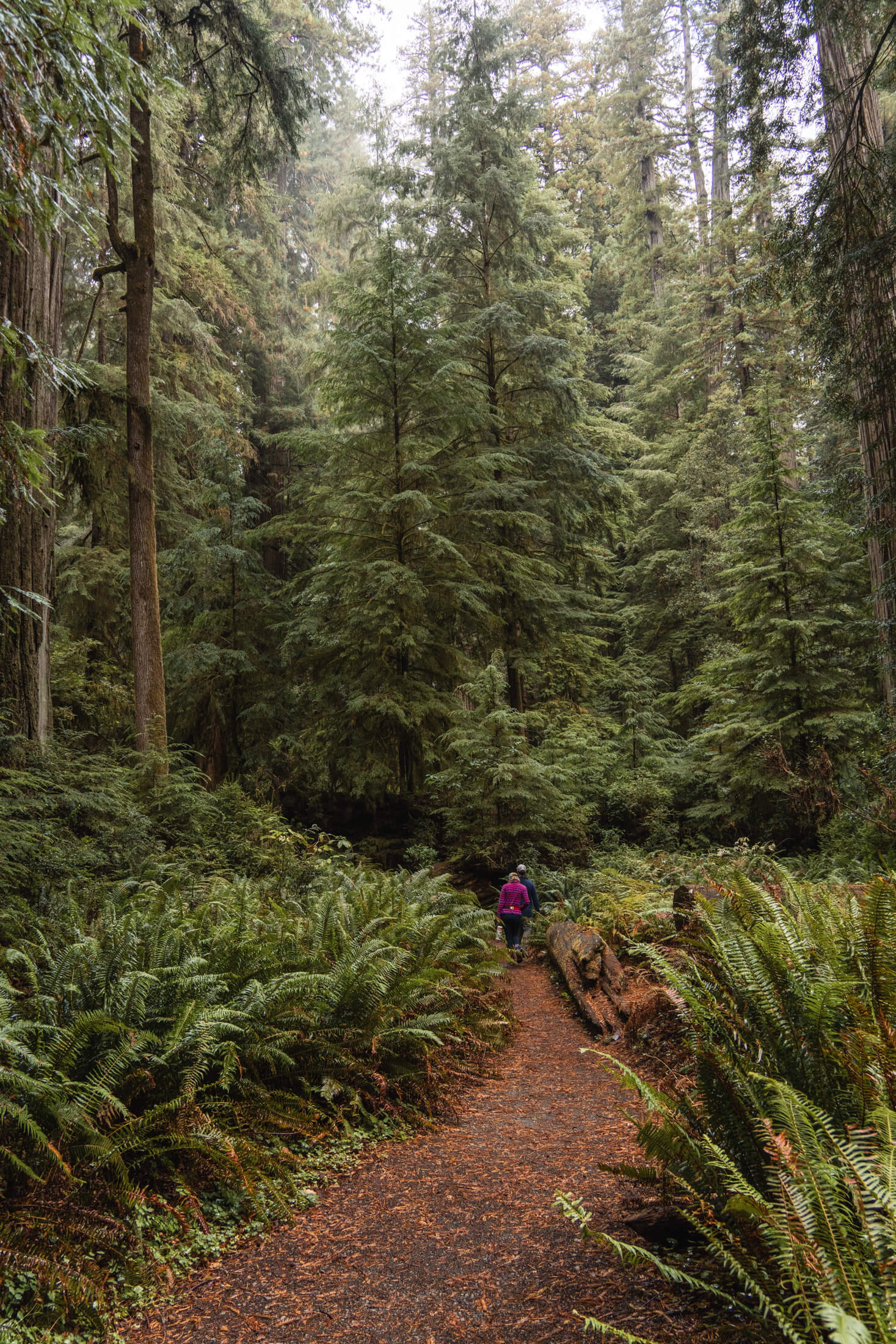
The Redwoods on California’s northern coast are the tallest trees in the world and really feels like a very very old forest as you walk around in there. We did a couple quick hikes before camping outside of Crescent City. Crescent City has some interesting characters and feels a bit forgotten, but we had a good time before continuing up the Oregon Coastline.
Hiking through the old growth Redwood Forests