Broken Top &
The Oregon Coast
Broken Top &
The Oregon
Coast
Oregon
September 5-12, 2026
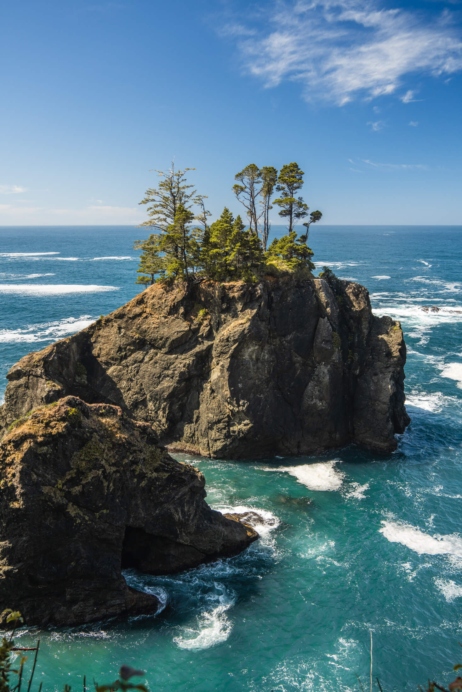
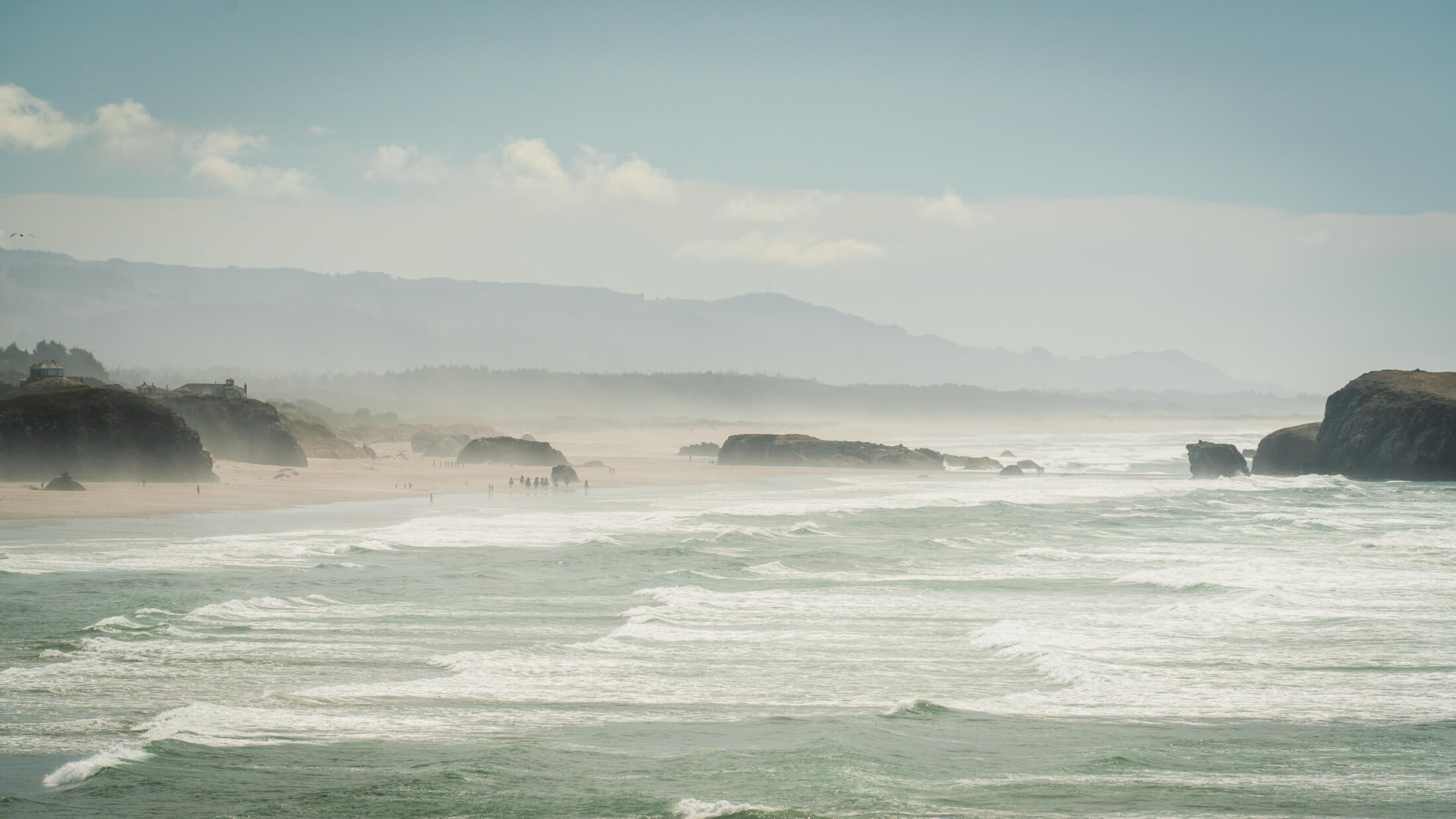
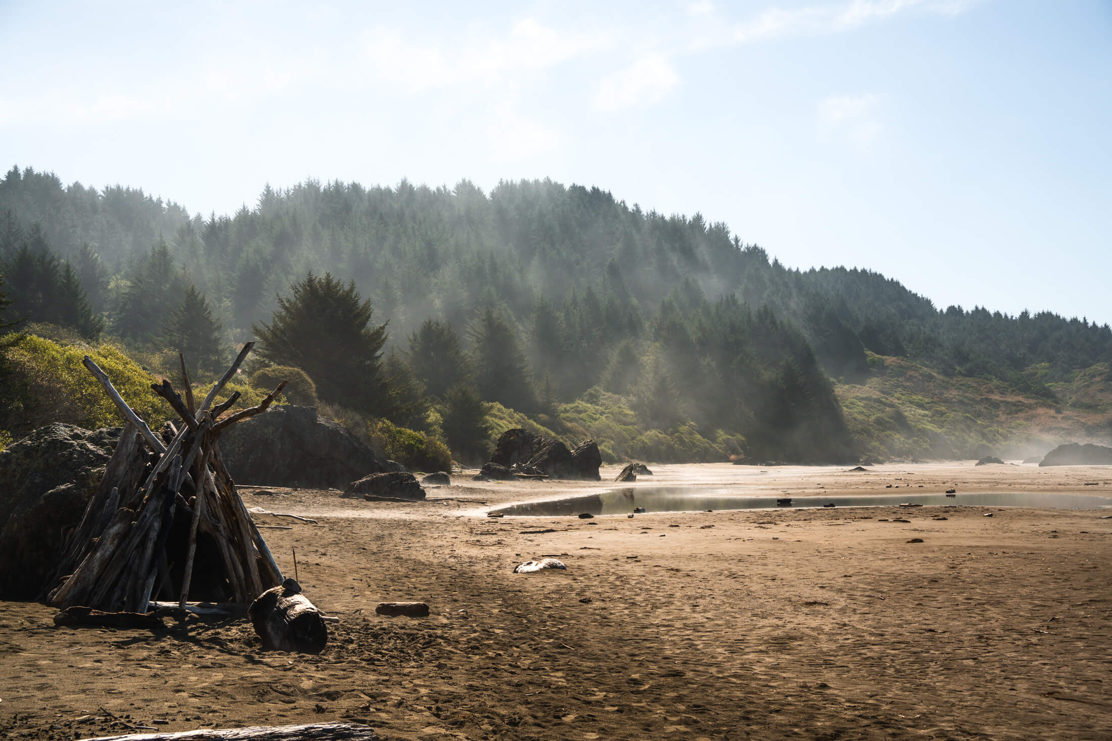
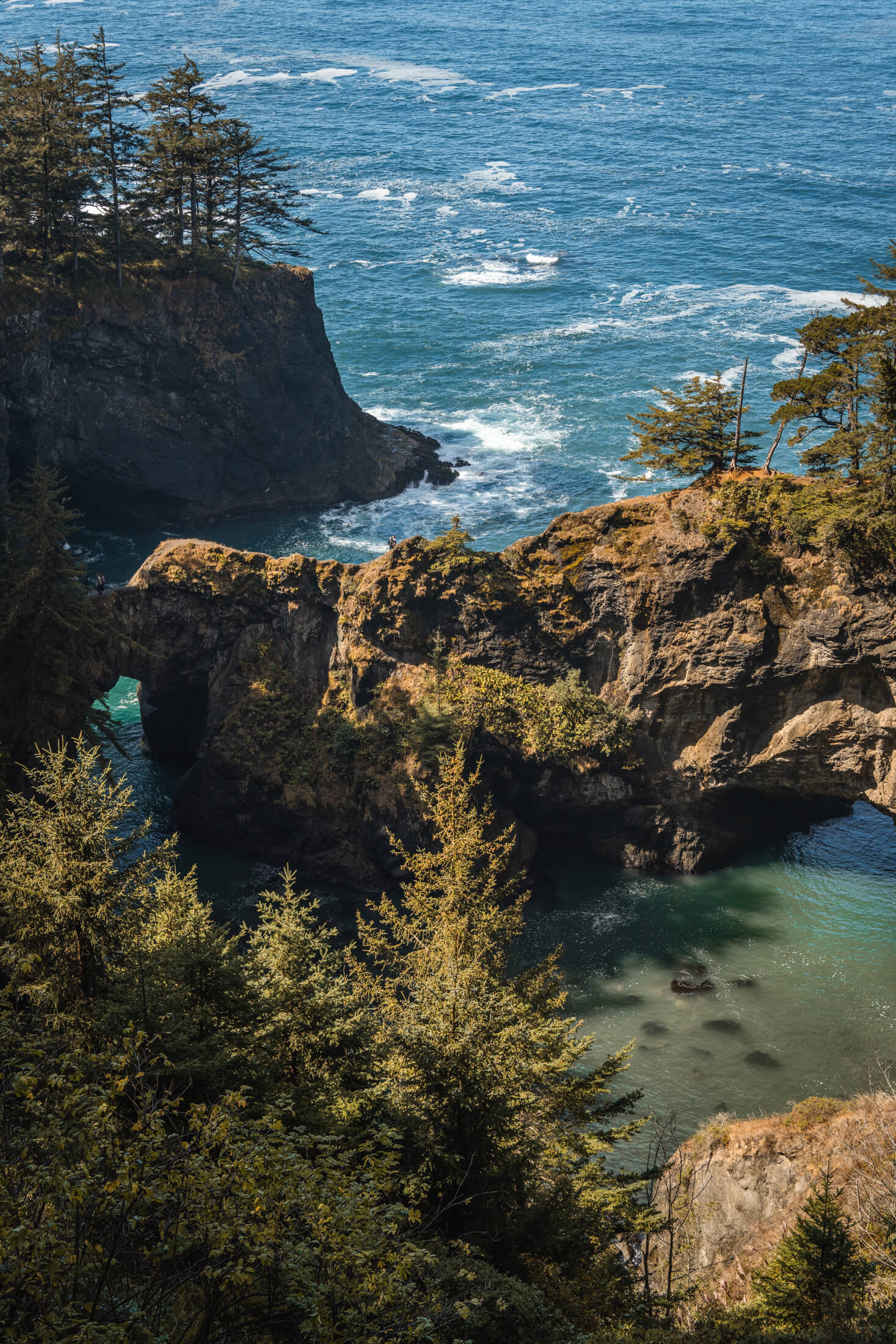
We took a roundabout drive back to Bend and made a number of stops along Route 101 between Crescent City, California and Newport, Oregon.
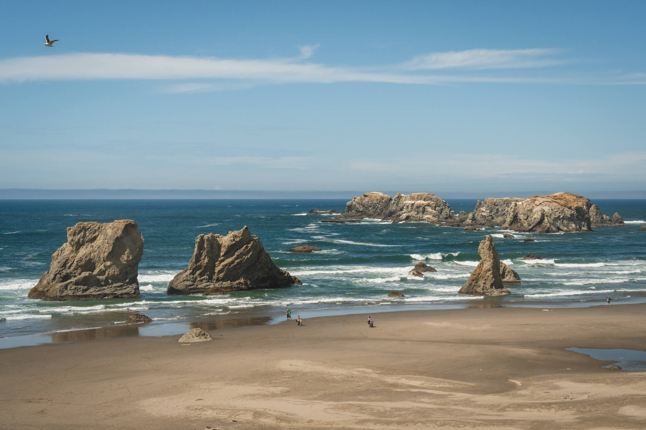
Labor Day weekend on the Oregon Coast is a pretty solid time to visit and we made some stops at Coos Bay, Cape Sebastian, Thor's Well, and Bandon. Labor Day weekend on the Oregon Coast is a pretty solid time to visit and we made some stops at Coos Bay, Cape Sebastian, Thor's Well, and Bandon.
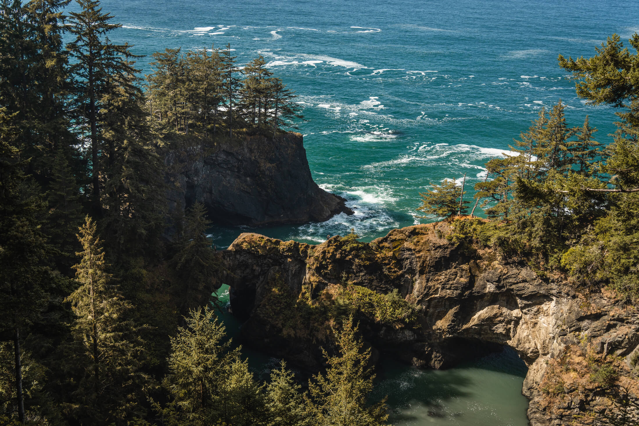
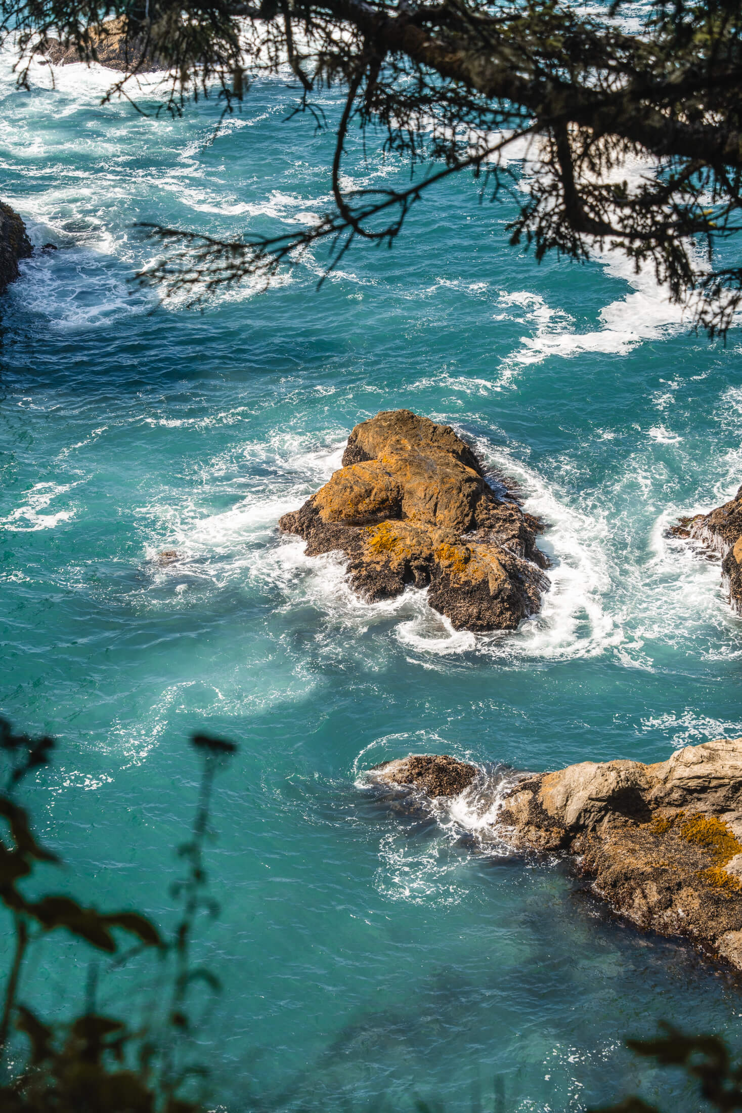
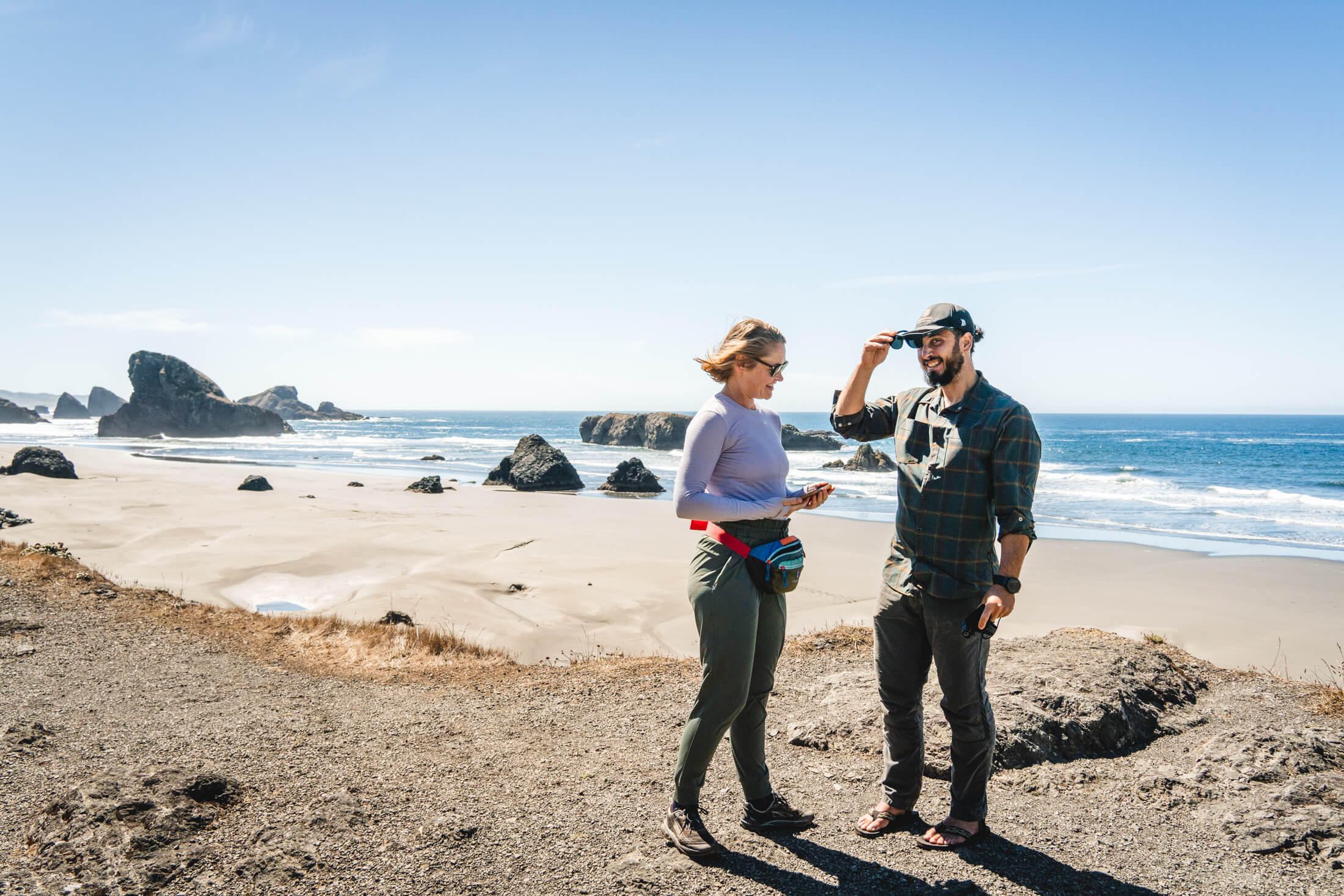
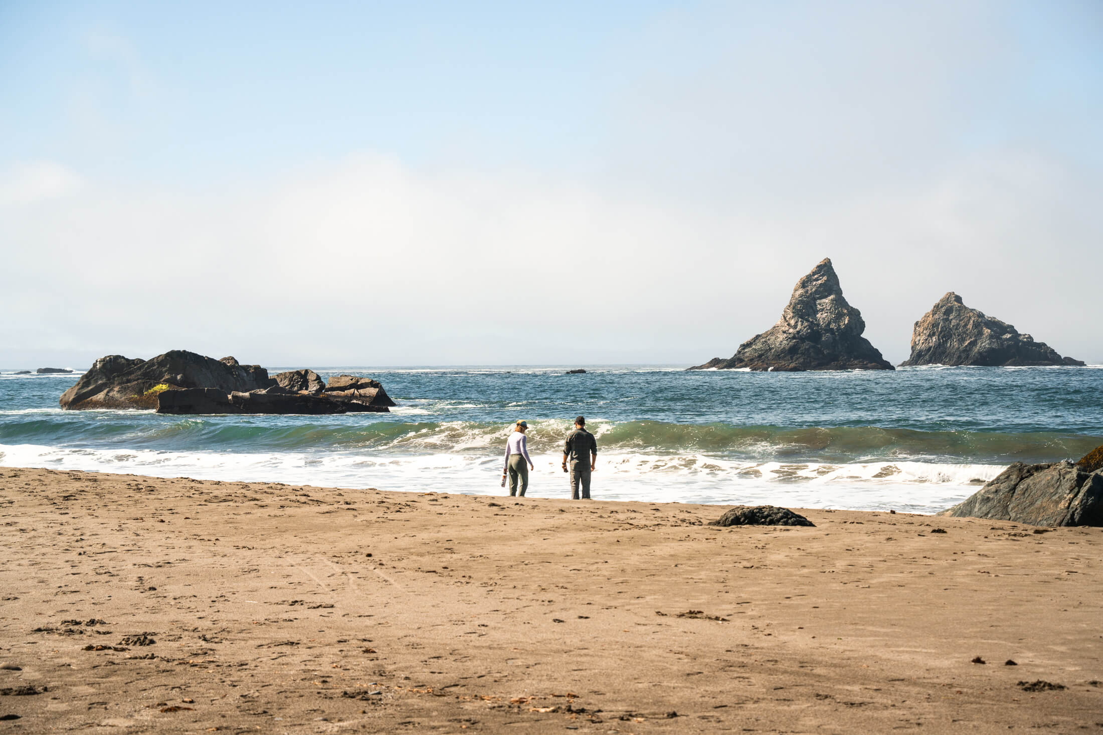
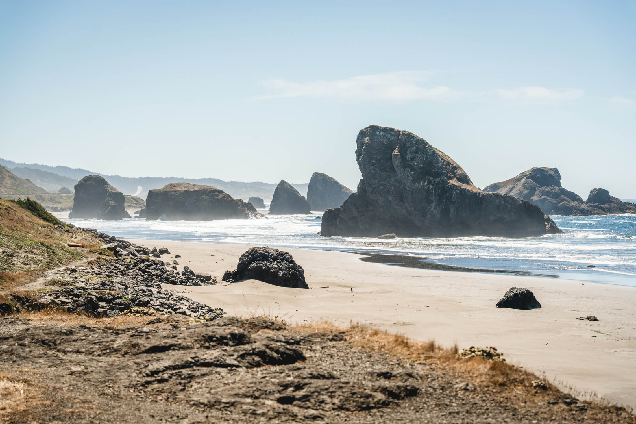
Coastal views from Bandon, Oregon
The beautiful Oregon coast
After a couple days hanging in Bend, Matt, Ashley and I were set to hike up Broken Top.
The weather was a bit iffy but we had the permit and a free day so we gave it a go. Broken Top Summit requires a hiking permit and sits in the beautiful Green Lakes Wilderness. It’s an easy 30 minute drive just outside of Bend. Broken Top is categorized as a volcano and as the name suggests, it is broken right in the middle of the summit creating this cool dual-summit appearance with a sketchy looking traverse in between them (this is not part of the standard summit route). 
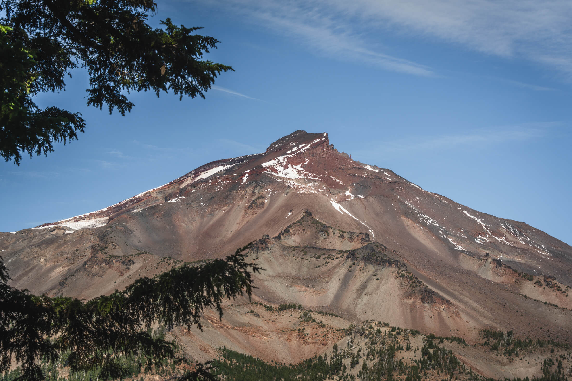
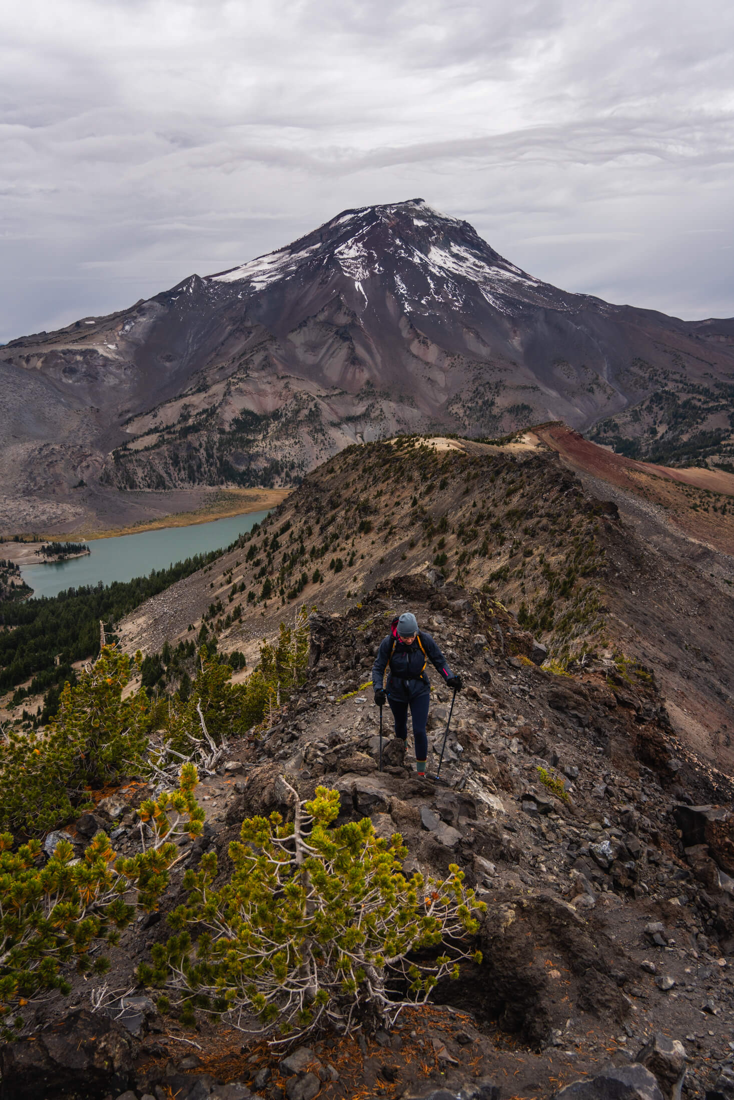
South Sister, viewed from Green Lakes
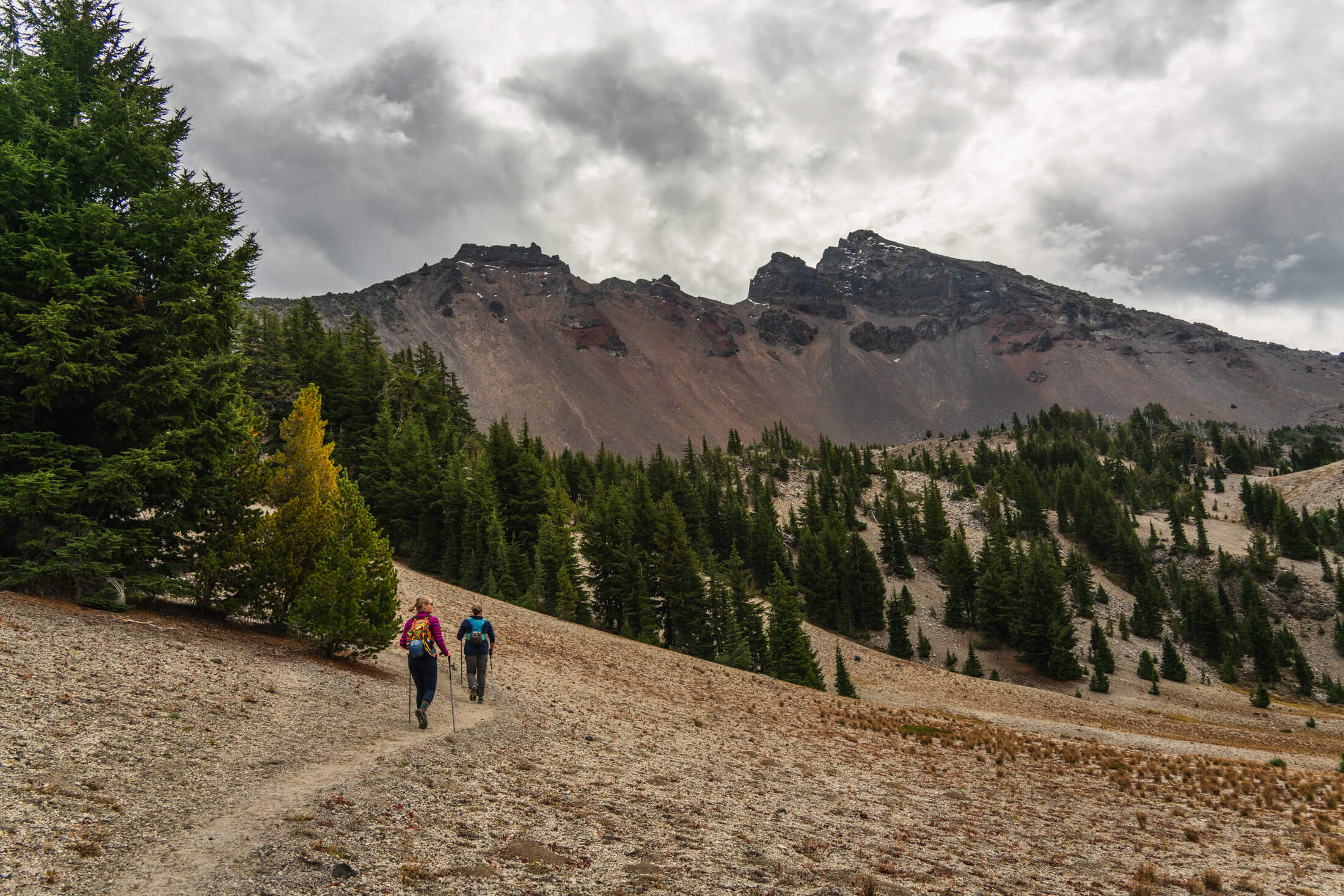
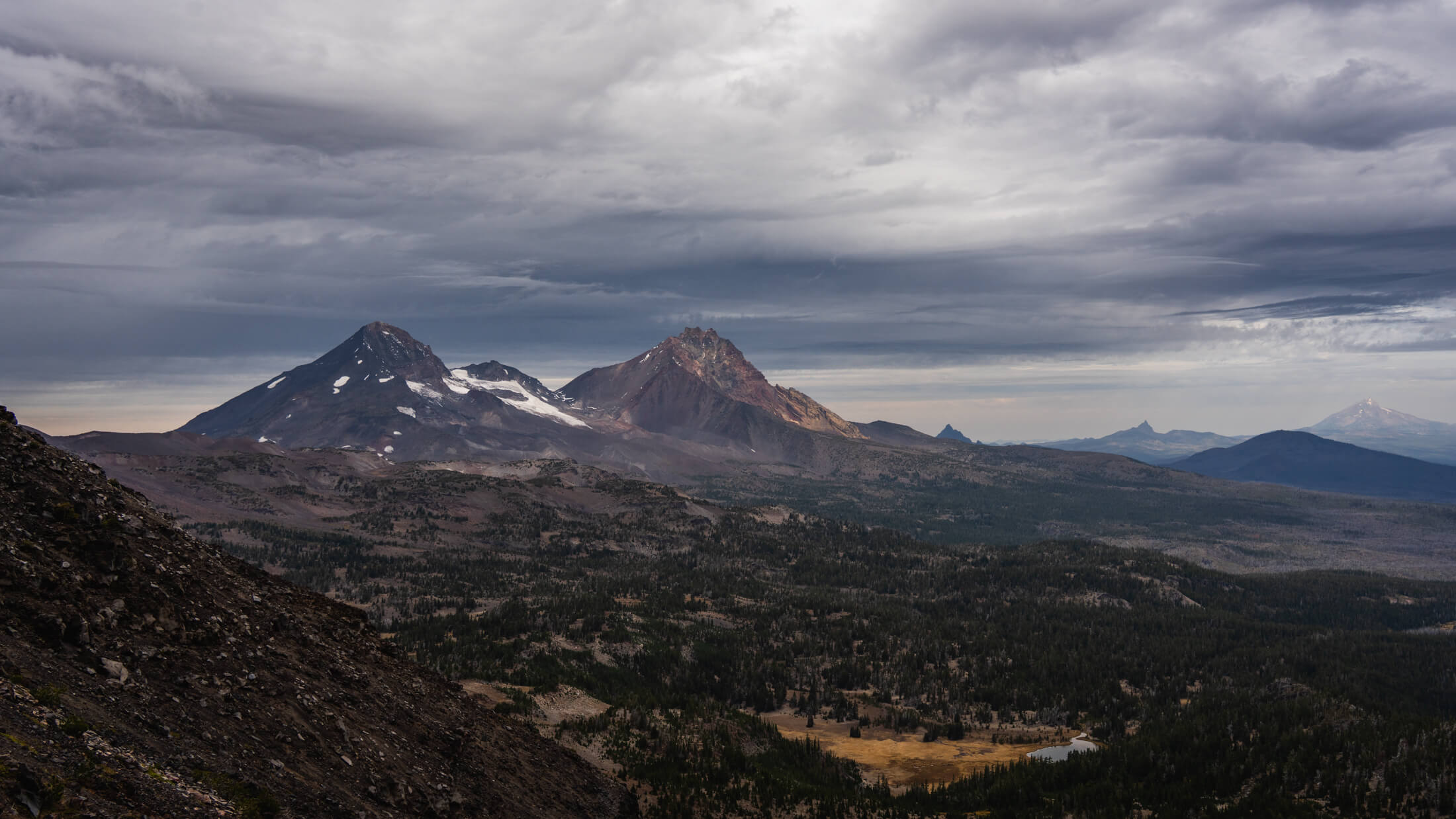
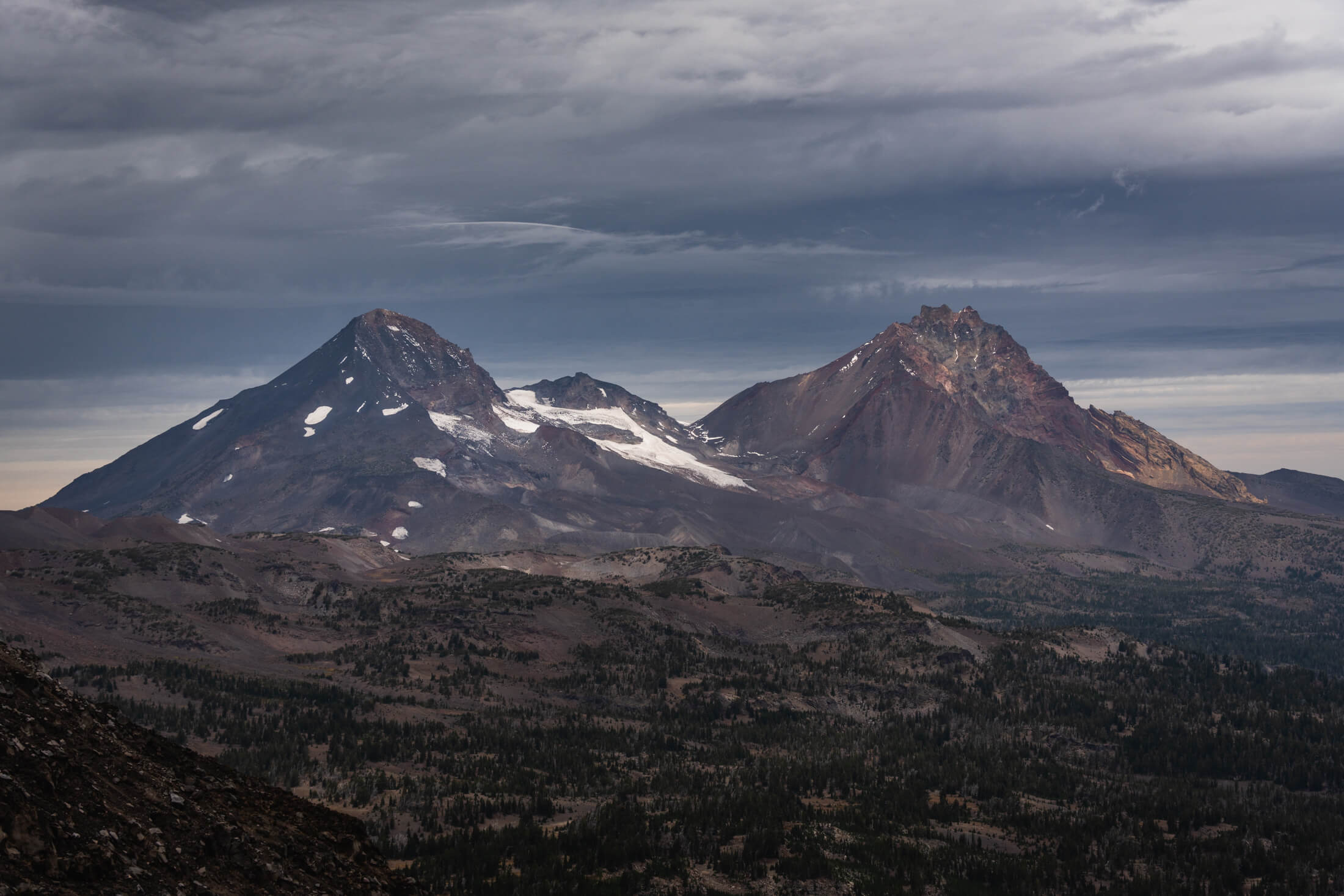
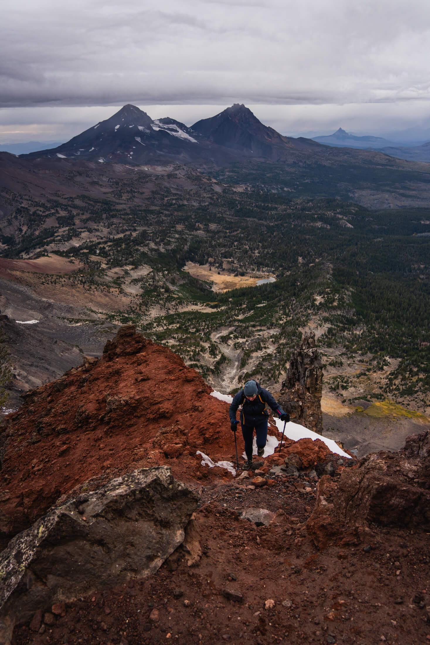
Approaching Broken Top just above Green Lakes, the true summit is the left peak (image 1), From left to right: Middle Sister, North Sister, Mount Washington, Three Fingered Jack, and Mount Jefferson (image 2)
We had previously done the hike up to Green Lakes which is a beautiful, forested hike and is super mellow all the way up to the lake. Broken Top Summit Trail continues past this point and totals about 12.5 miles and 3,700 feet of gain.
The summit is 9,175 feet and as you ascend from the lakes the true summit is the one on the left (even though the right looks much higher).
We started around 7:45 AM and quickly got up to Green Lakes. From here the trail gets significantly steeper as you make your way up to the ridgeline of Broken Top which starts just under 8,000 feet. The clouds, wind, and a wintery mix of dip and dots hail were rolling in as we ascended the ridgeline. The summit looks close but there is about 1,000 vertical feet from the start of the ridgeline and the terrain is a bit more difficult than what proceeded this section.
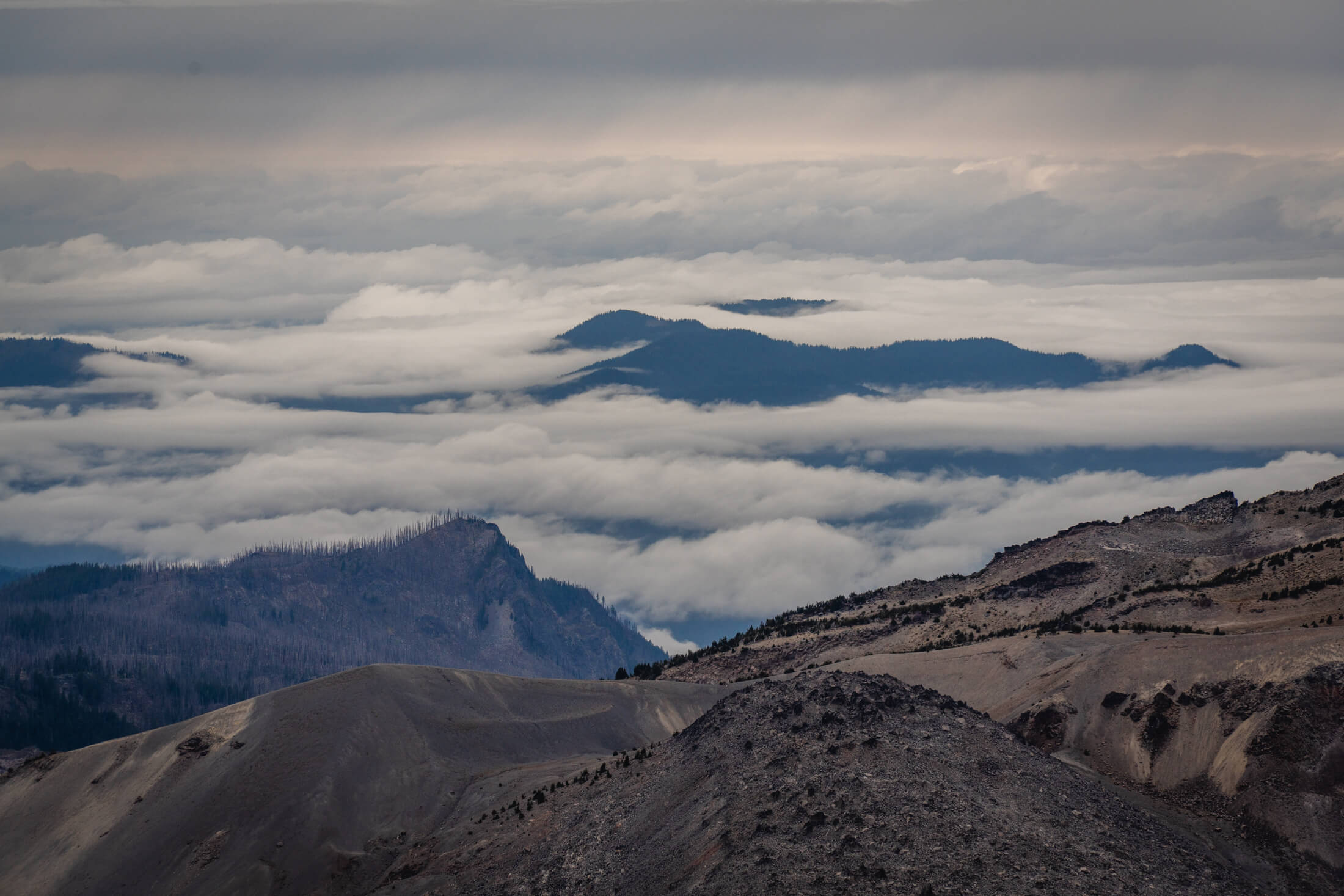
Clouds rolling in as we ascended on the ridegline (image 1), A view of Middle and North Sister from the ridegline (image 2)
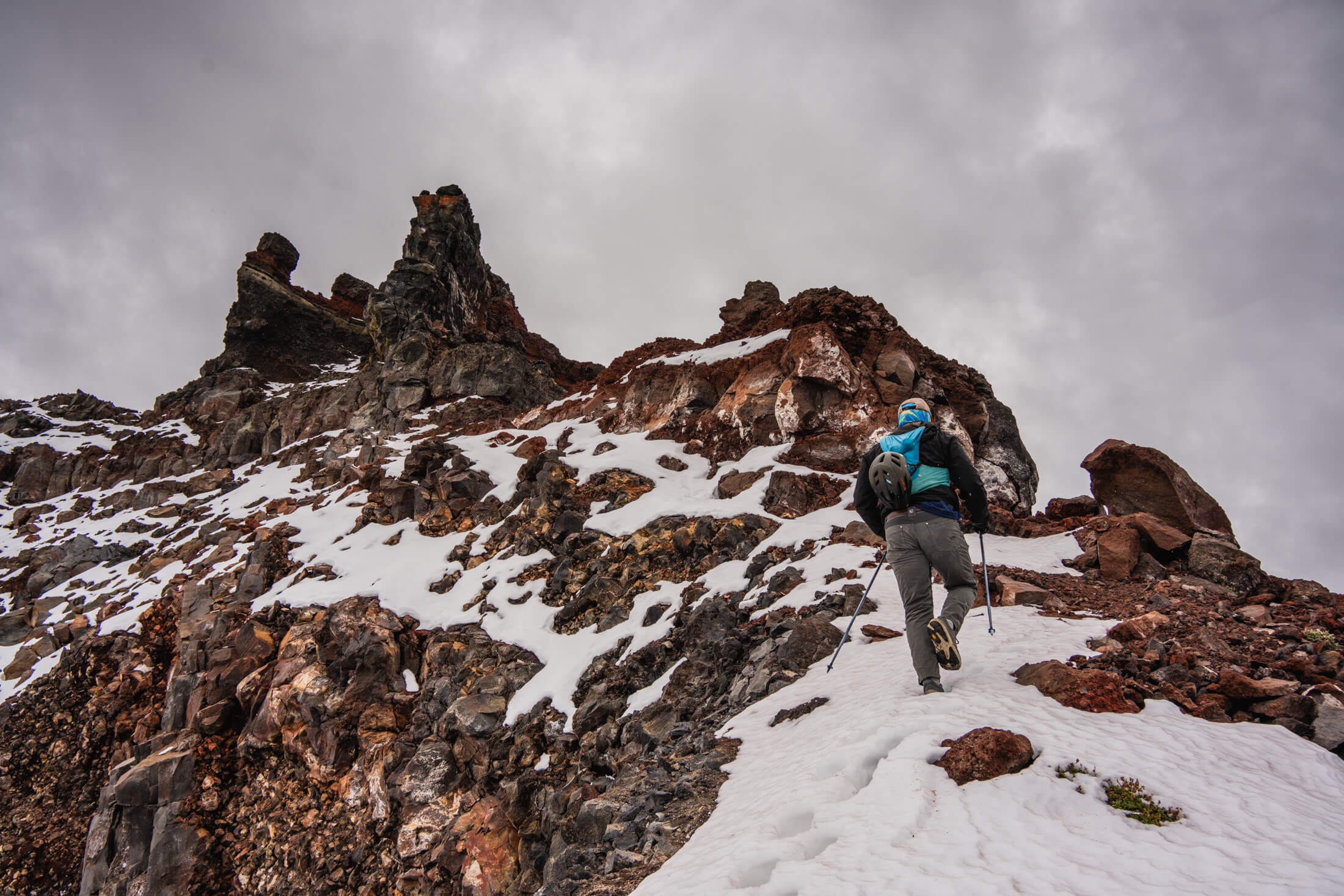
The trail is pretty obvious and the terrain doesn’t exceed class 2/2+ here. There is really only one way to go, and that is up. About 150 feet shy of the summit feet you reach the crux of the route. You make your way hard right and find a short 10-15 foot chimney to use to climb up to the next ledge. When you are looking right along this ledge, it is the second chimney crack, not the first. This is the hardest part of the day. A hard left at this point brings you to a short crack climb where climbers typically rope up. This probably rates at class 3 or 4. 
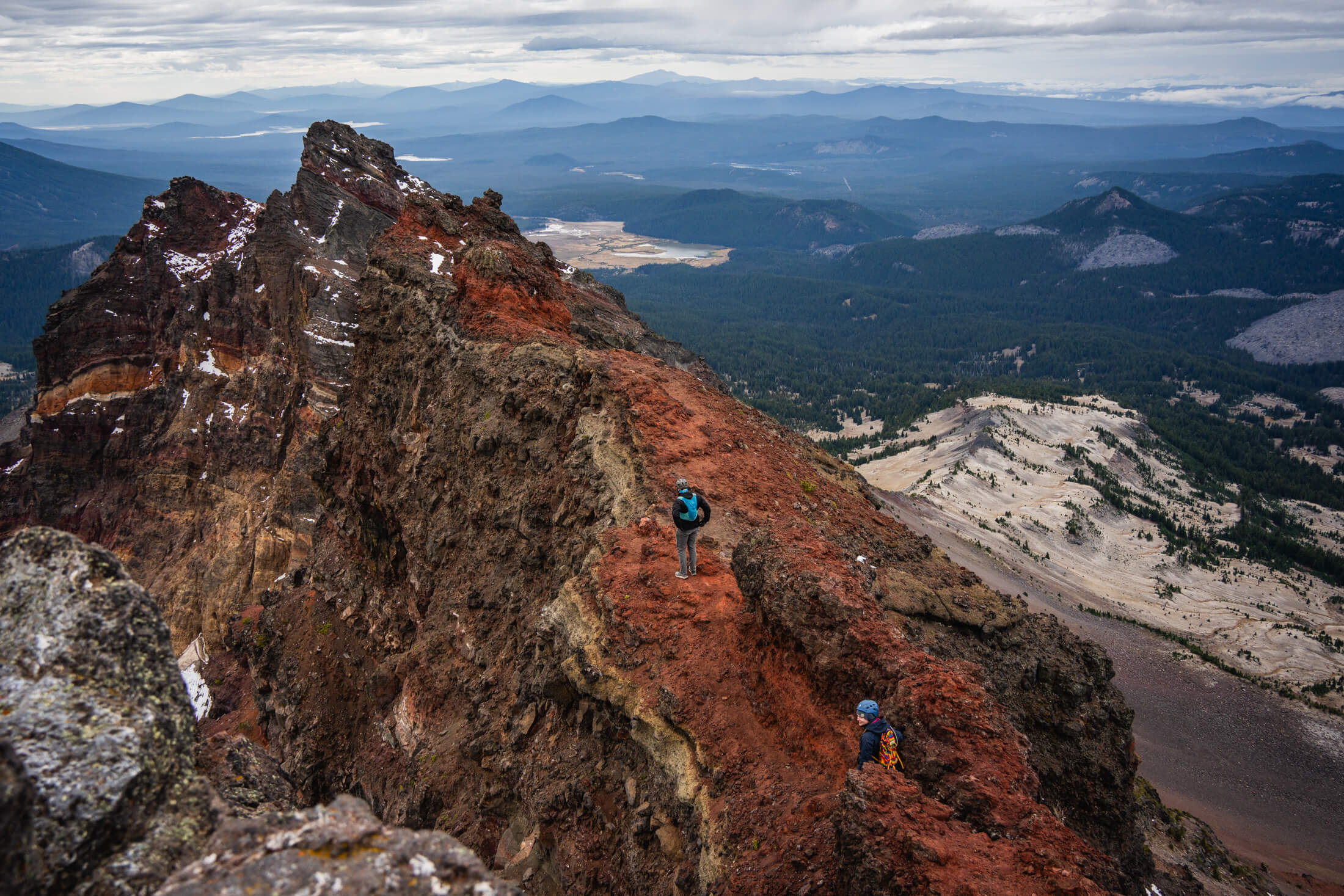
From here you follow the ledges of red, volcanic rock back around and up to a very small summit.
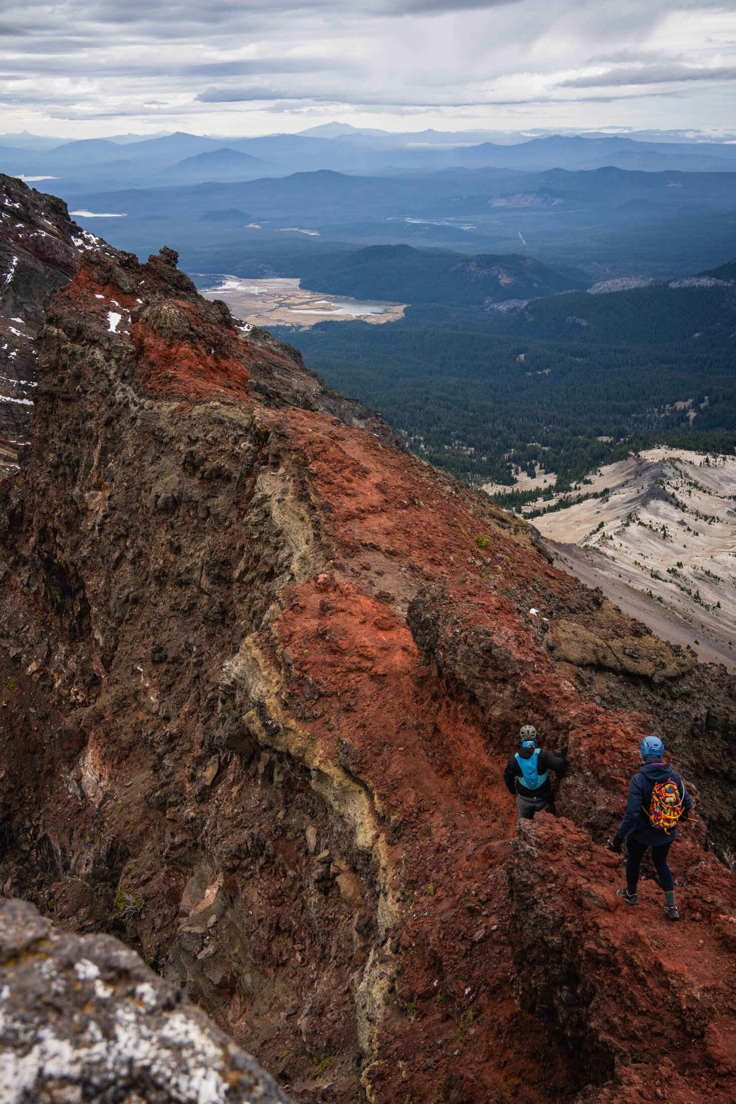
There is definitely some exposure on the ledges and you want to watch your footing. There are a couple of anchors placed at the top for climbers to rappel down. 

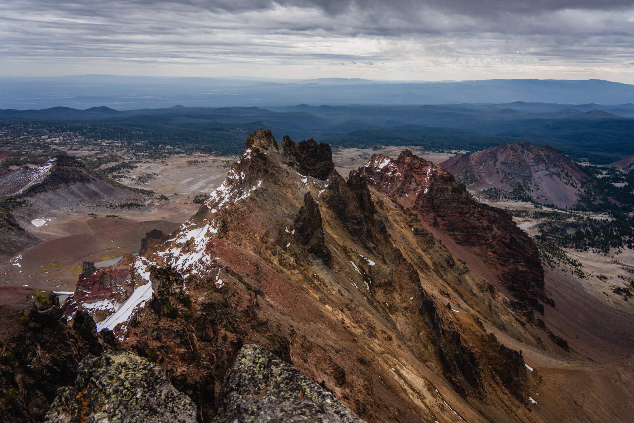
In total the hike took us 7.5 hours. You have amazing views of the prominent Three Sisters Peaks and their silhouettes (along with Broken Top) are pretty iconic and visible from the entire surrounding area. 
Matt in the one snow patch just below the summit of Broken Top
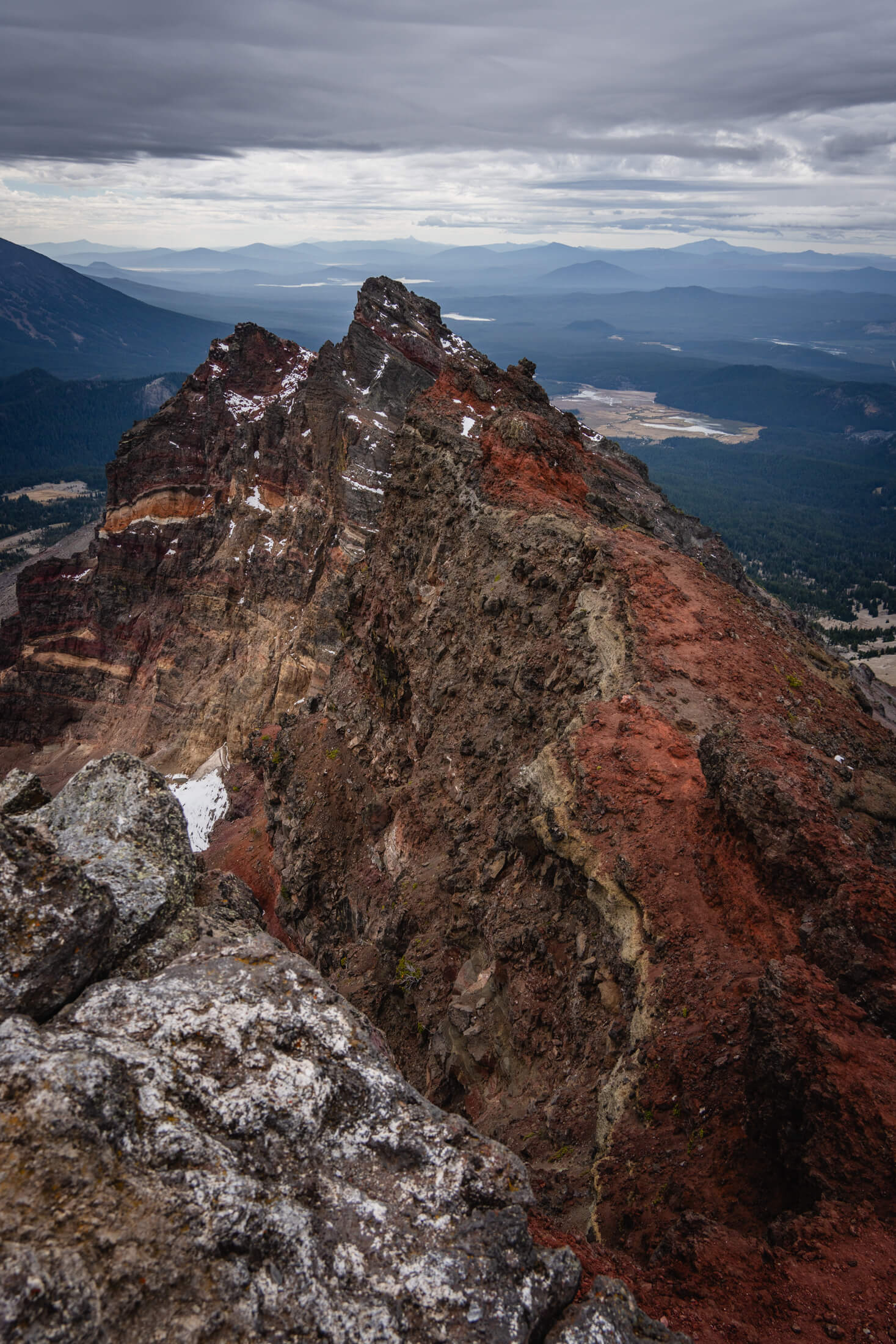
Summit views (images 1 & 4), Ashley ascending the ridge of Broken Top with the Sisters in the background (images 2 & 3), Matt and Ashley decending just below the true summit (5 & 6)