Mount Sneffels
& Wilson Peak
Mount Sneffels
& Wilson Peak
Colorado
August 15-16, 2026
Mount Sneffels is one of the more popular Colorado 14ers and sits right in between Ouray and Telluride in the San Juan Mountains. There are a few routes up Mount Sneffels but I opted to hike the standard route up Yankee Boy Basin just outside of Ouray.
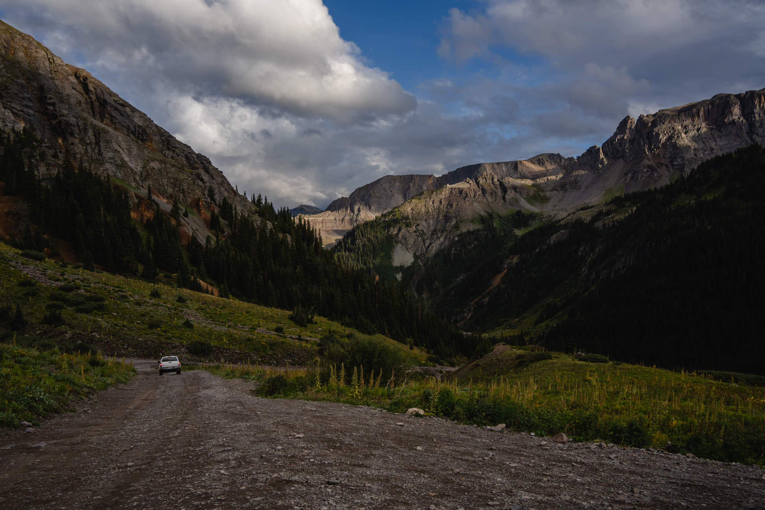
The first several miles of Yankee Boy Basin is accessible by a 2WD car and leaves Ouray from the Ice park (funny seeing this all melted out in the summertime). I easily got to the “outhouse trailhead”, which is where the AllTrails GPS tracks start from. I opted to park here because it’s still only a 5.6 mile, 2,800 foot round-trip and I was hauling all of my belongings on the drive back to San Diego so didn’t really want everything to go for a super bumpy ride.
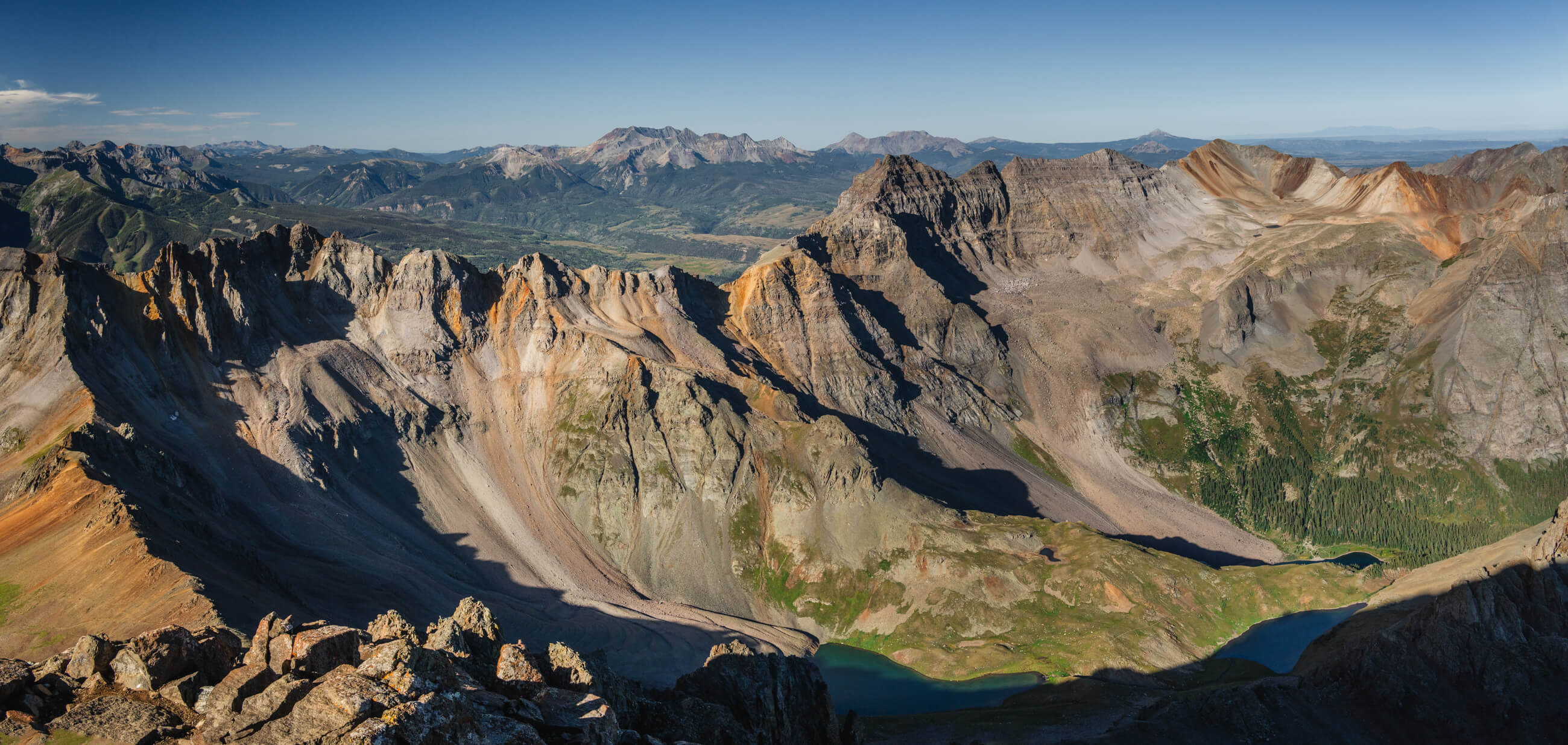
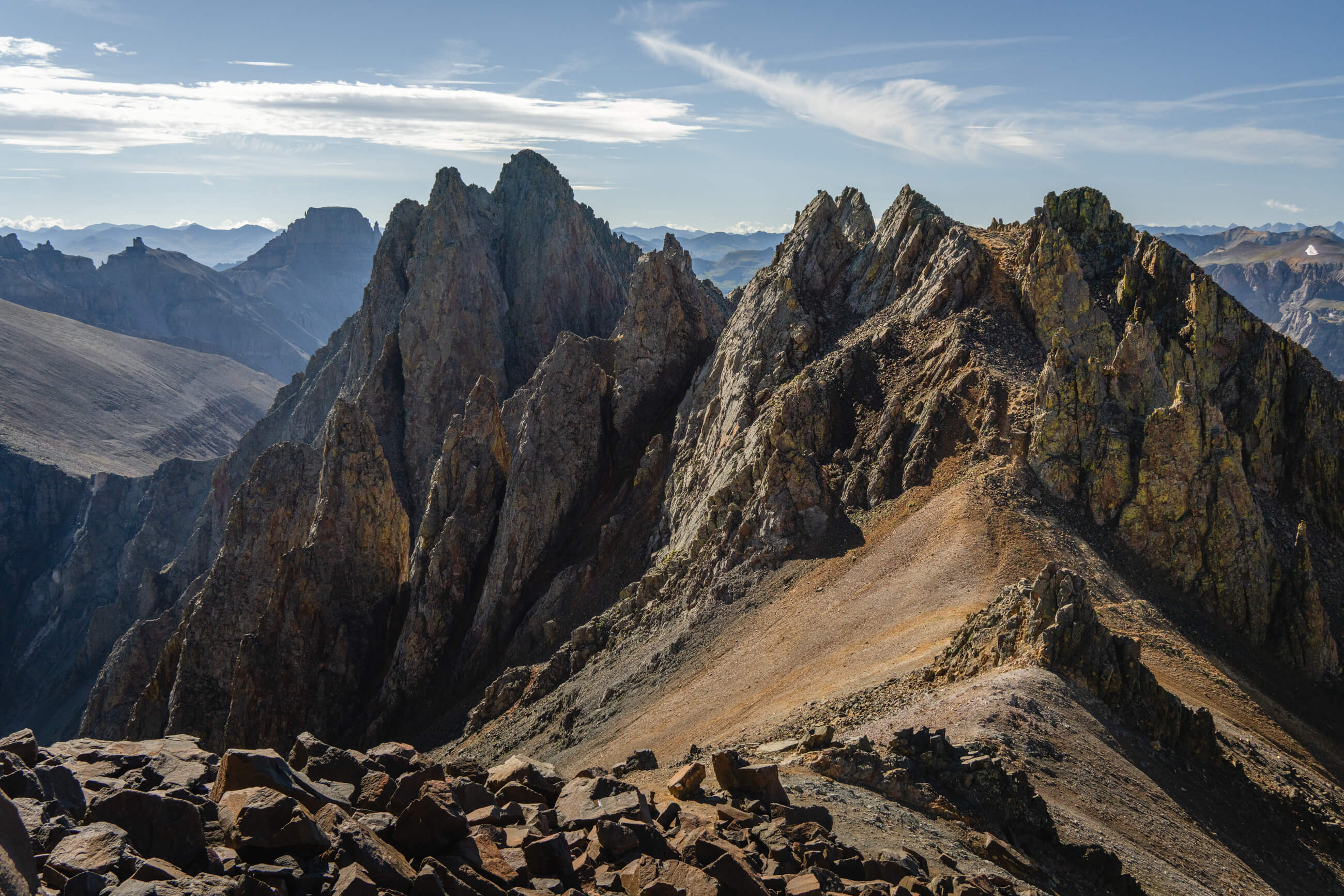
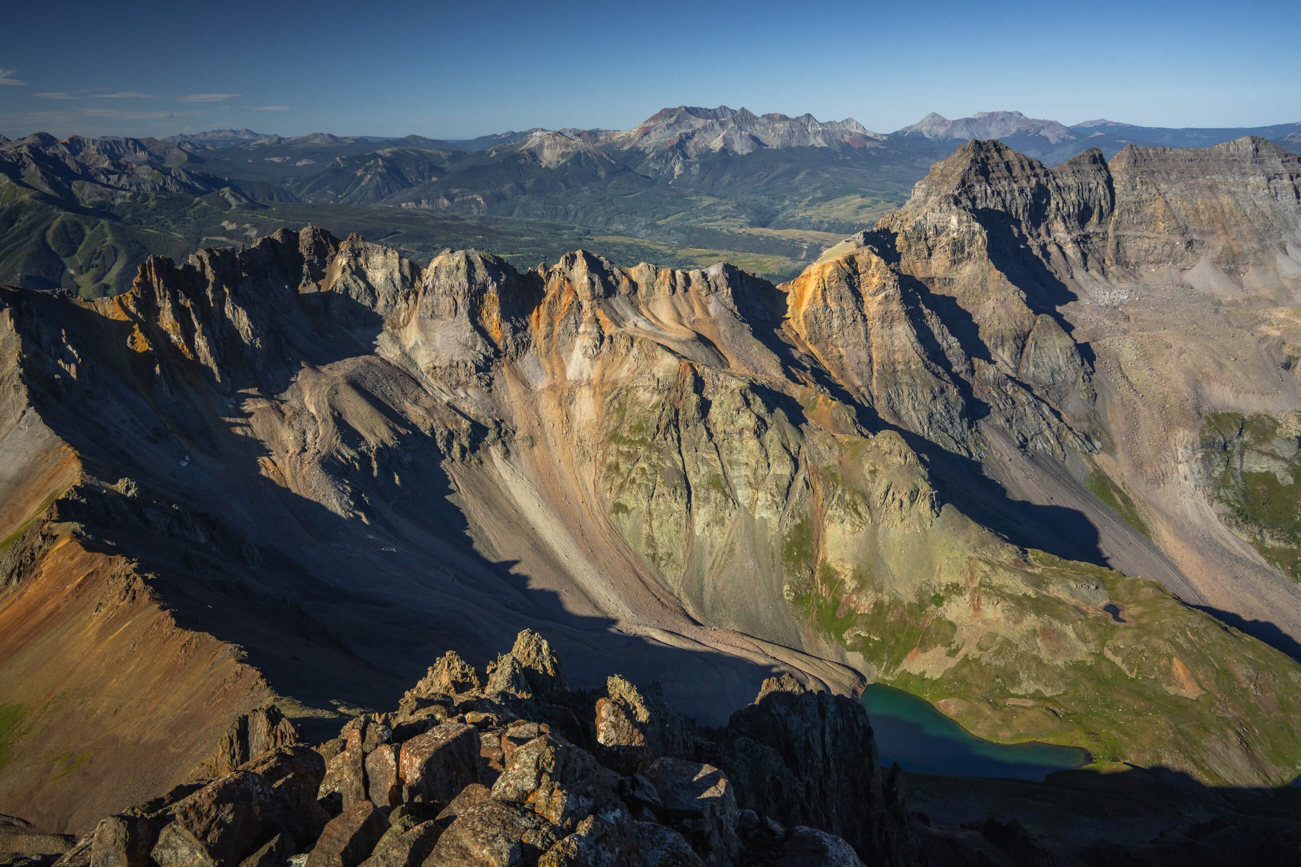
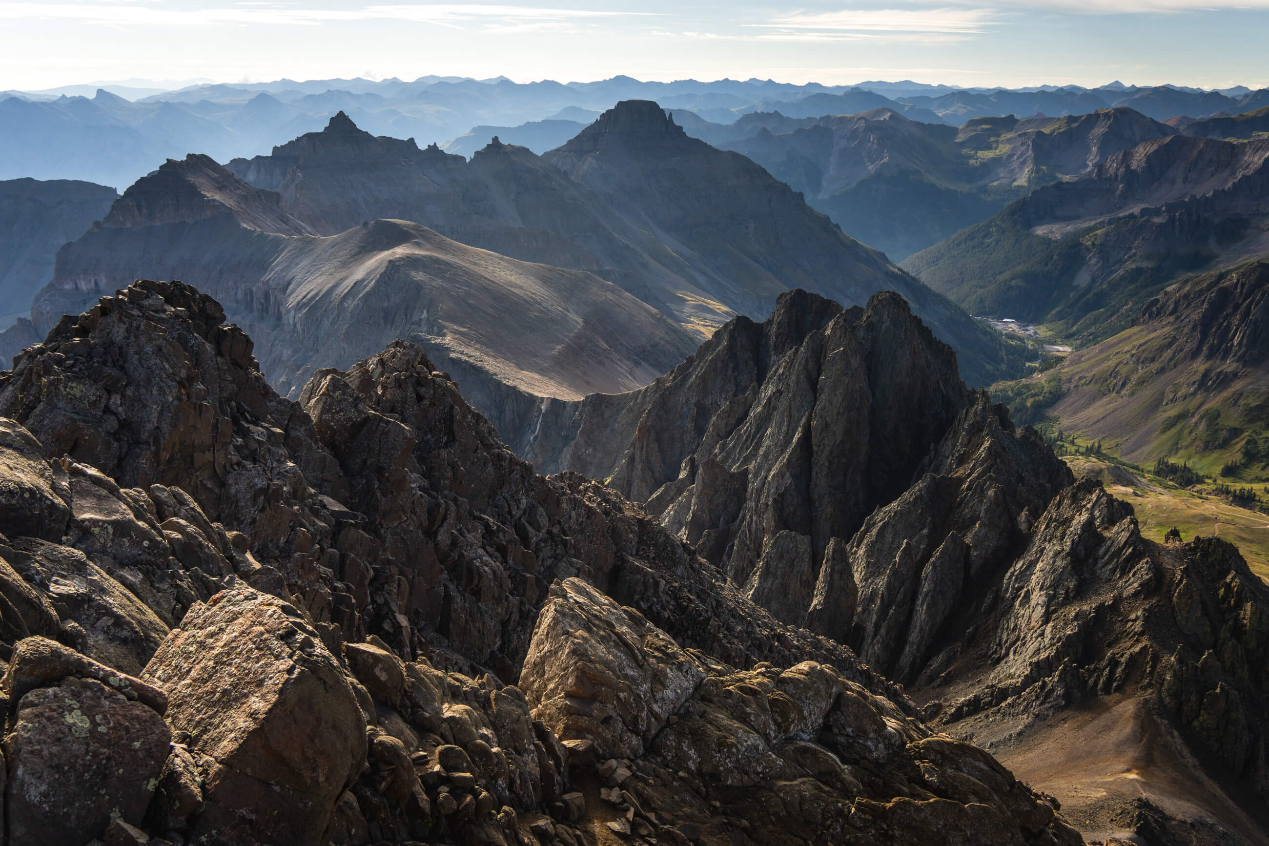
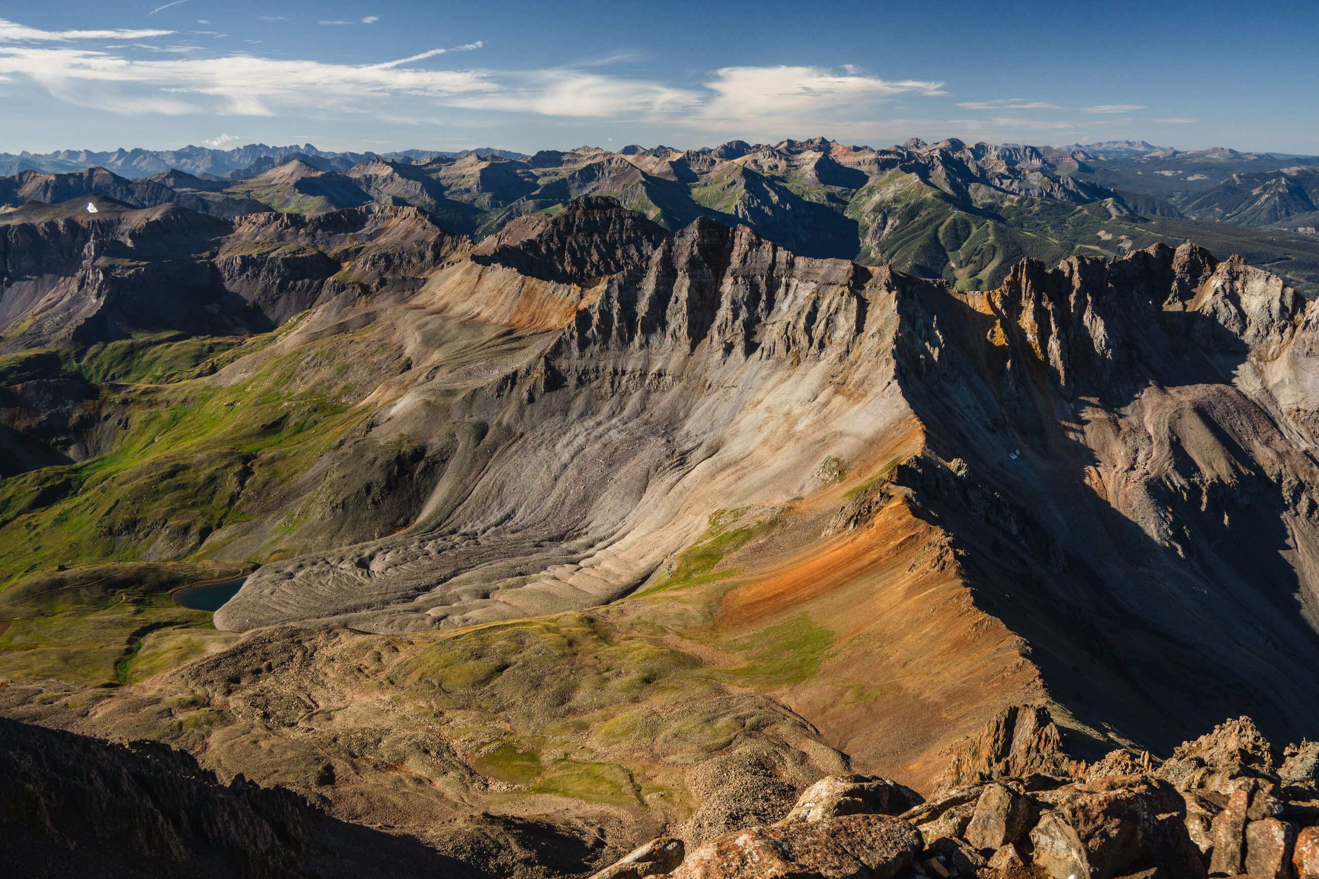
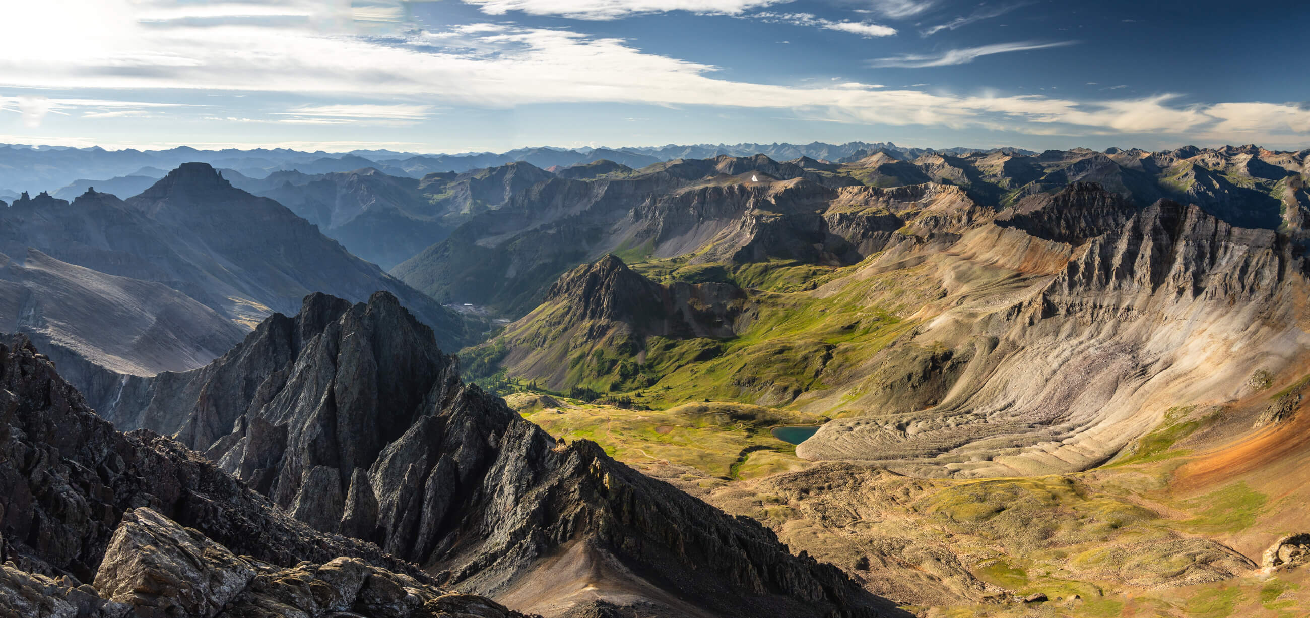
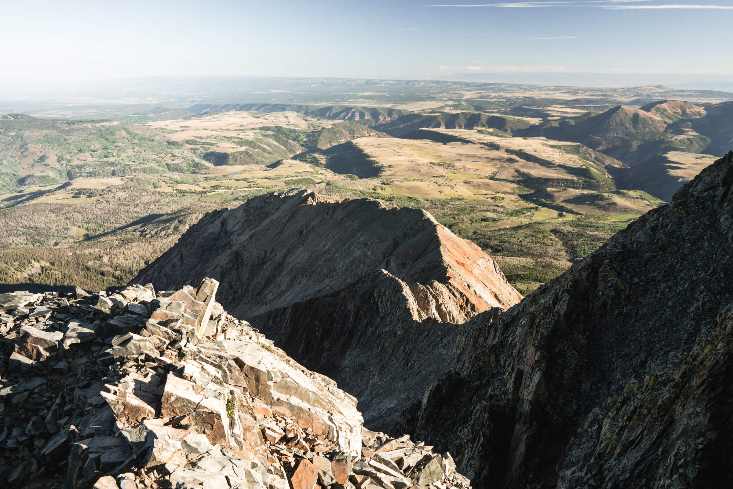
View from the summit of Mount Sneffels.
The road definitely deteriorates a bit after this, but it looks like a lot of fun and would be fine in a 4Runner. You can take the road all the way up to the Blue Lakes Trailhead which is only 1.2 miles from the true summit if you want a real quick day.

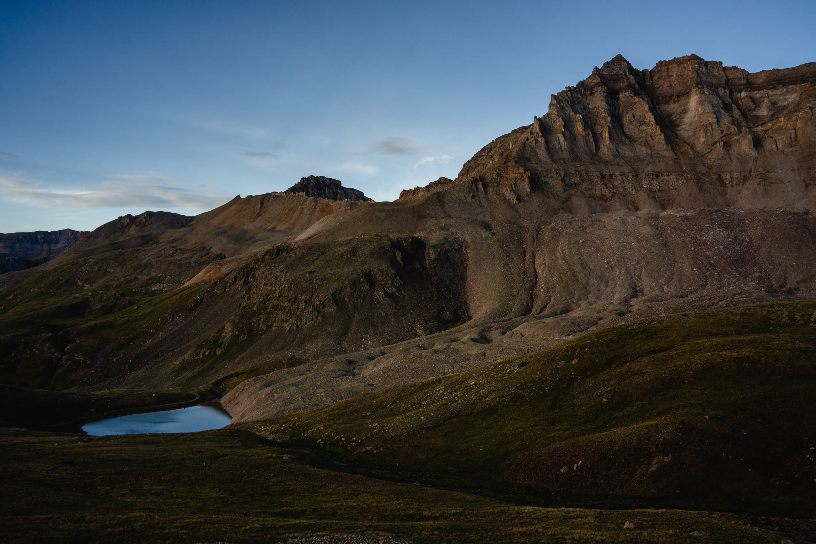
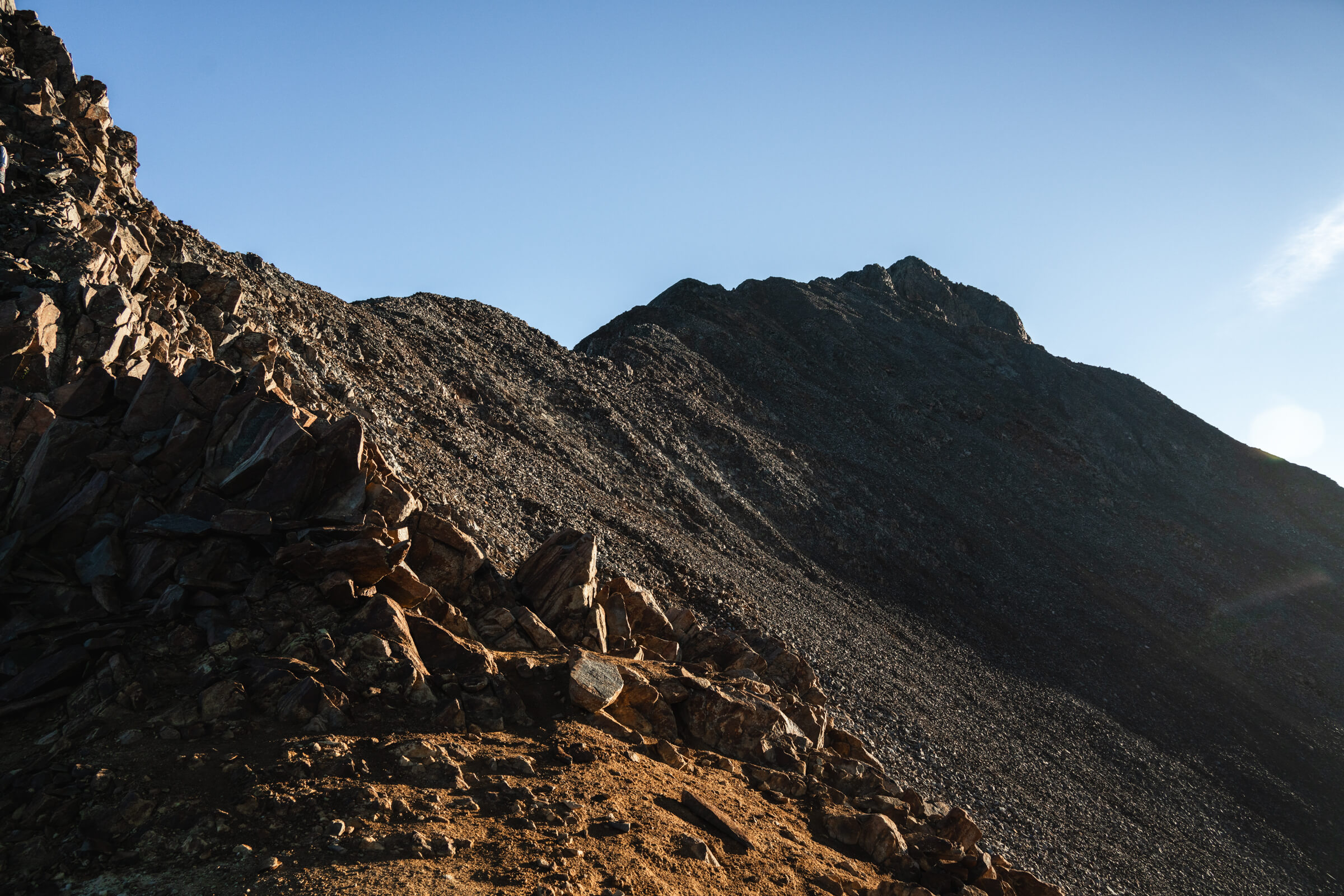
I left at 6AM and only had about 30 minutes in the dark. I was past Blue Lakes pretty quickly and reached the bottom of the first section of loose, shitty, kittie litter. I had spent some of the morning thinking Gilpin Peak behind Blue Lakes was Sneffels. But you can’t really see the true summit of Sneffels from the trail. 
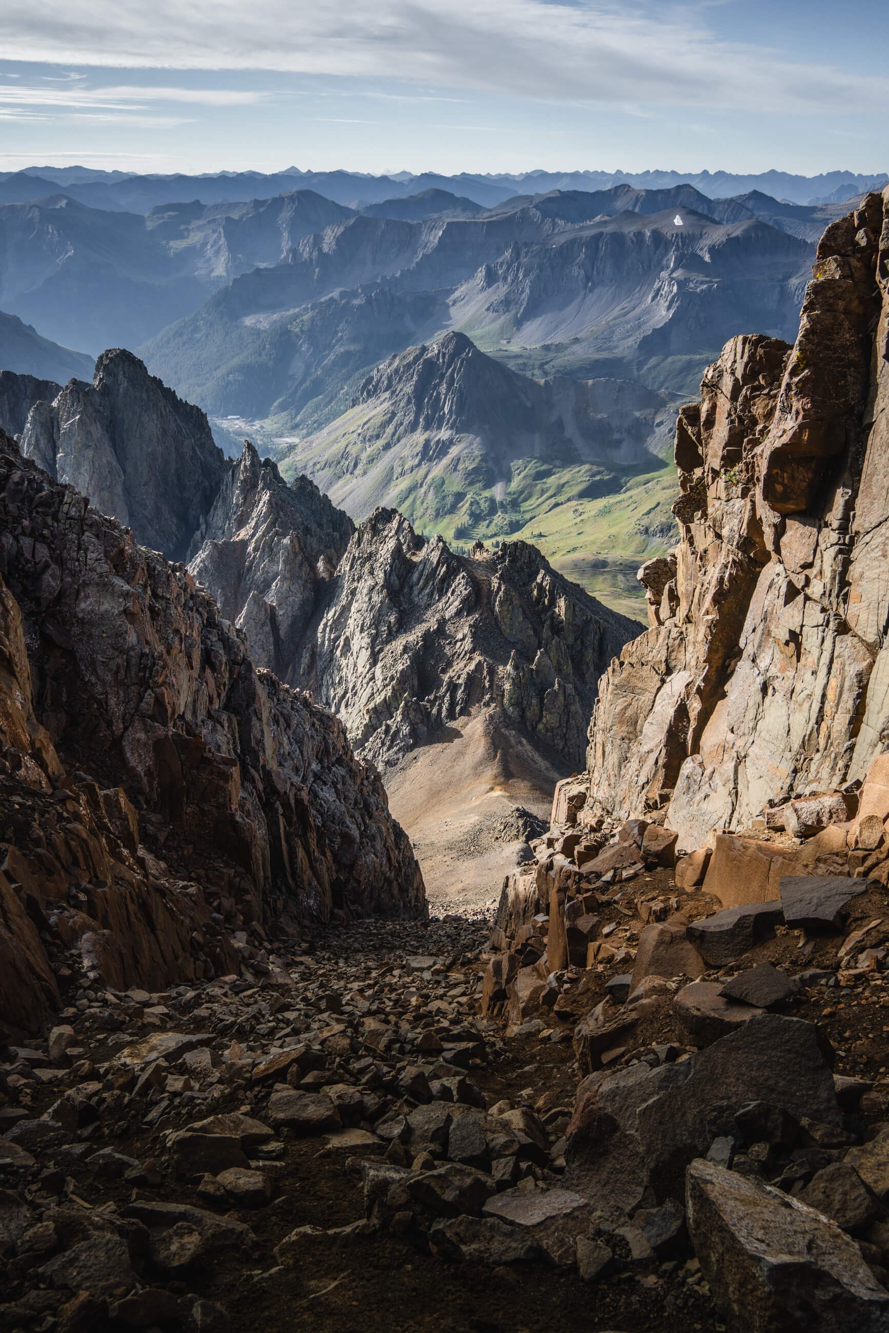
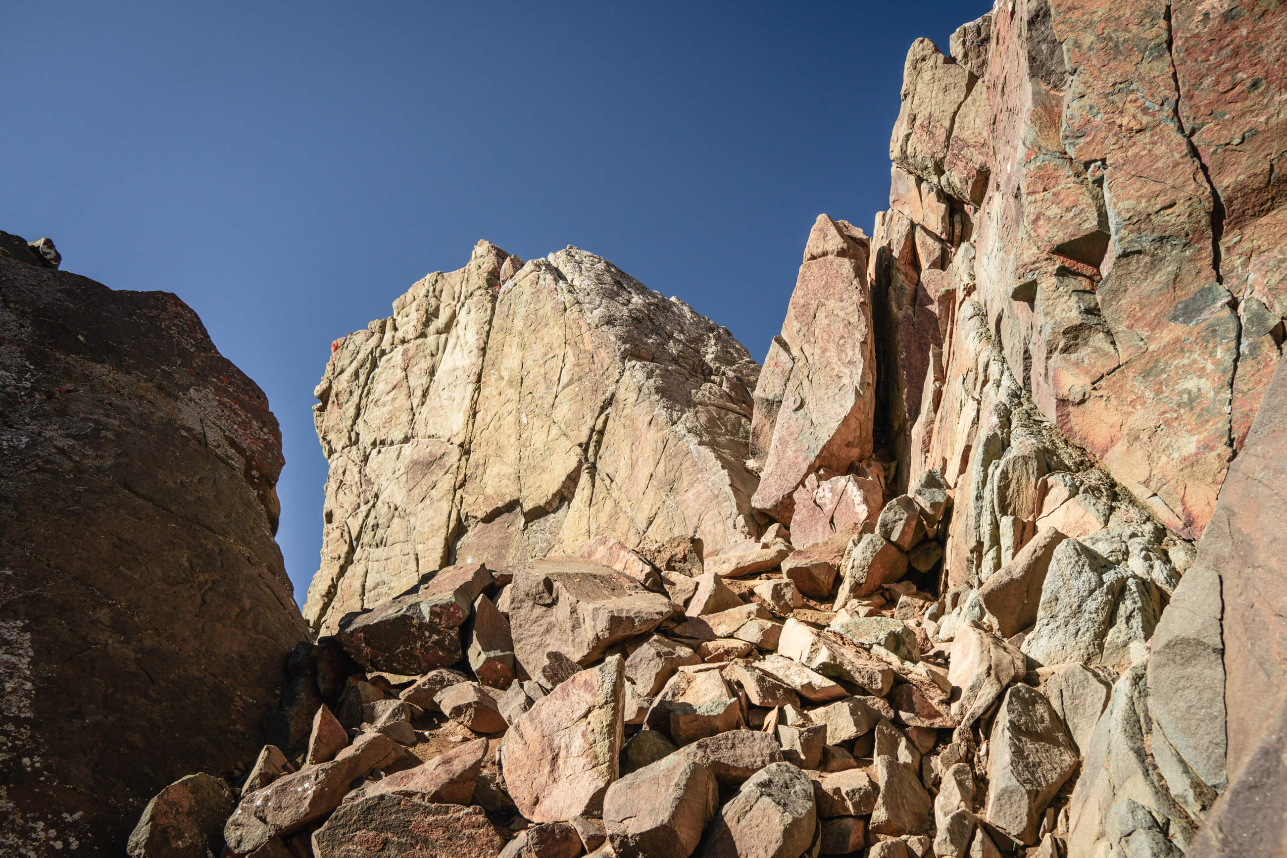
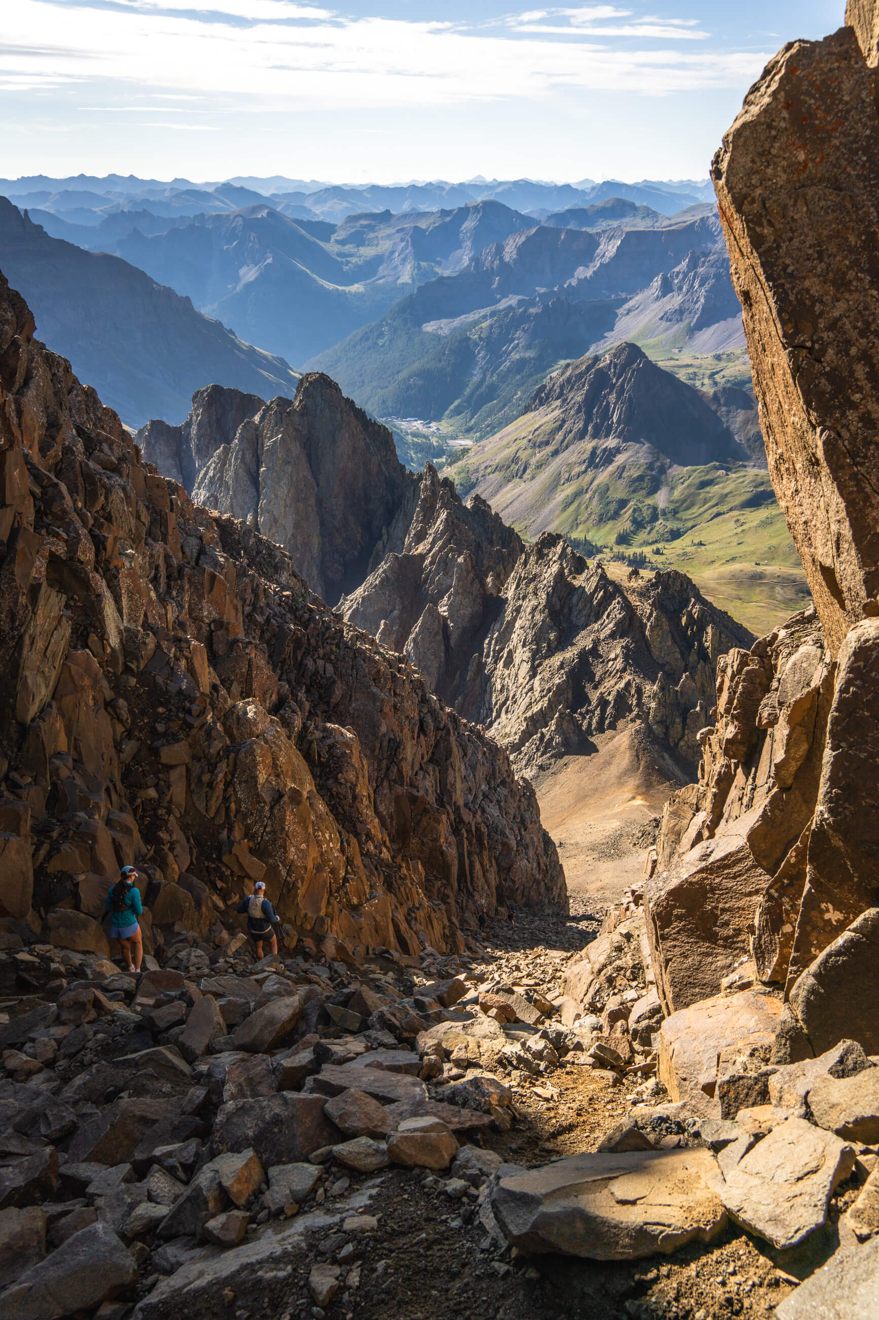
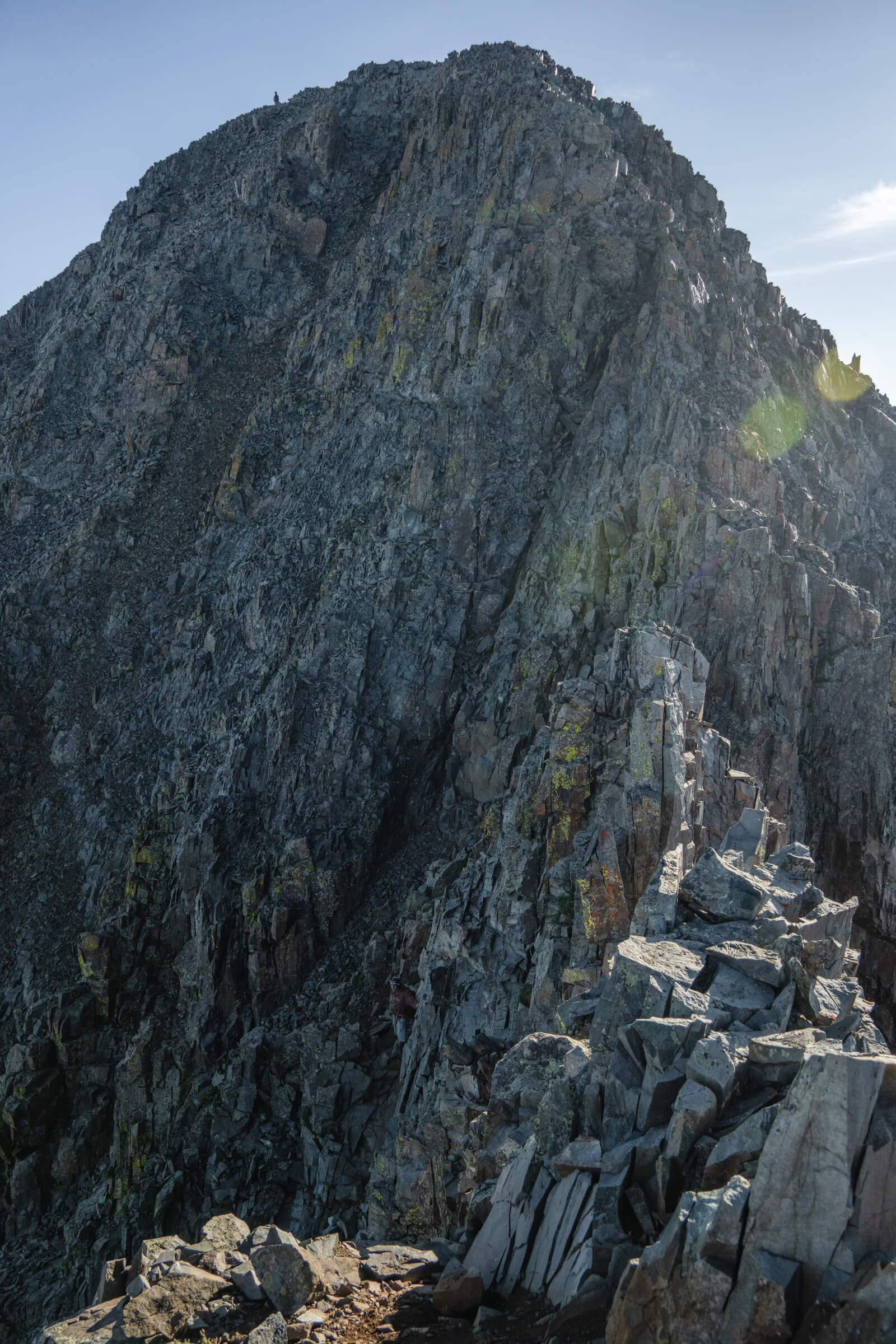
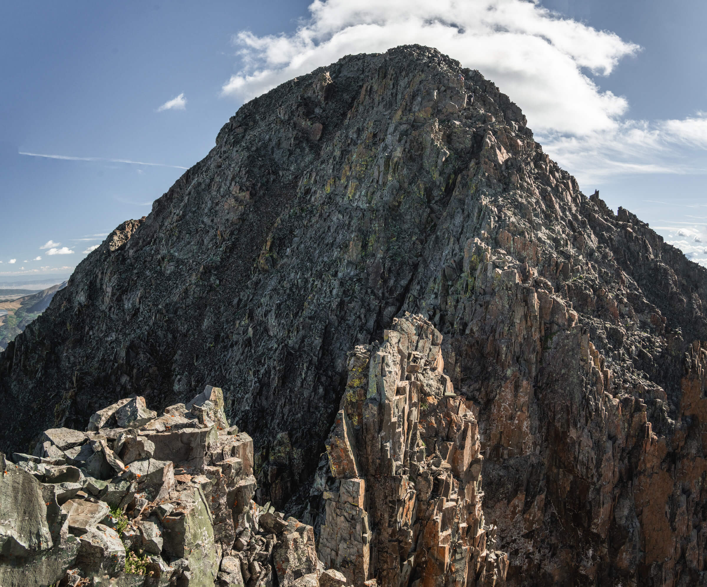
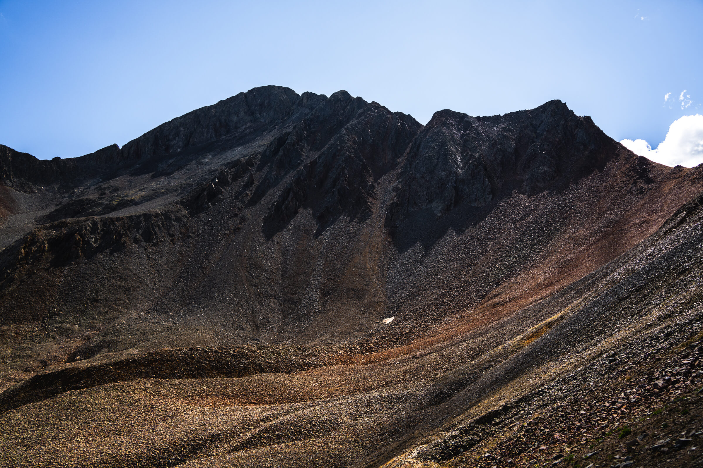
The “gully” everyone talks about begins around 13,000 feet and definitely feels more like class three terrain.
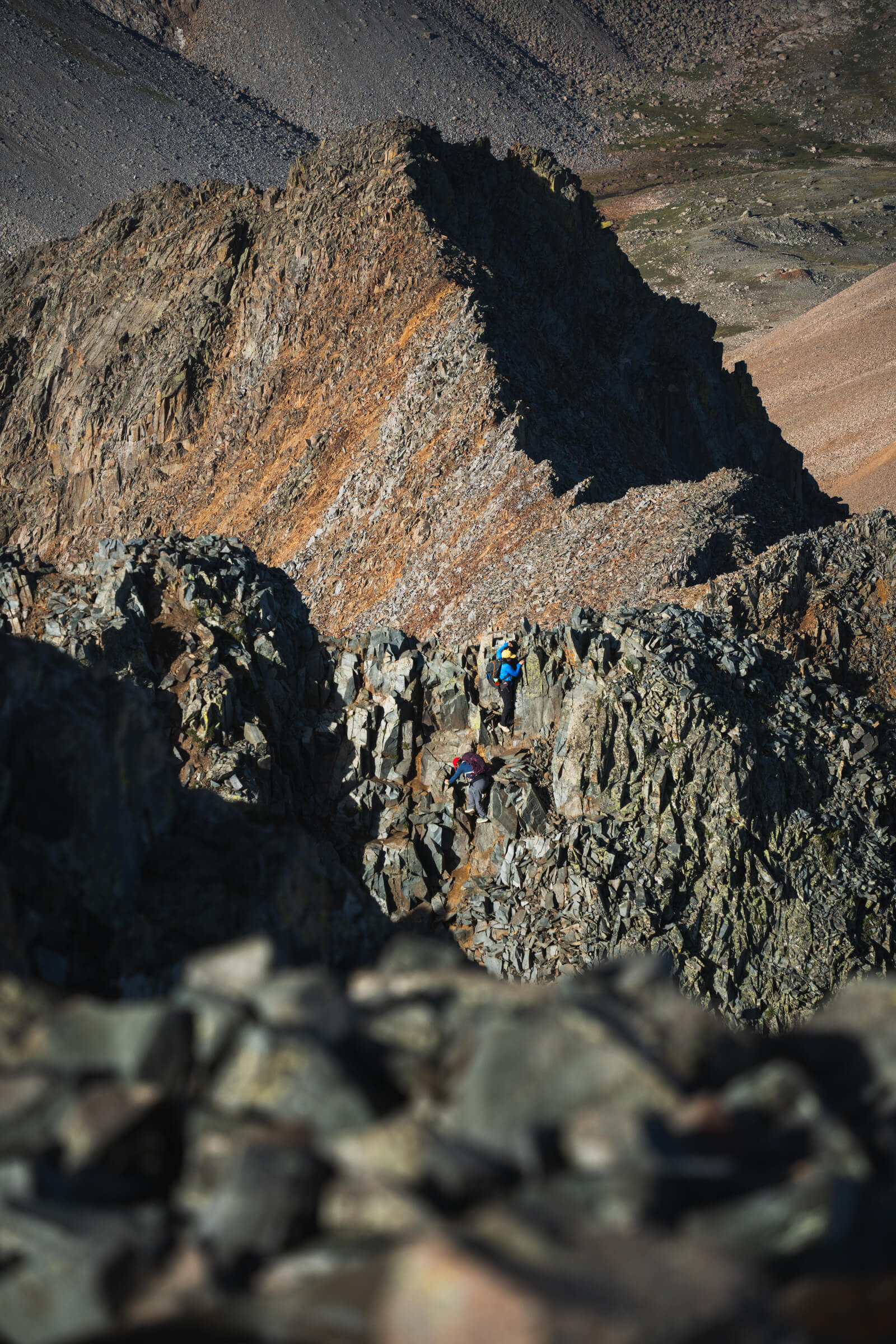
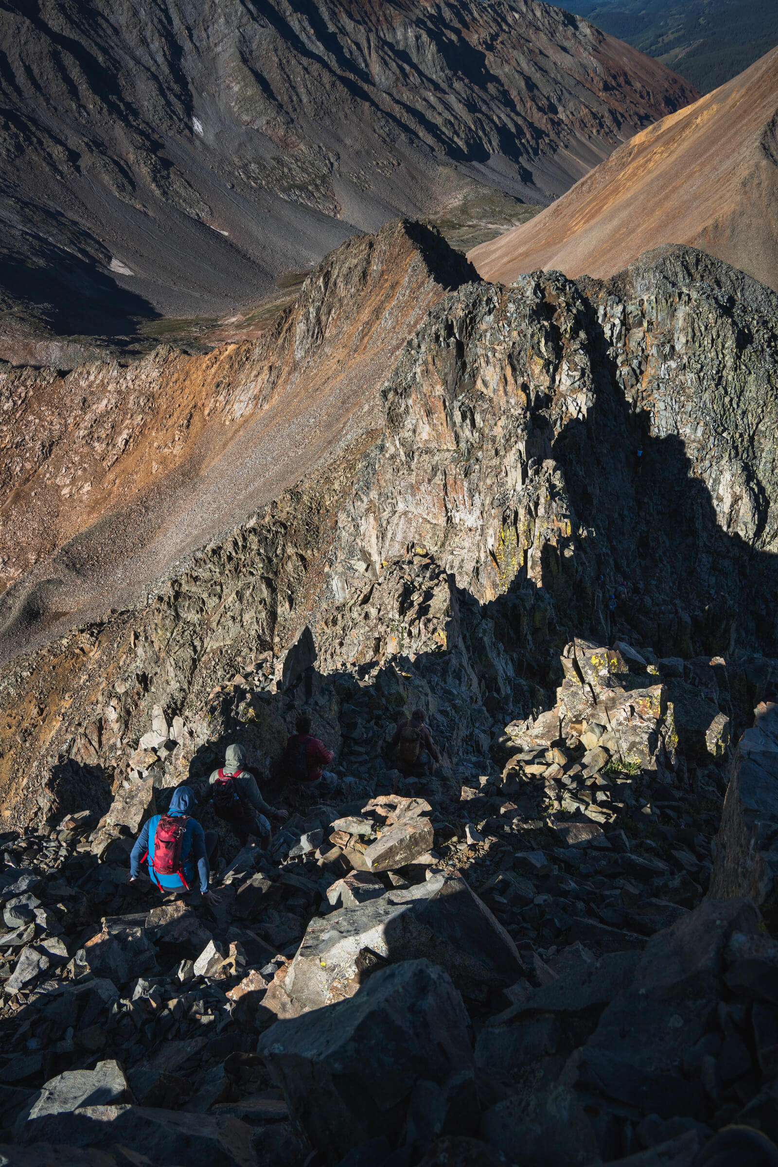
It’s steeper with looser, bigger rocks and requires some careful foot in hand placements. On the way up, climbers right seemed to be a bit safer, and on the way down hugging the left side (skiers left) felt better to me. You follow the gully all the way to the top and then make a left into the famous “notch” move.
The drive up Yaknkee Boy Basin Raod. The entire drive up is gorgeous.
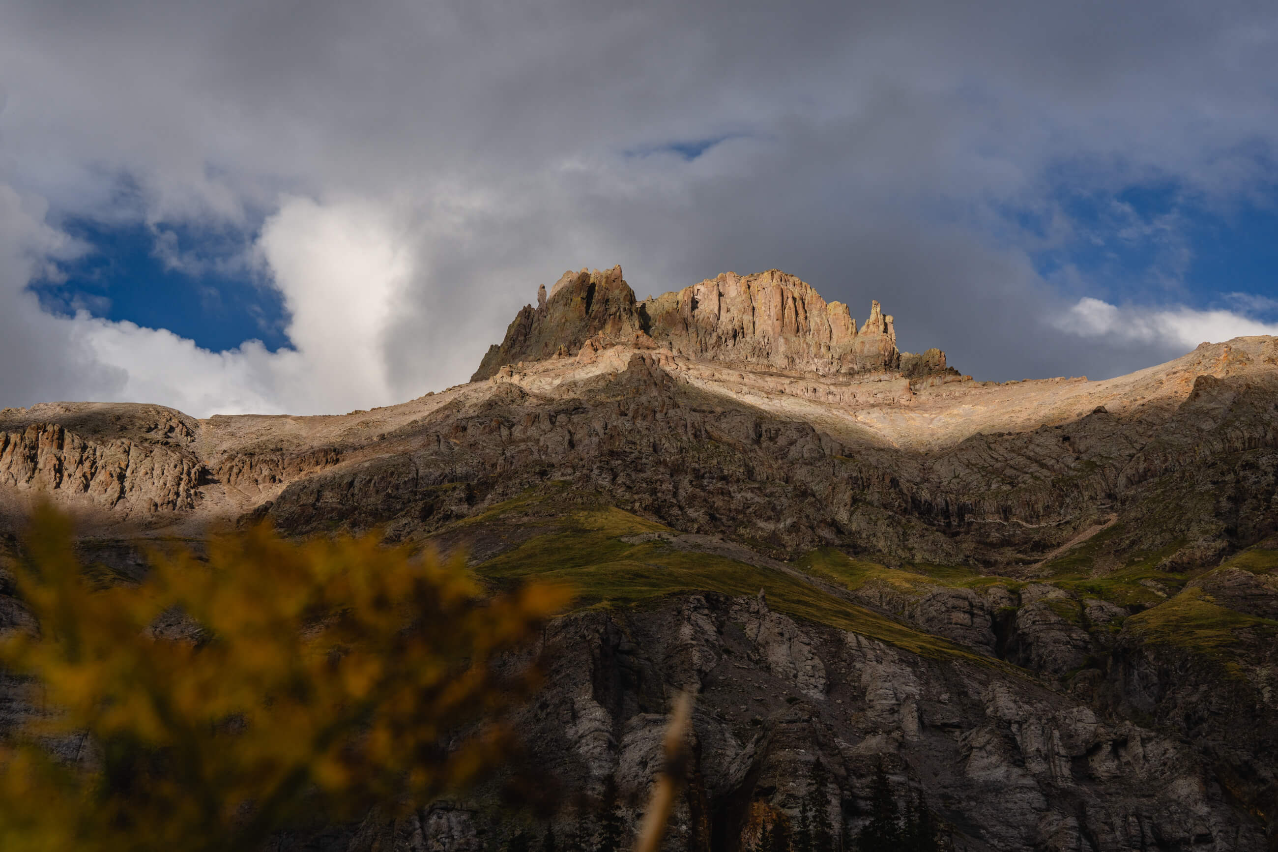
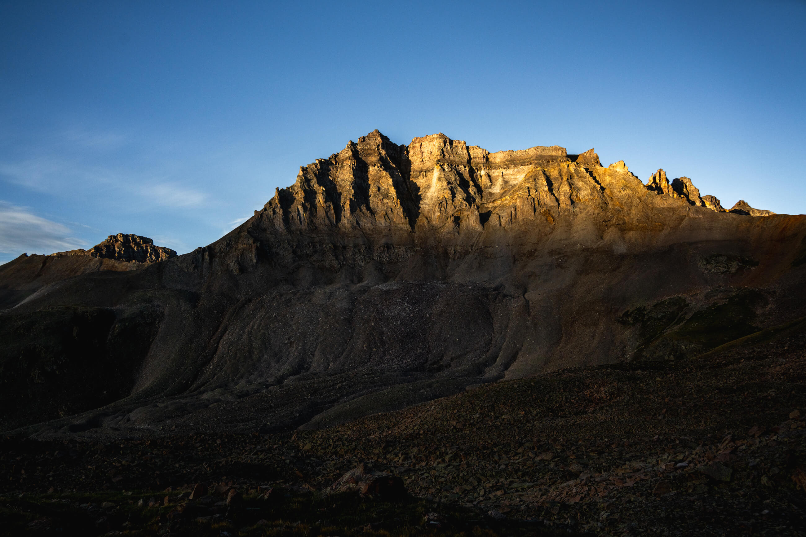
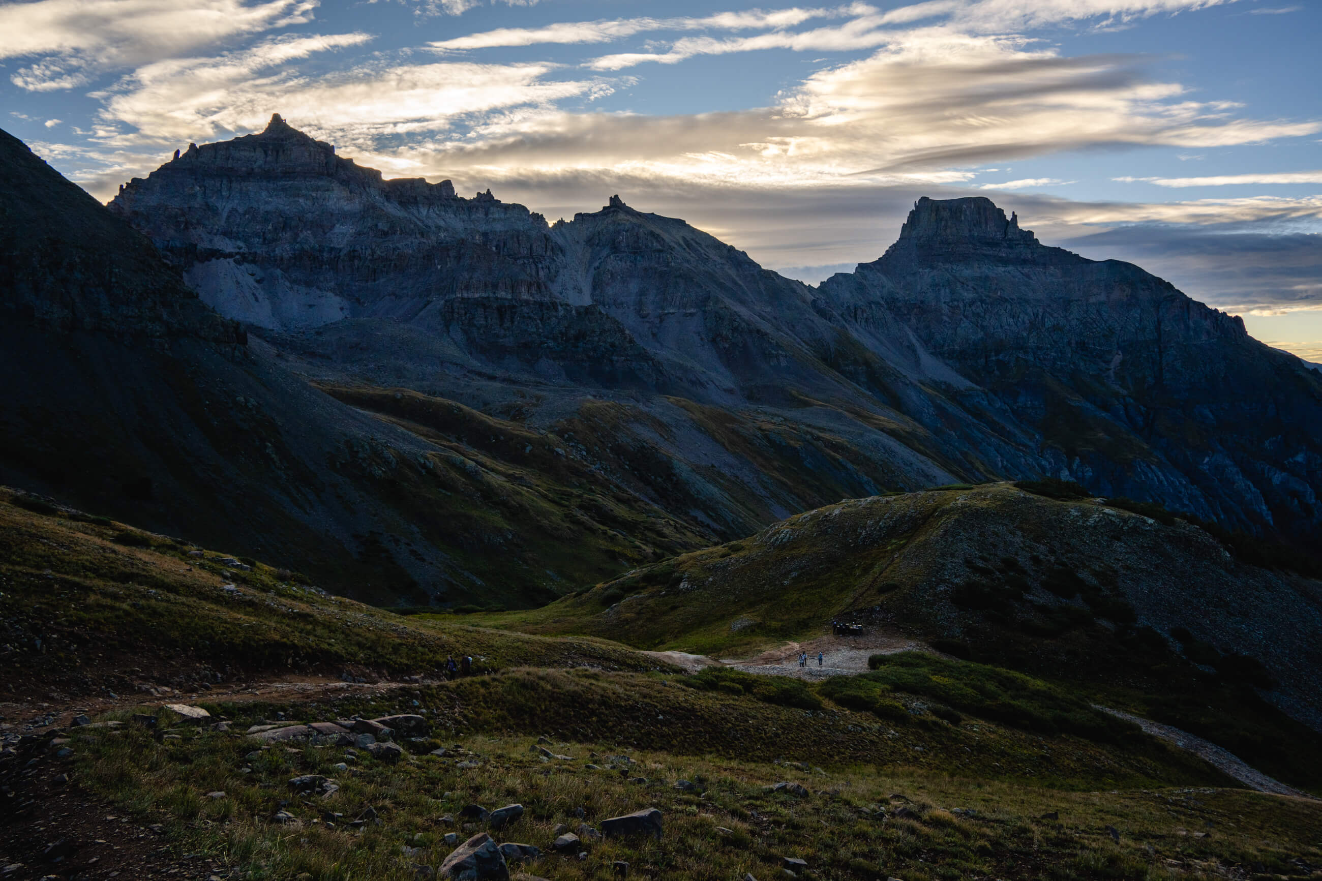
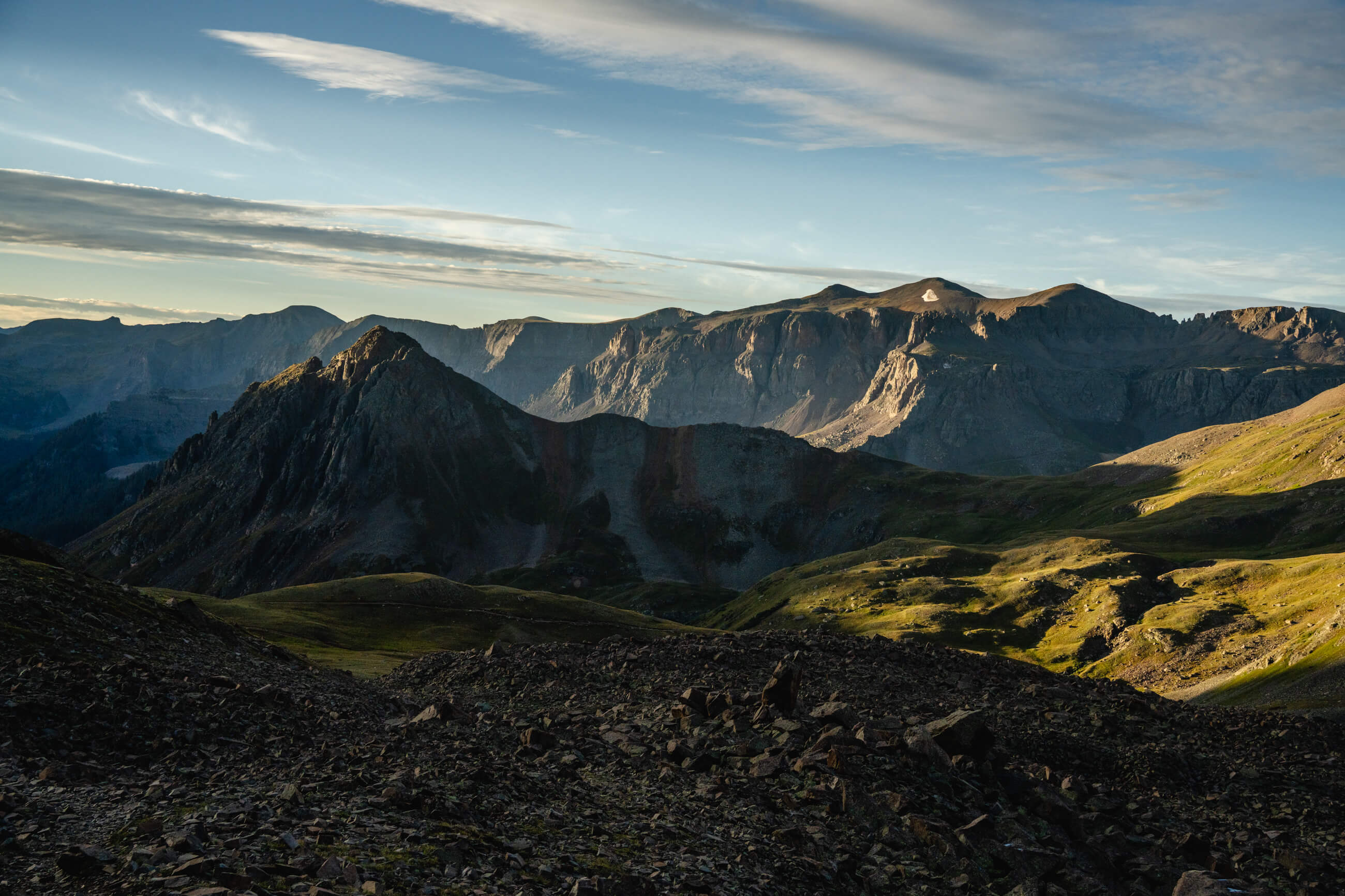
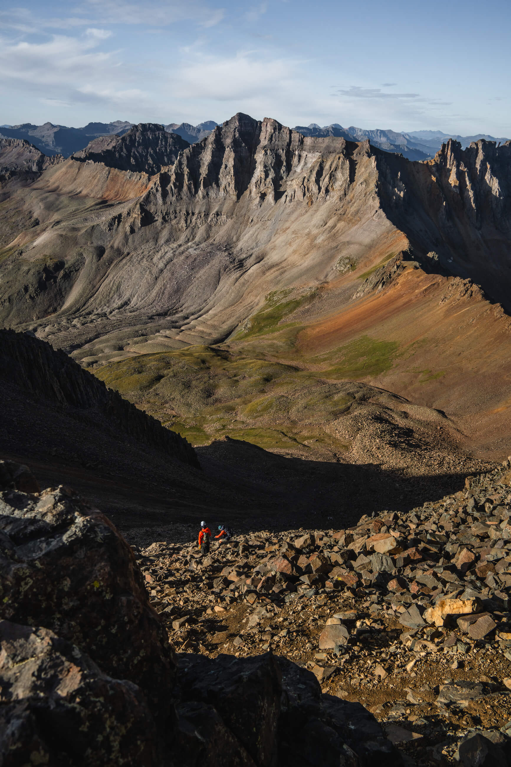
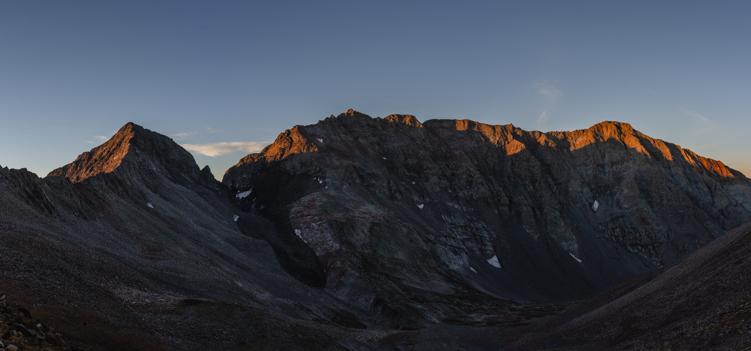
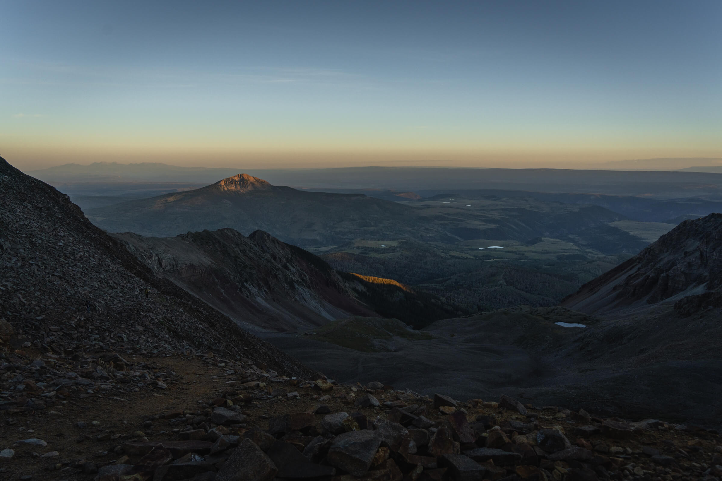
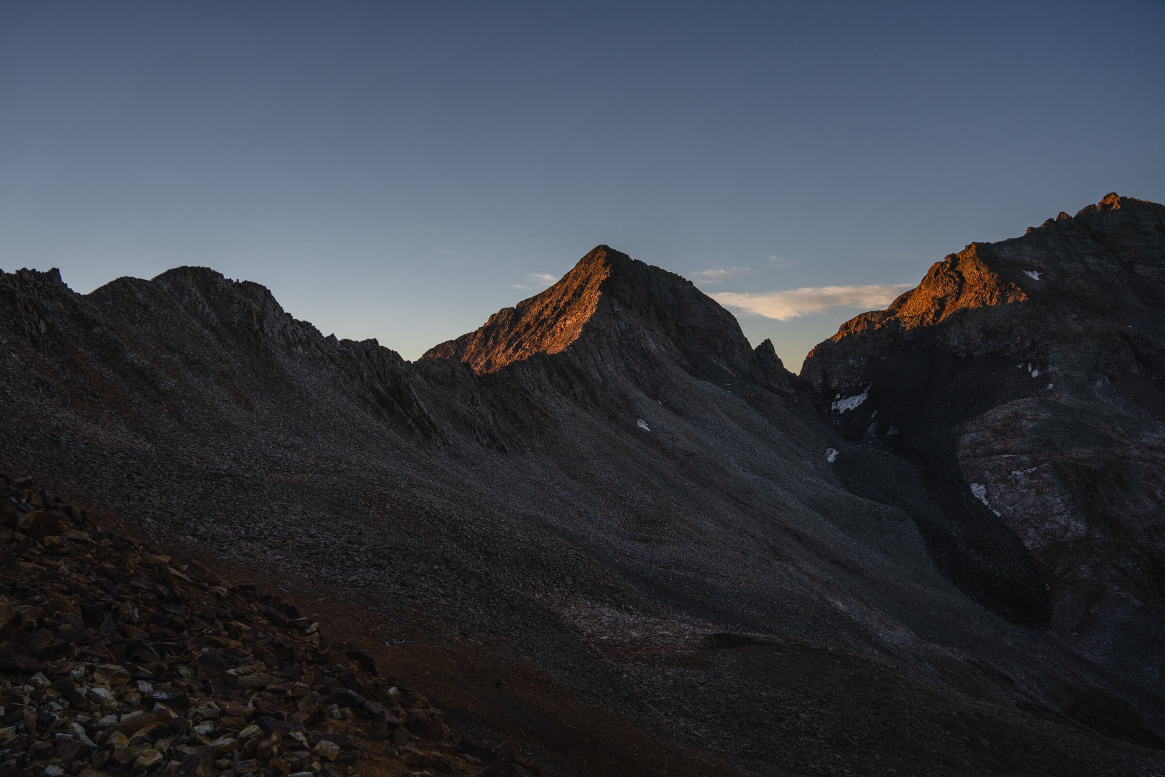
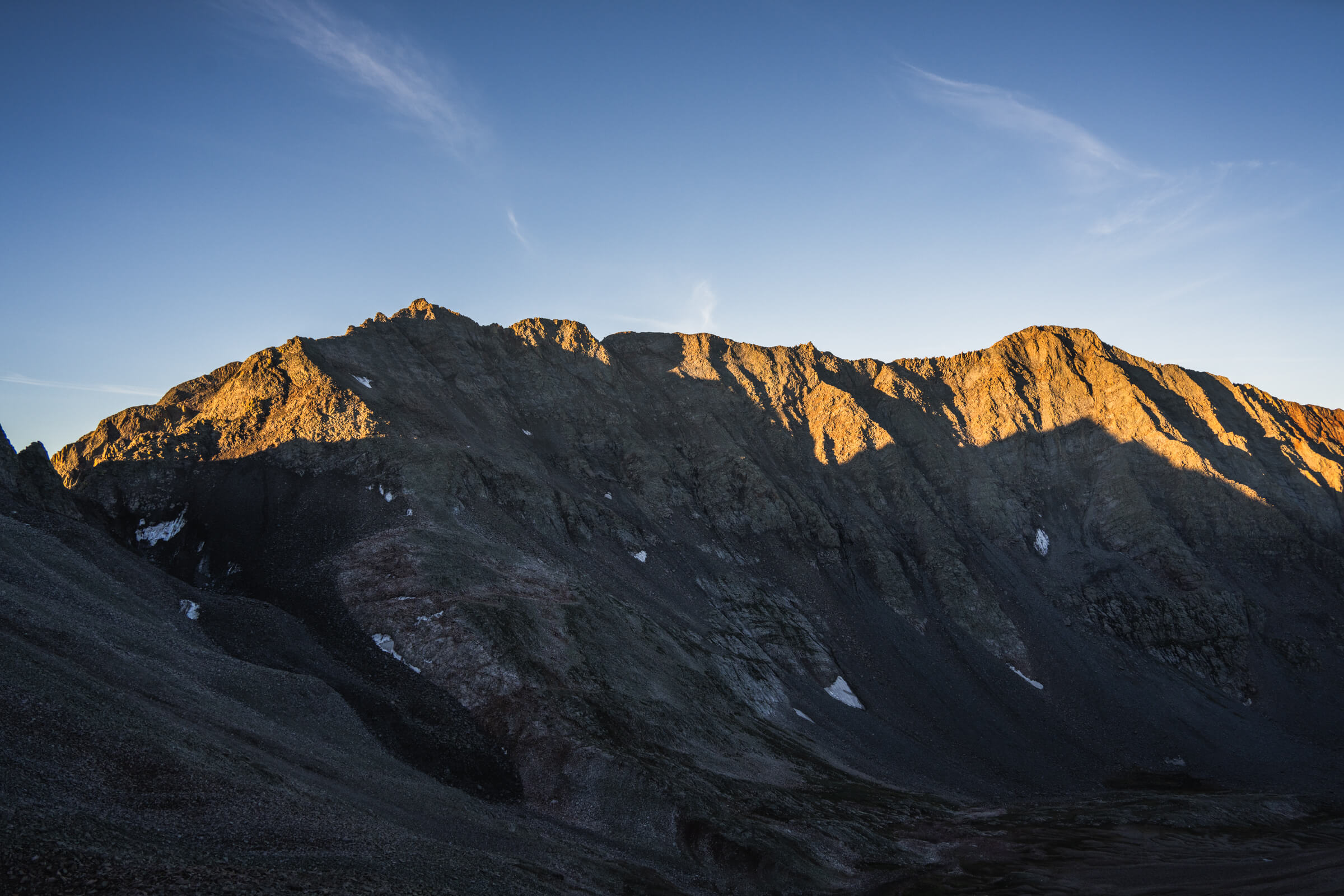
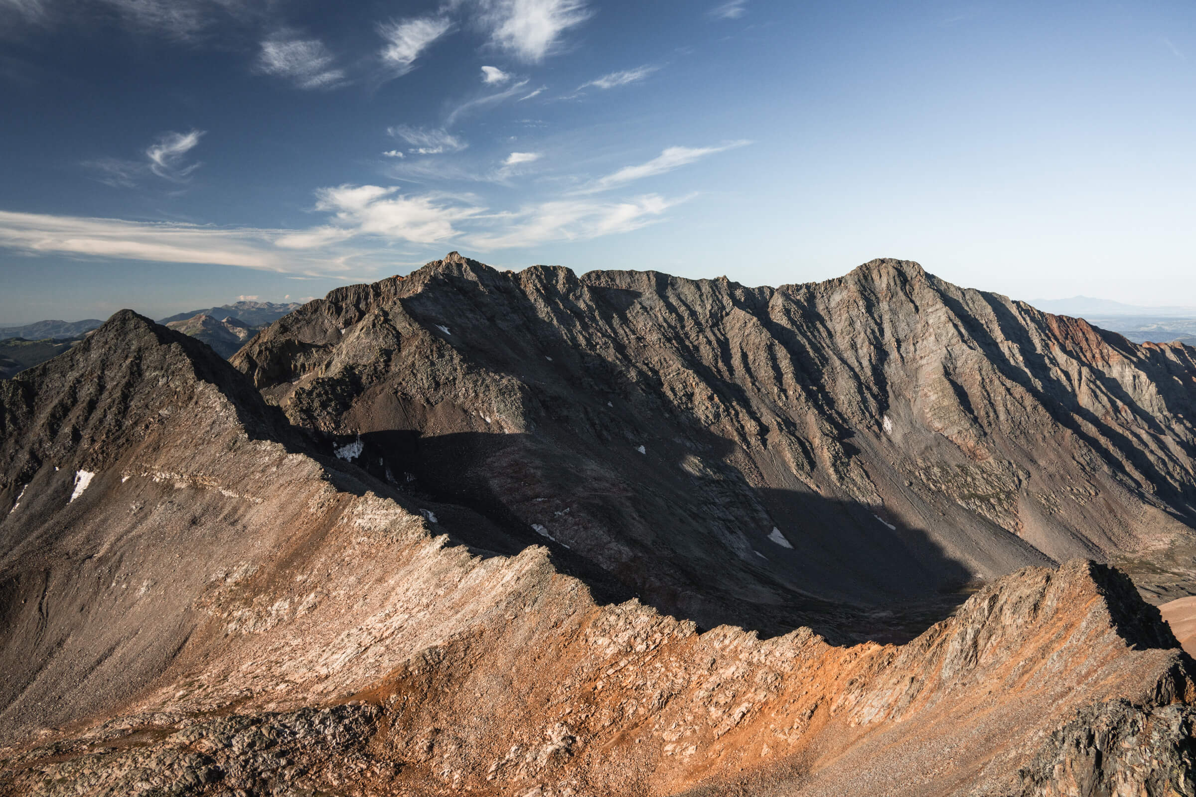
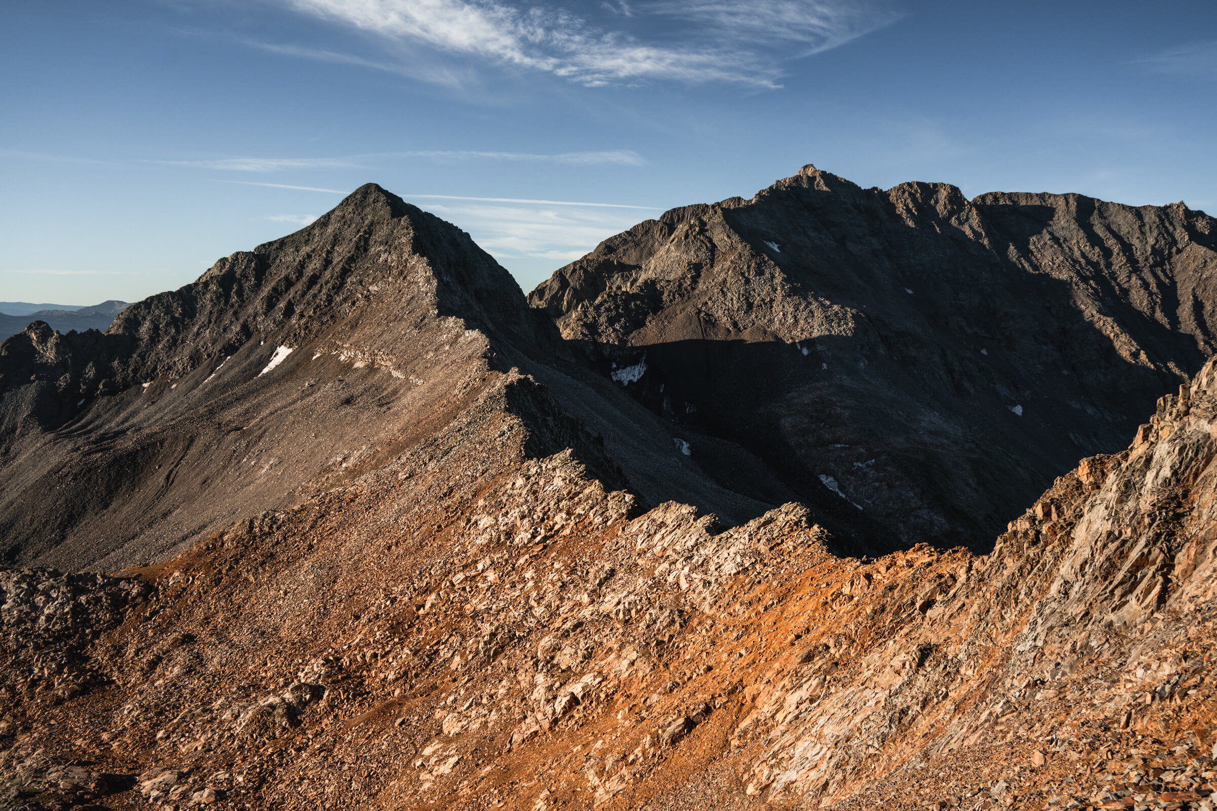
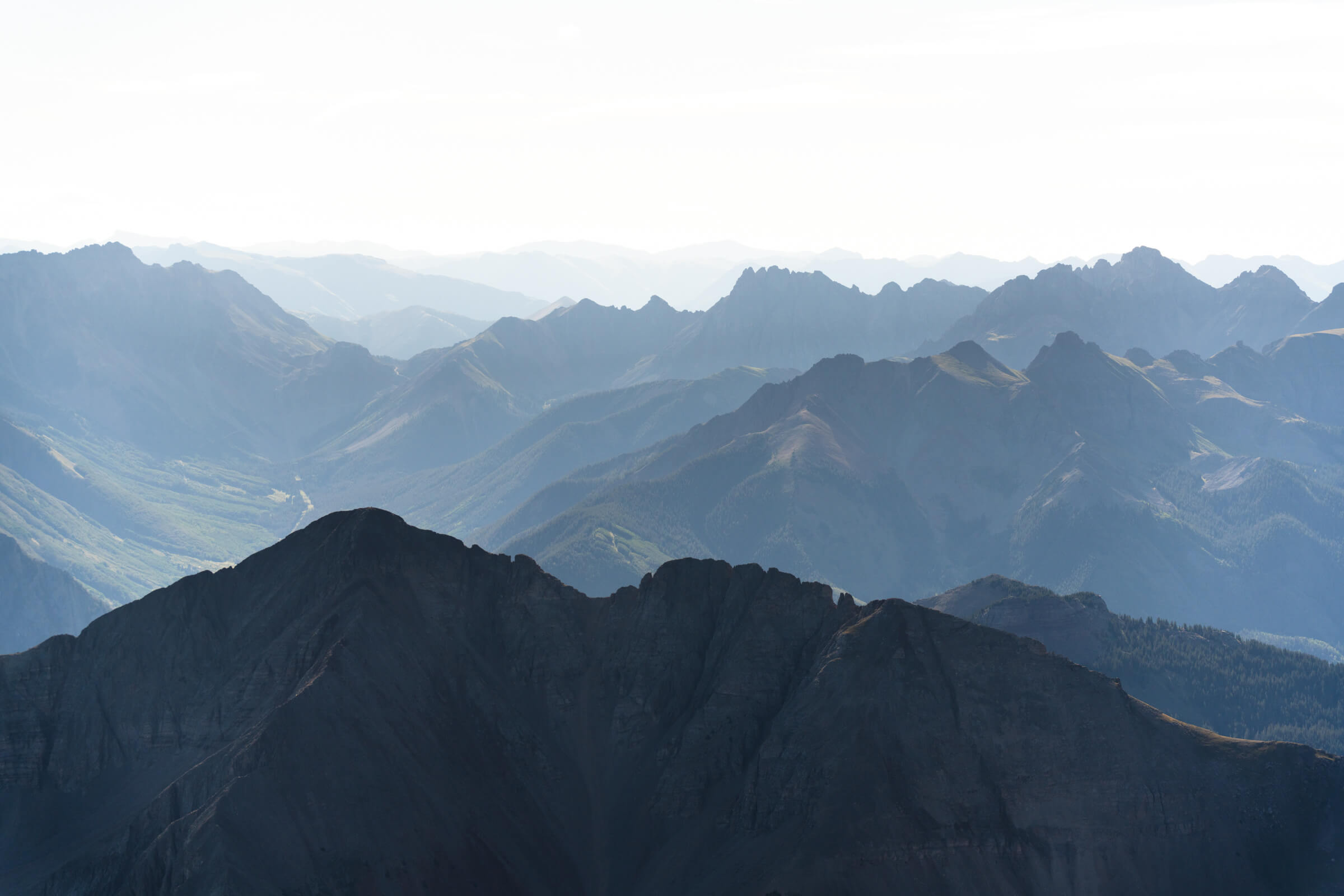
Gilpin Peak above Blue Lakes (image 1 & 2), views from the early morning hike up to the gully (images 3 & 4)
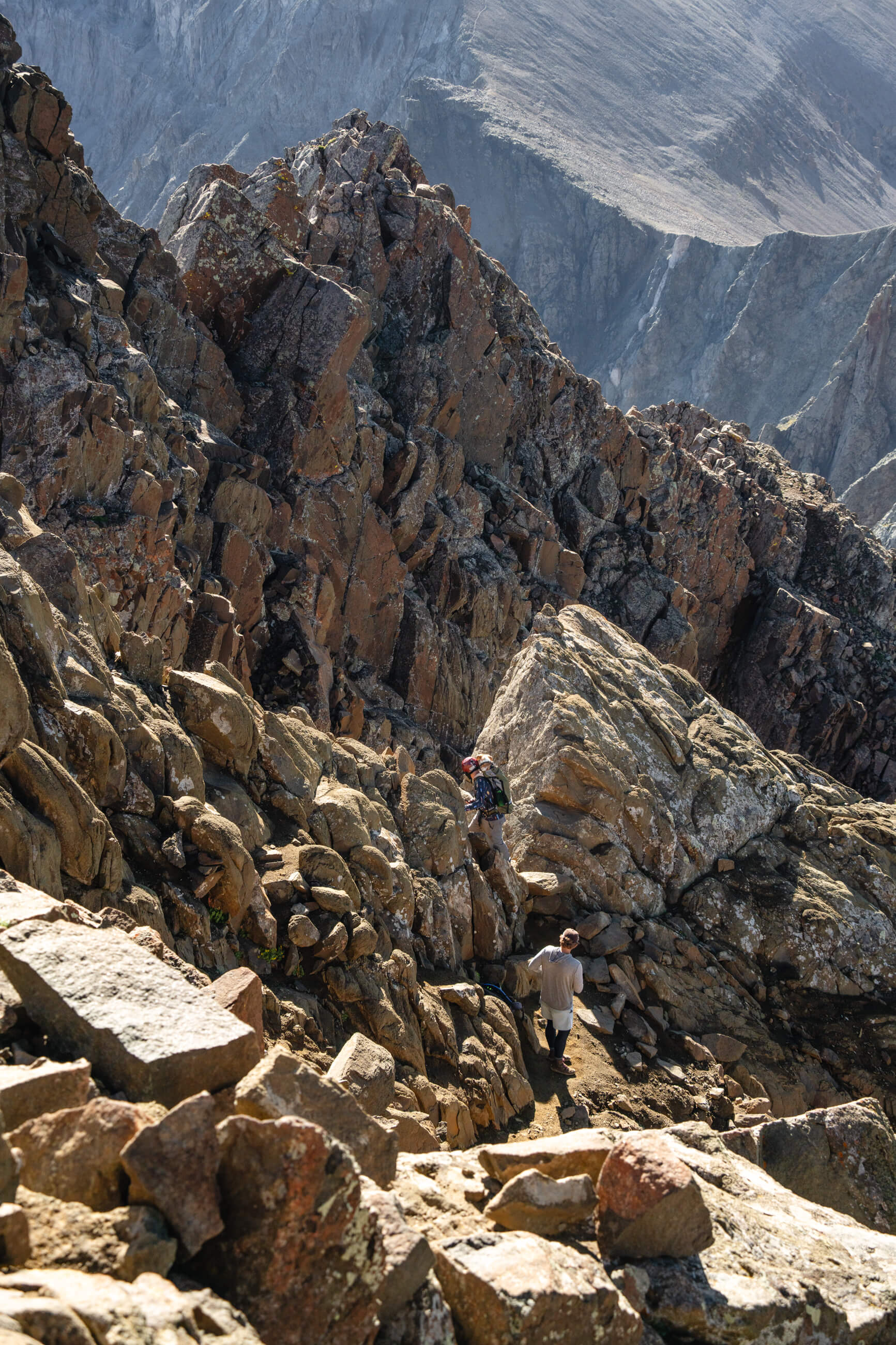
The notch honestly is a bit sketch. There are handholds just above the bottom of the notch so you can pull yourself up and through a bit awkwardly.
It’s pretty easy but the sketch factor is it’s super exposed to the left, so no margin for error. On the way down someone gave me some good advice to climb around the notch. Coming down on the left there is a crack that you can wedge yourself into and there are great hand and foot holds here. It’s definitely more of a climbing move but feels way more secure. You could do this on the way up too, but definitely would recommend on the way down. 
The "notch" move is at the base of the "V" shaped gap, the crack on the right side is a much more safe and secure option I thought (image 1), the view from the base of the gully (image 2), summit views on top of Mount Sneffels (images 3 & 4)
After the notch, there are a couple steep ledges and you’re basically right at the summit of Mount Sneffels.
It was a pretty busy day up there and it’s clear why it’s such a popular one… it’s absolutely gorgeous. The San Juan’s might be my favorite corner of Colorado.

The other option from Yankee Boy Basin is to climb the class three ridge on the southwest side. I hear it is a little more exposed, but you have a lot better rock and don’t have to deal with the shitty kittie litter in the gully. In retrospect that may have been the move. I will try that one next time. It was a short 4.5 hour hike and I was back in Ouray at 11:30am for lunch.
Hikers with Gilpin Peak in the background at sunrise
Gilpin Peak from the summit of Mount Sneffels (image 1), hikers descending the gully (image 2), hikers about to go down through the "notch" shot from the summit (image 3)
Getting from Ouray over to the Rock of Ages Trailhead for Wilson Peak is only about a 1.25 hour drive over Colorado Road 62. You pass through Placerville before hopping on to another dirt road out to the mountain trail head.
The Rock of Ages trailhead is accessible from in between Placerville and Telluride and is about a 30 minute drive down a dirt road, the first 2/3 of which is super mellow. Only the last bit has a small creek crossing and some bumps but could be easily doable in a Subaru or small SUV.
View from the saddle at sunrise. Gladstone Peak (13,919 ft) is all the way to the left. Mount Wilson is in the middle and El Diente is all the way to the right, with the famous traverse connecting them.
I reached the trailhead around 4:30 PM on Saturday and hung out for the evening. It wasn’t nearly as busy as Sneffels.
Wilson Peak is a medium length hike from here at 3,800 feet over 9.5 miles. I started up the trail at 4 AM. The first 3.5 miles of the trail is a pretty boring old mining road and until you reach a couple switchbacks that bring you up to the saddle. Distance-wise it’s only about a mile to the summit from here but given the terrain it takes just as long as the first 3.5 miles. From the saddle you get your first views of Mount Wilson and El Diente Peak across the valley and the famous ridgeline traverse that connects them. 
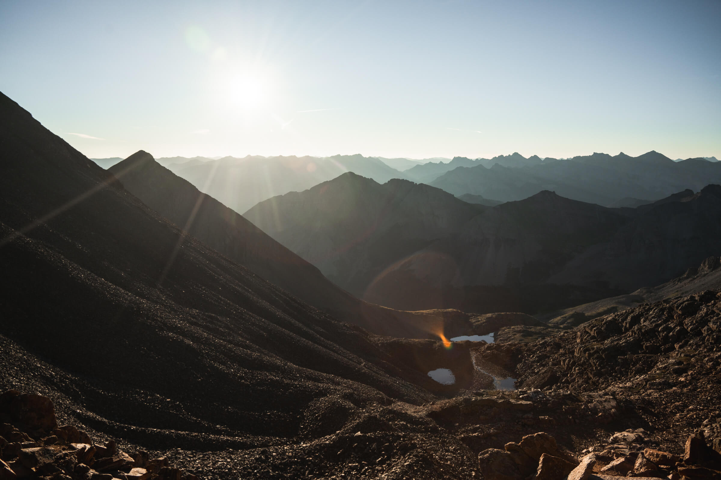
Views back over the valley from the switchbacks (image 1), Gladstone Peak at sunrise (image 2)
The Mount Wilson to El Diente Traverse (images 1 & 2), Gladstone Peak and Mount Wilson (image 3), the first view of the ridgeline up to the false summit of Wilson Peak (image 4)
You bear left at the first saddle to reach the back of the Wilson Peak ridgeline. Here you can start to make out a faint trail just below the ridgeline up to the false summit. Getting onto this trail you have to traverse over some steep ledges and I found this to be the sketchiest and hardest route finding of the day.

I think I was a bit below the actual trail but eventually a cairn presented itself and I made my way up towards the ridge. Once on the trail it’s pretty easy to follow all the way to the false summit and it is well defined and does not exceed class two. 
There is a small scramble up to the false summit where you get the first view of the down climb, the gash, and the climb up to the true summit.  
It’s only about 15 minutes from the false summit to the true summit and it looks way worse from the false summit than it actually is. You first climb down about 50 feet and just before the gash in the rock you ascend back up to the true summit. It really isn’t nearly as bad as the photos on 14ers.com look, but they are super helpful for the route finding here. It doesn’t exceed class three and there is a crack you can climb in for some protection.

Once above the gash I would recommend going straight up and over to the summit (even though it looks steeper), not traversing around the ledges to climbers right. I did this on the way up and it felt pretty airy beneath me.
Standing on the false summit looking at the downclimb and then the climb back up to the summit. You can see a climber at the bottom of the downclimb just before the "gash".
A view of the "gash" and the true summit from the false summit (image 1), climbers descending from the false summit shot from the true summit (image 2), climbers descending from the summit (image 3), view from the ridgeline traverse (image 4)
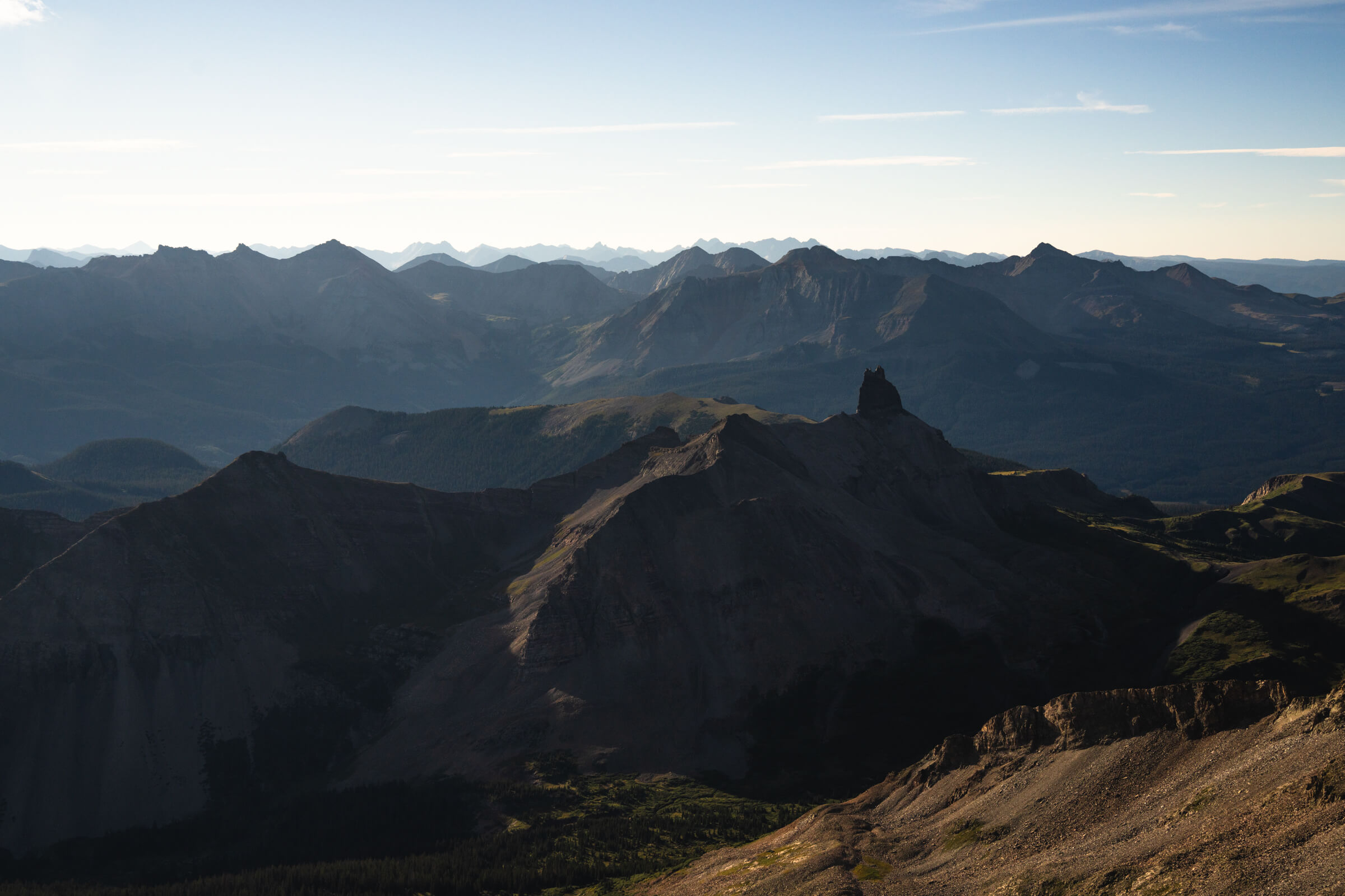
There was a little party at the summit, another beautiful weather day in the San Juans and a great view of Lizard Head Wilderness.
Way off in the distance you could make out Sneffels, Uncompahgre, and Wetterhorn. I spent about 40 minutes at the top.

On the descent, I opted to traverse low on those ledges just before the saddle and ended up down in this gully that I had to ascend back out of. I couldn’t really find the same trail. The other option is to traverse high with some exposure in a couple tricky rock maneuvers. I tried to avoid this and probably made it worse for myself. 

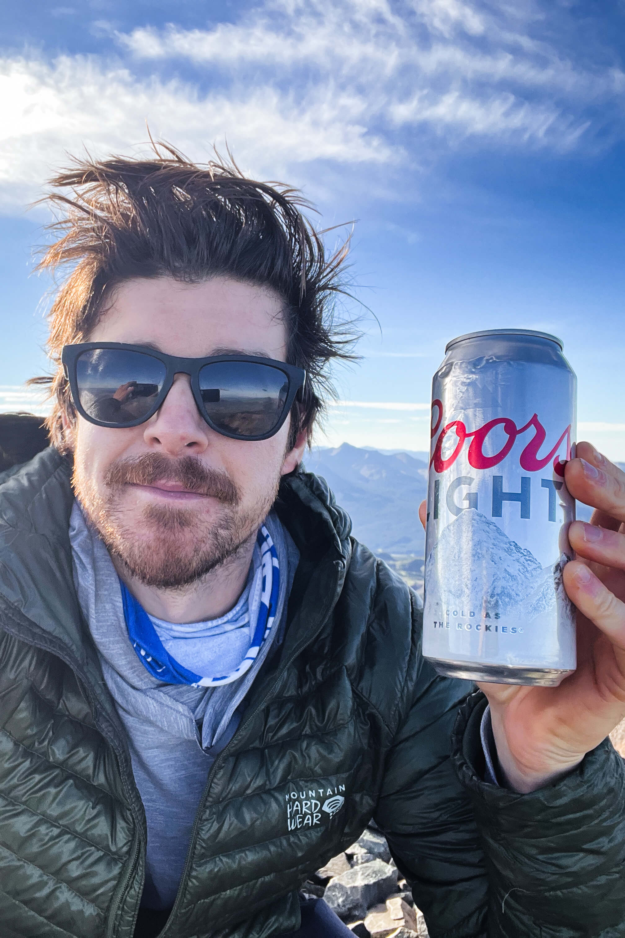
There are a couple forks in the trail and on the way out I accidentally took a little detour down the wrong mining road. Oops. Wilson Peak was particularly exciting for me because it is the mountain depicted on the Coors Light can (my favorite beer) and therefore probably one of the most printed and famous mountains in the states. 
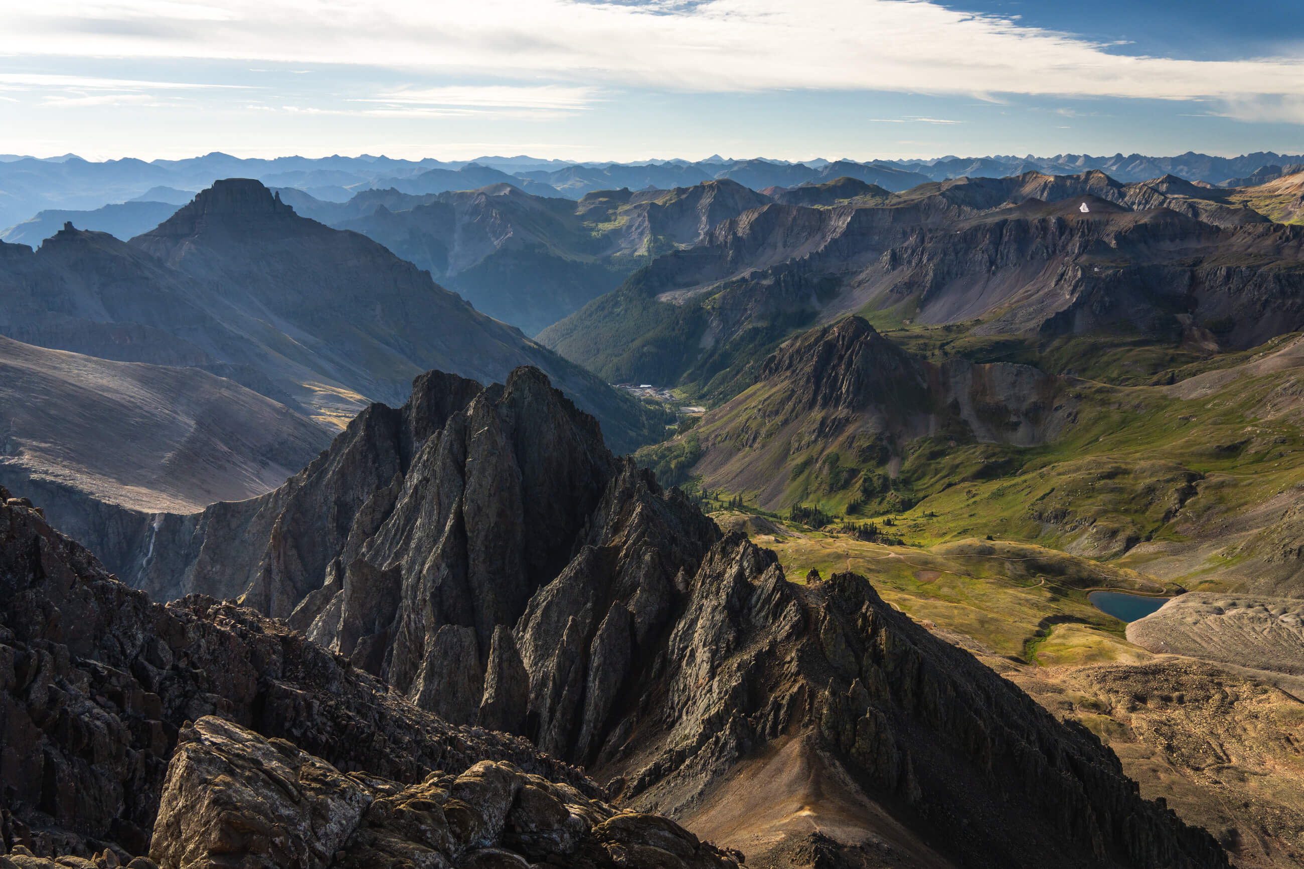
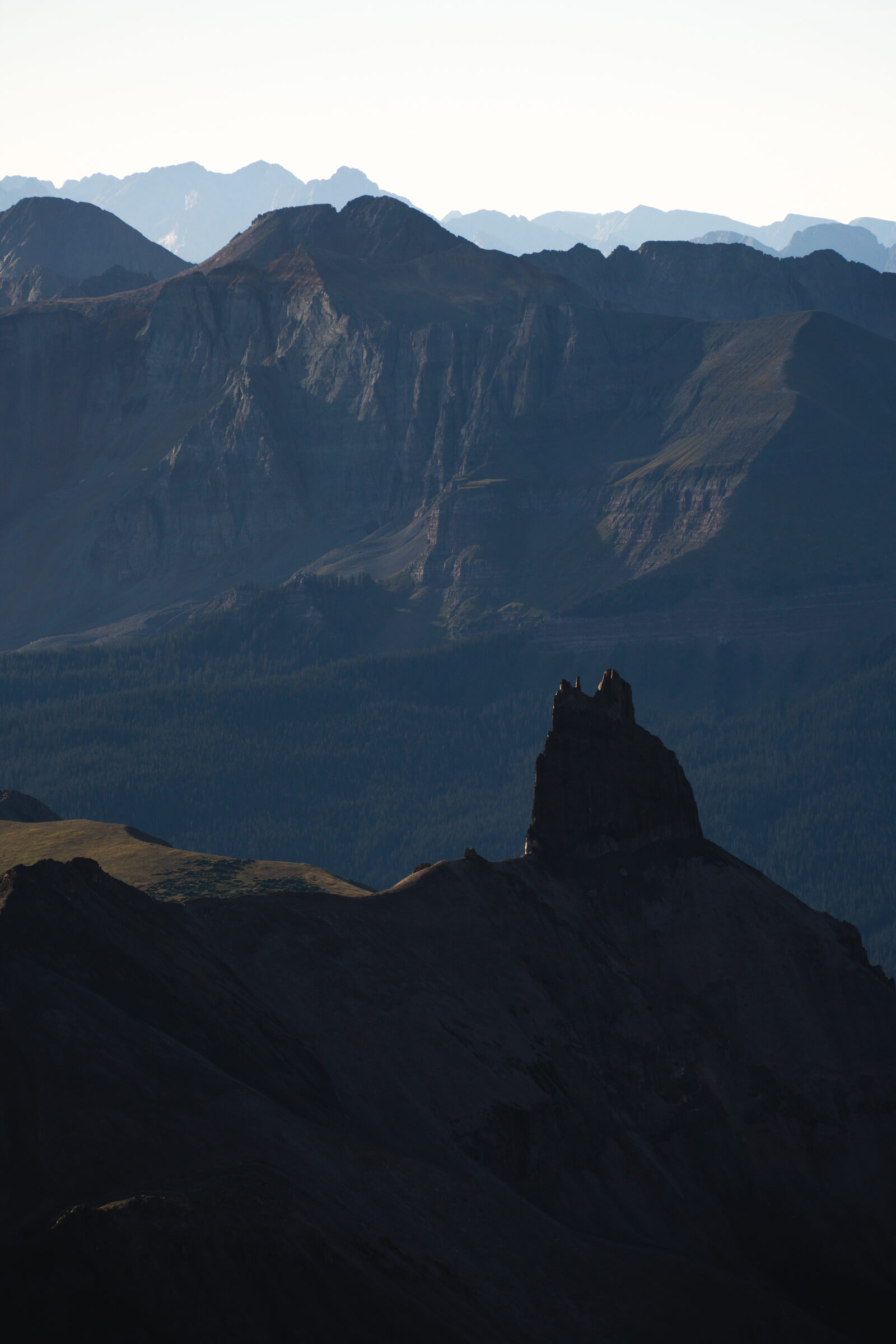
Lizard Head seen from the summit of Wilson Peak
Vista views from the summit of Wilson Peak of Lizard Head Wilderness (images 1, 2, 3), Wilson Peak ridgeline shot from the switchbacks, the summit is all the way to the left (image 4)