Mount Shasta -
Cascade Stratovolcano
Mount Shasta -
Cascade
Stratovolcano
California
May 5-6, 2026
After a few days waiting out the weather in Talkeetna for our initial plan to climb the Ham and Eggs route on the Moose’s Tooth, we decided to pull the plug and pivot to California.
We took a last-minute flight into Sacramento, picked up a rental car, and made our way toward Mount Shasta. Shasta is a 14,179 foot stratovolcano in northern California in the Cascade Range. It is California’s northernmost fourteener and is also the second-highest volcano in the contiguous U.S. after Mount Rainier.
Mount Shasta from the Bunny Flat Trailhead
The town is super cool, and we were able to rent a tent, stove, and avalanche gear from the local mountain shop and pick up our permits at the ranger station.
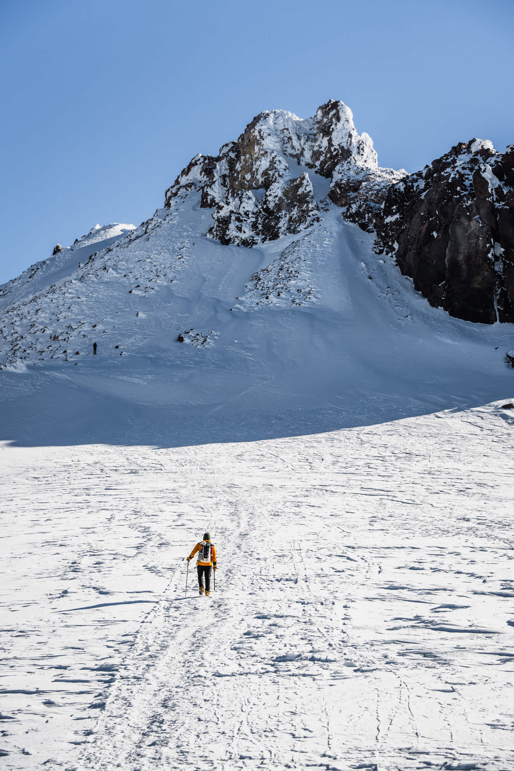
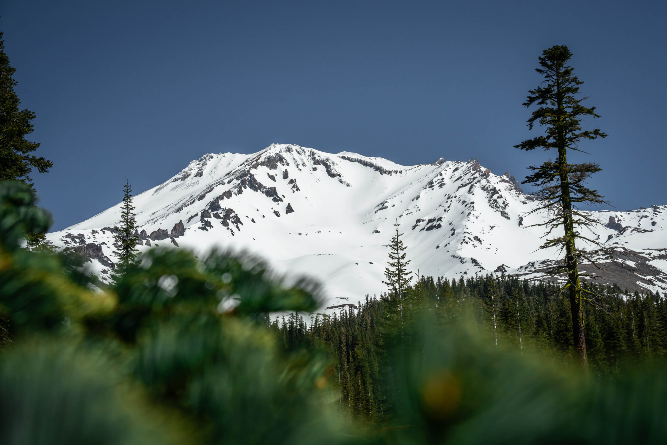
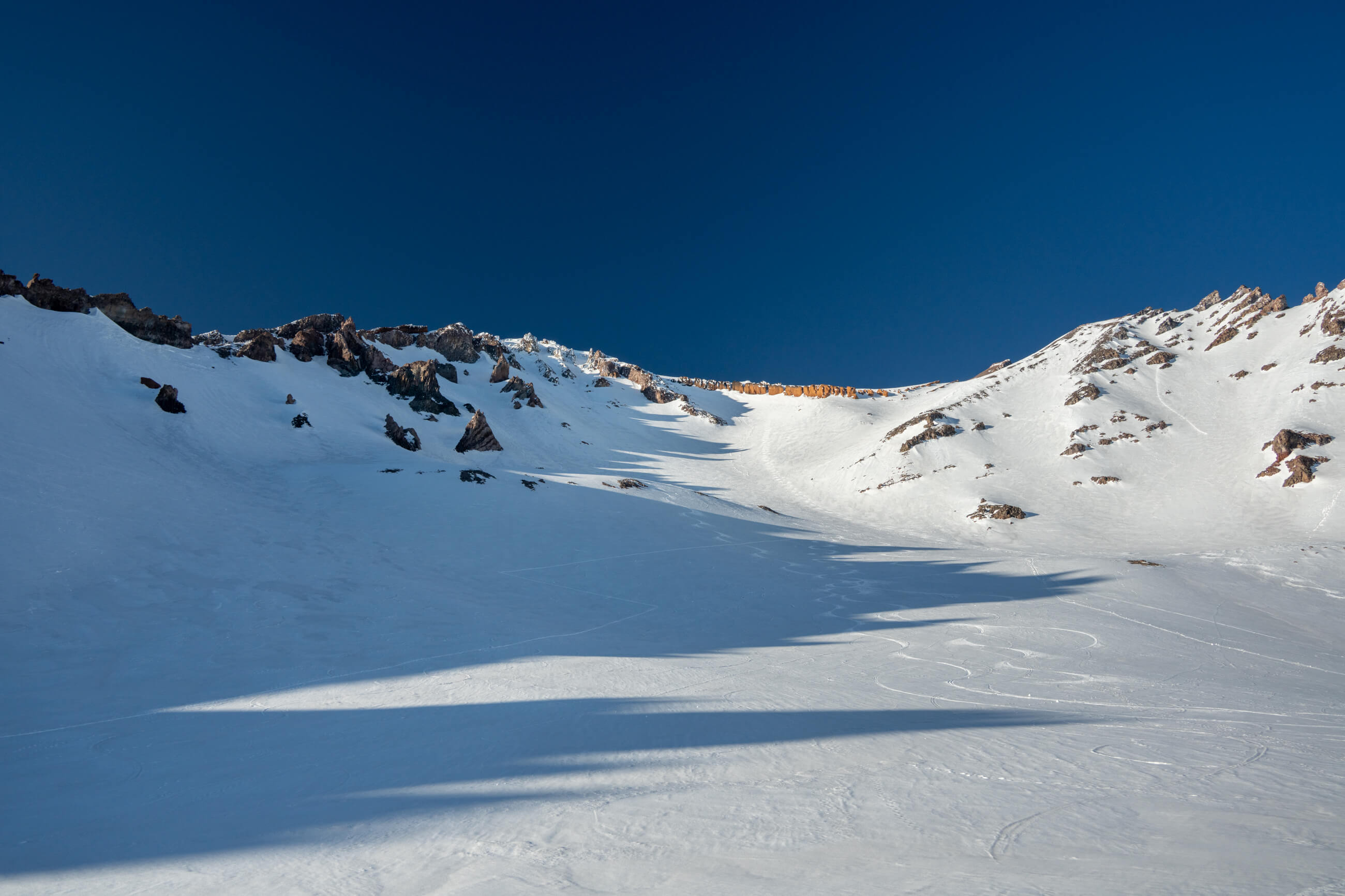
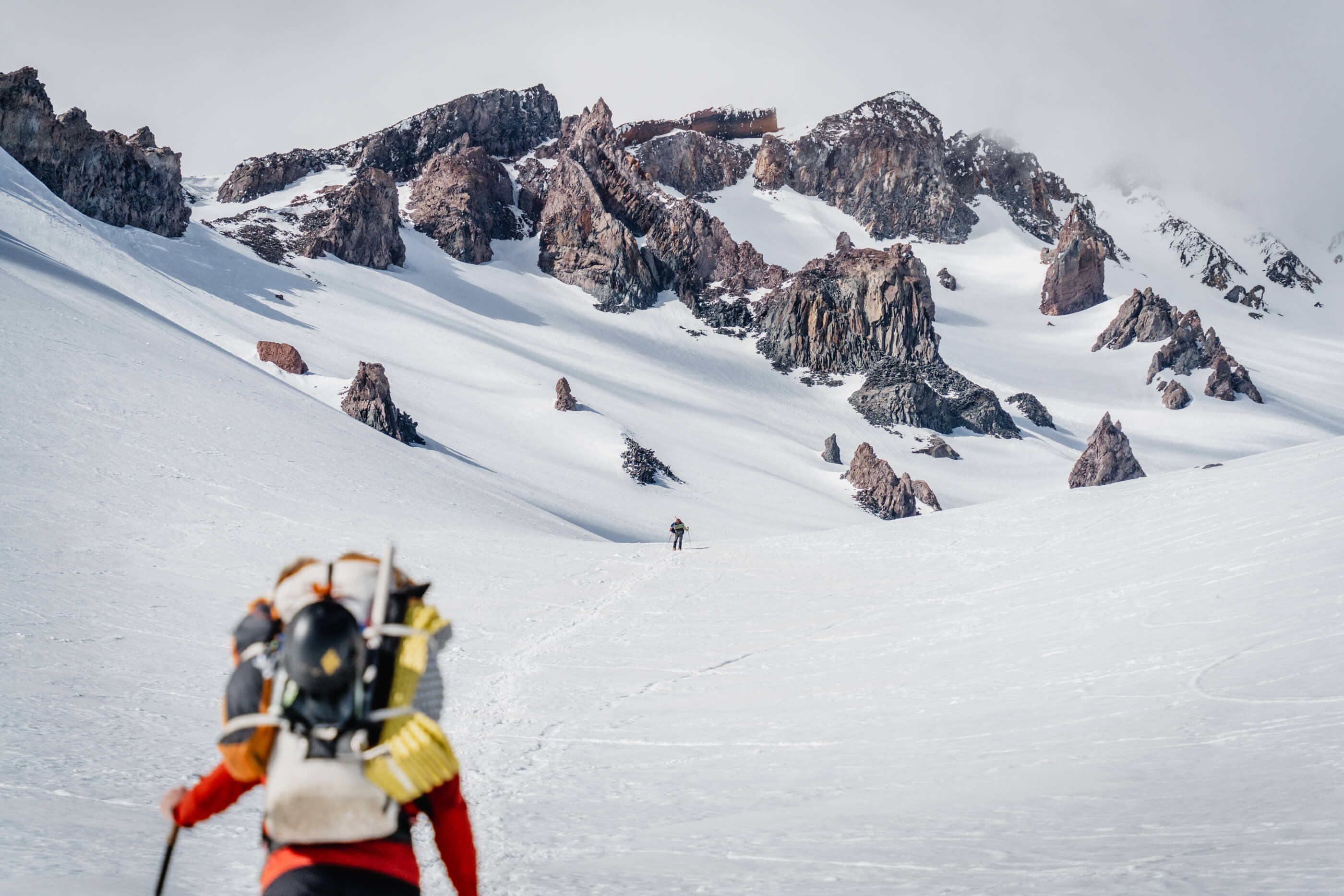
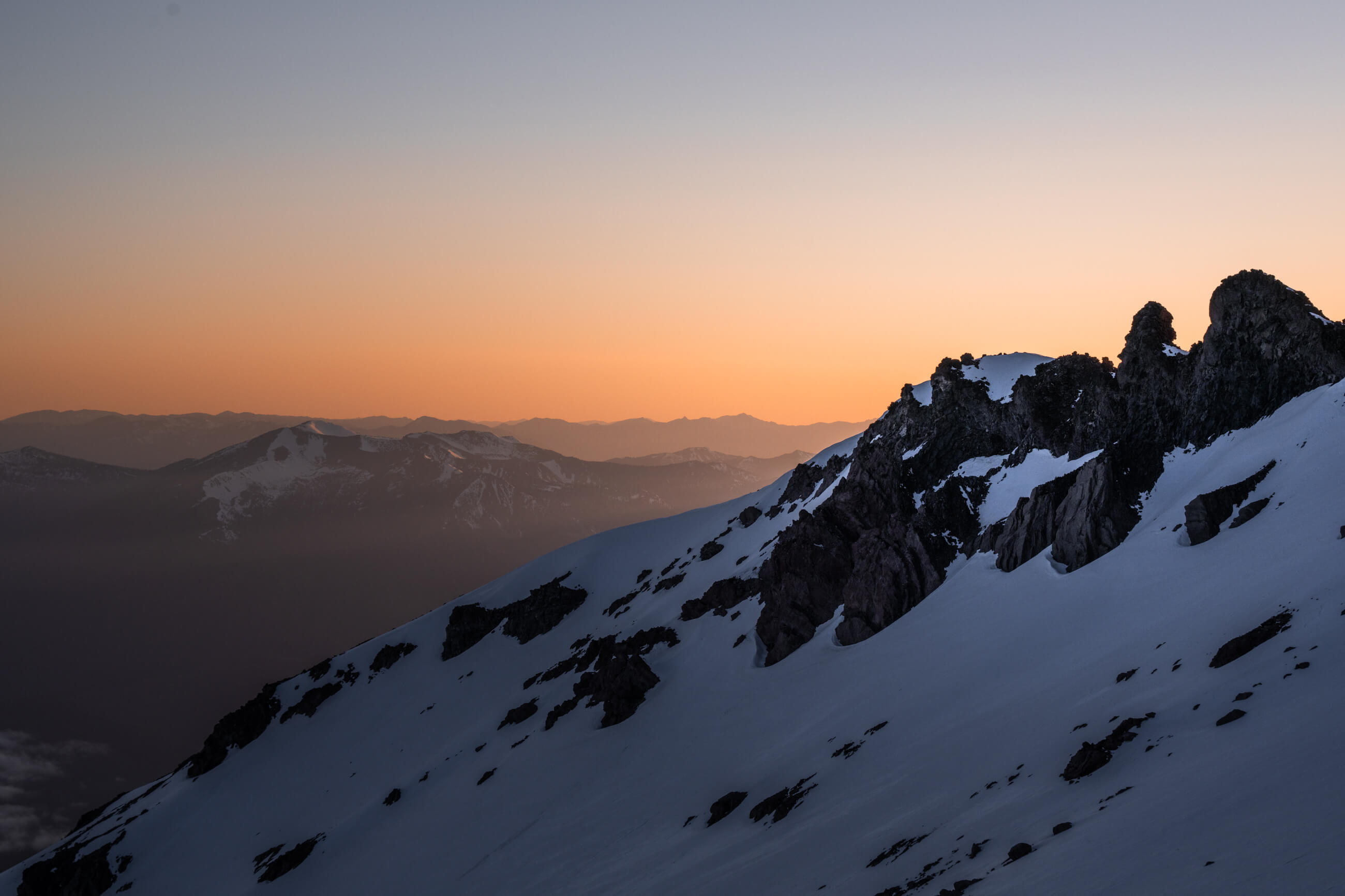
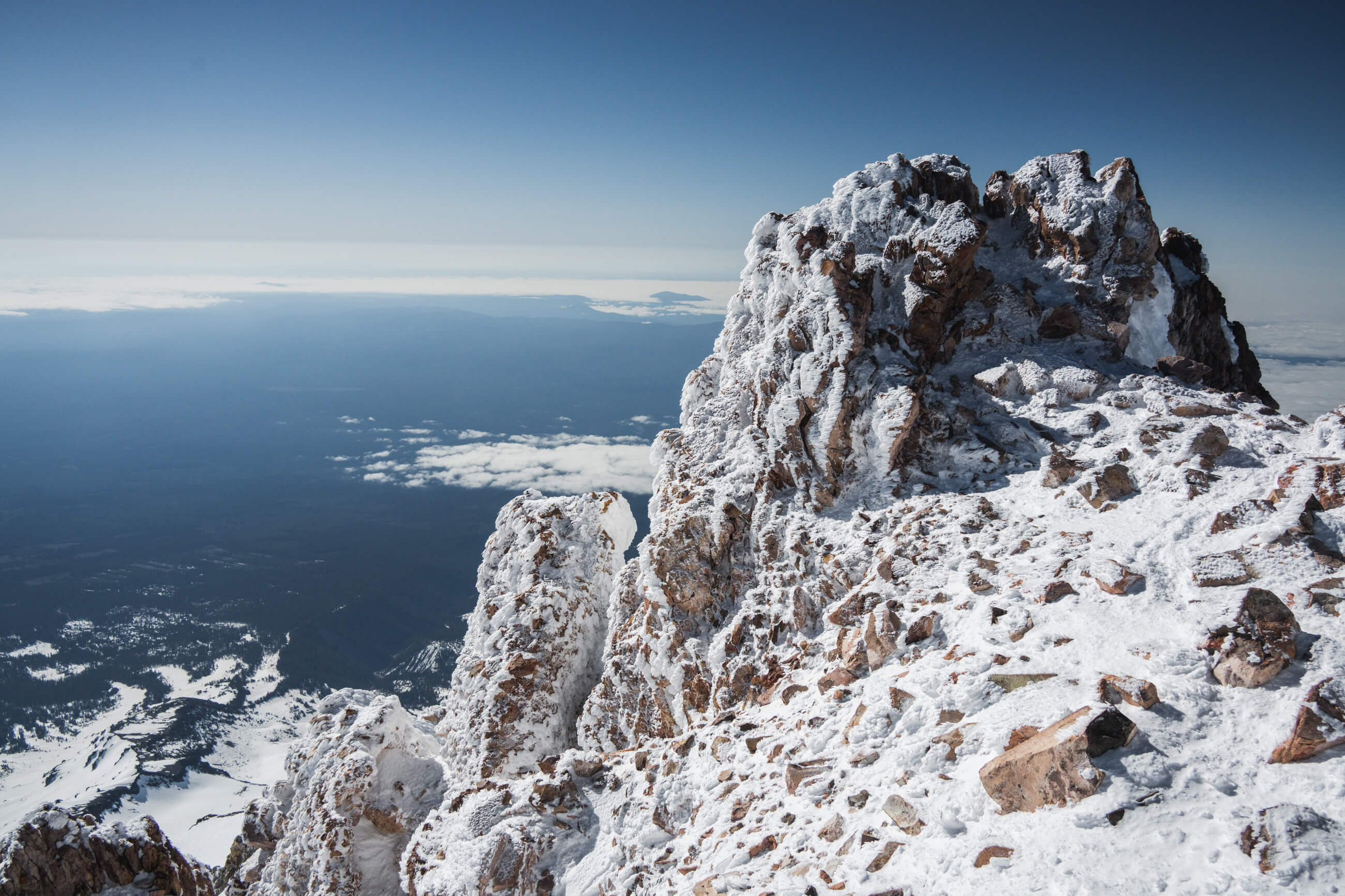
Shasta is an impressive mountain, towering over the town whenever it pokes out of the clouds. From town, you can see the route up Avalanche Gulch all the way to the ridgeline.

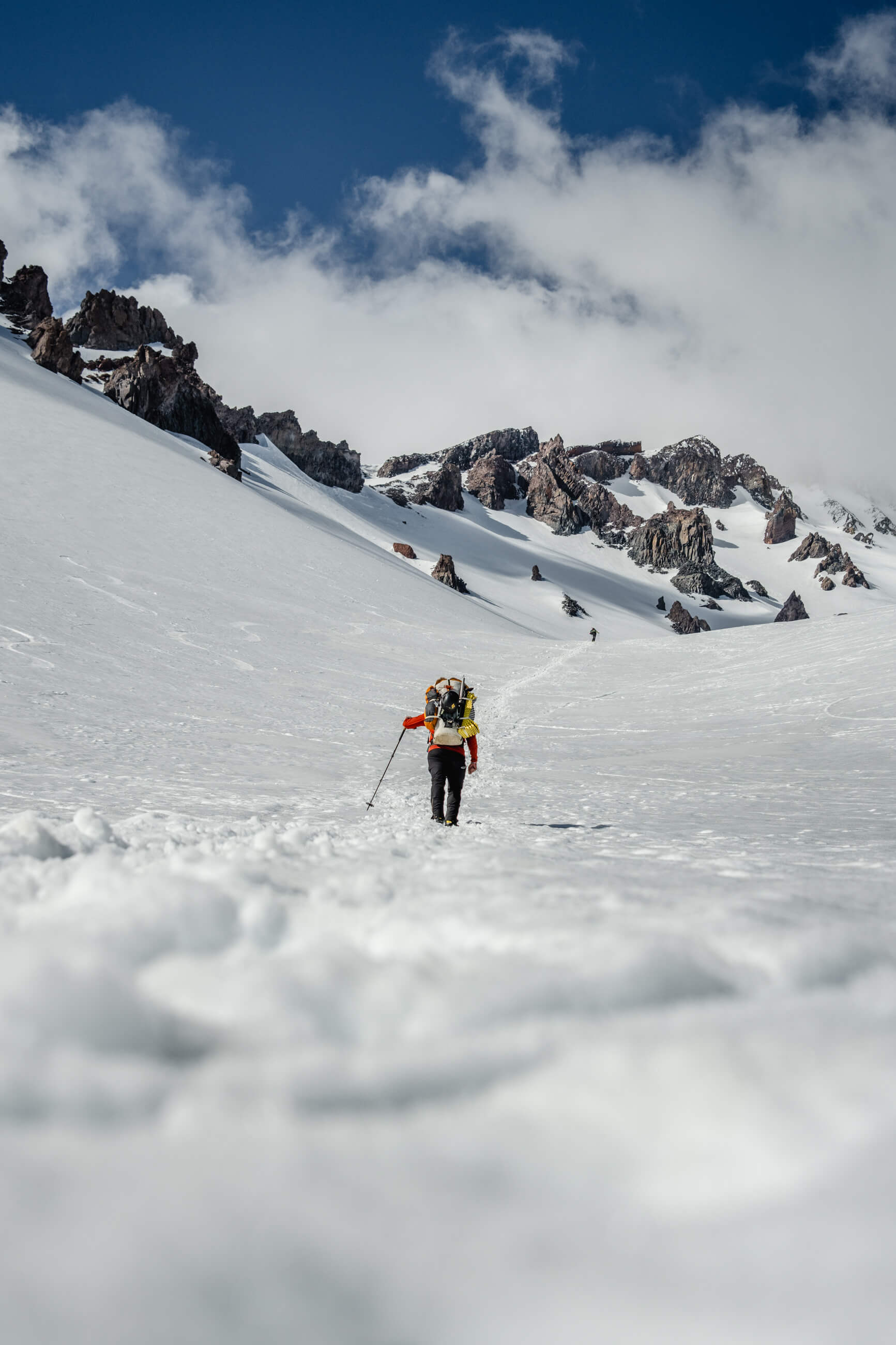
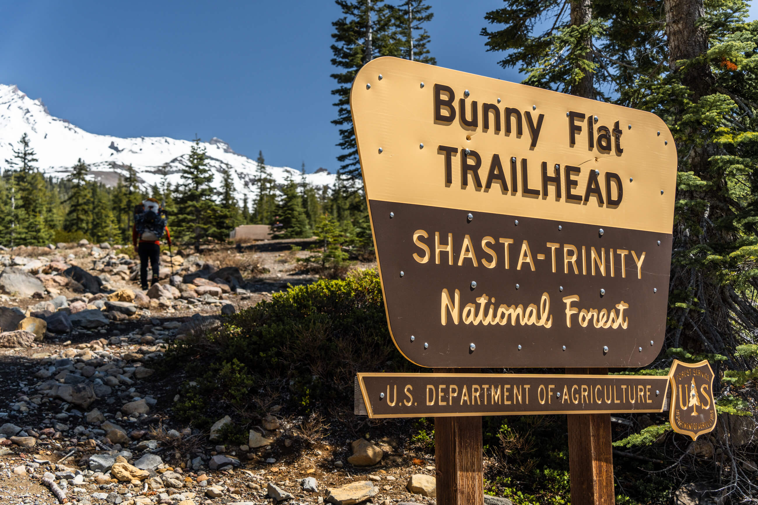
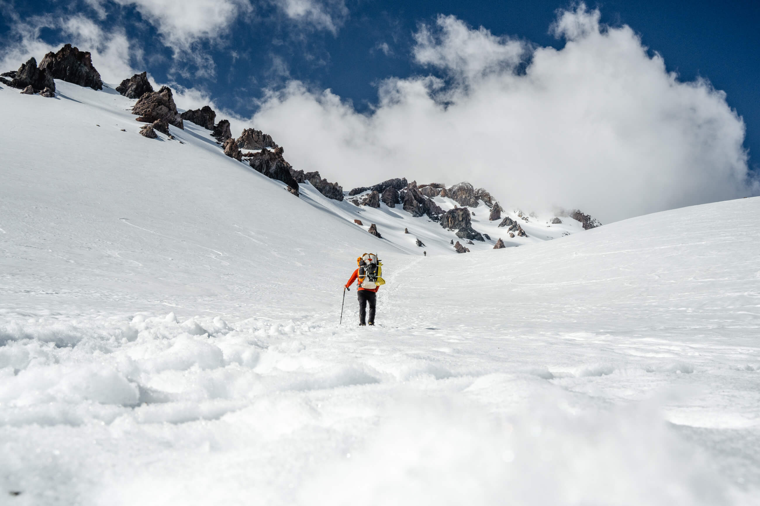
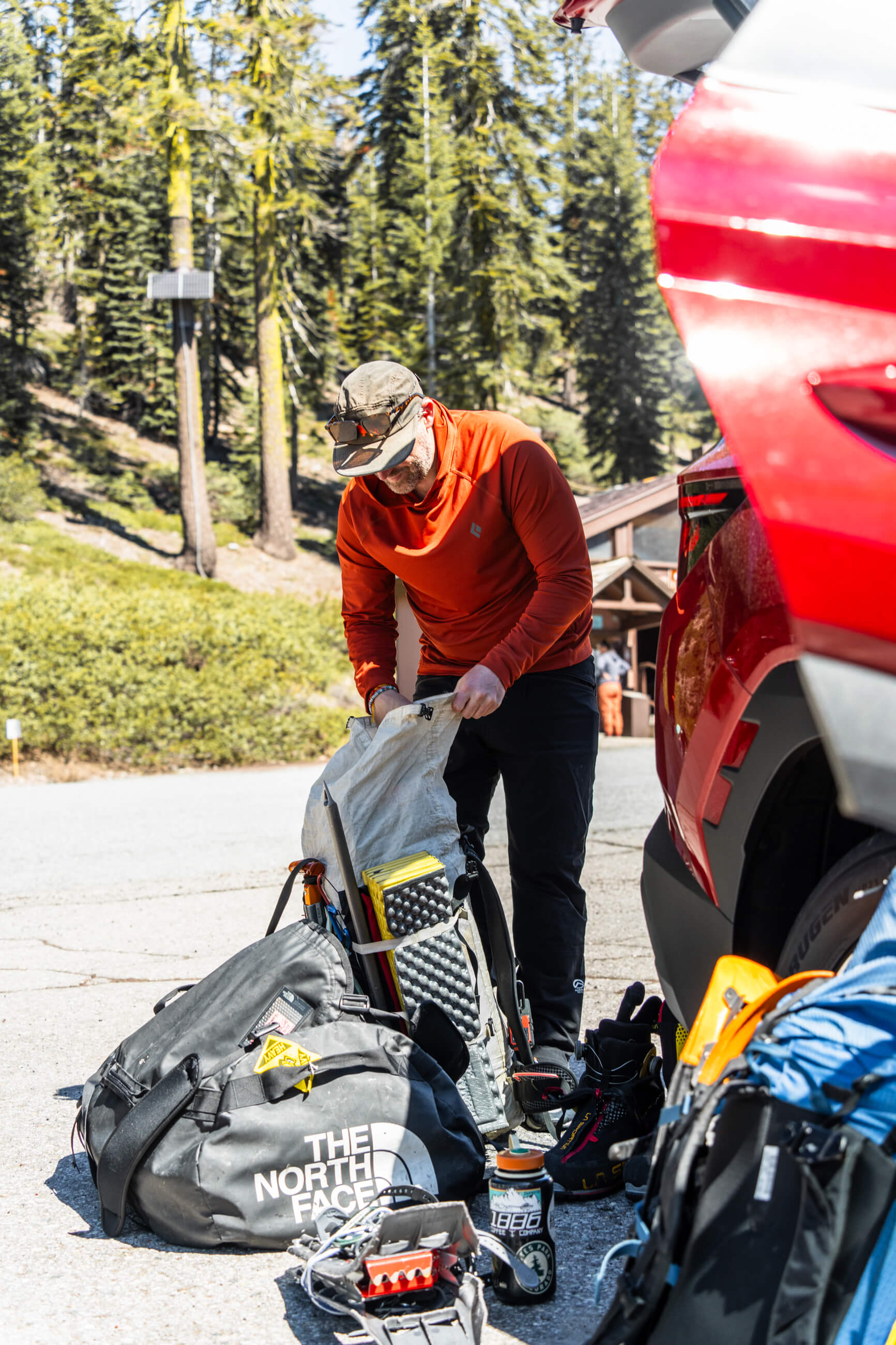
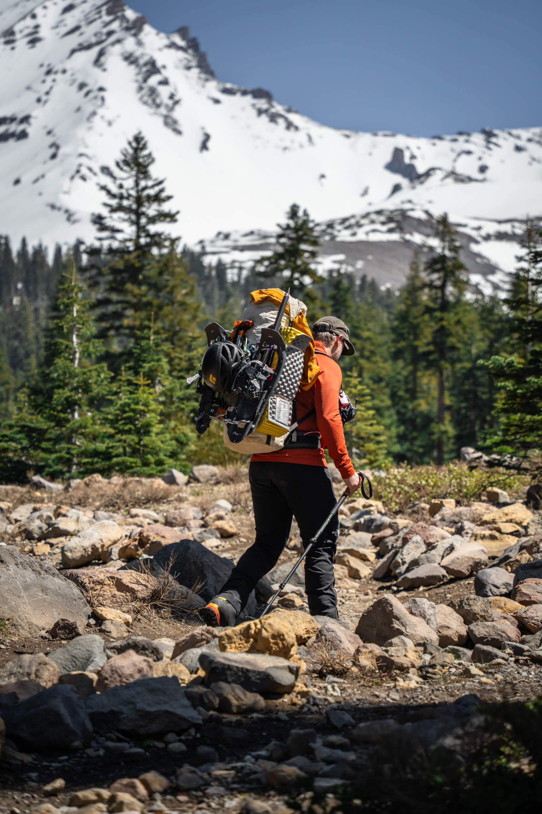
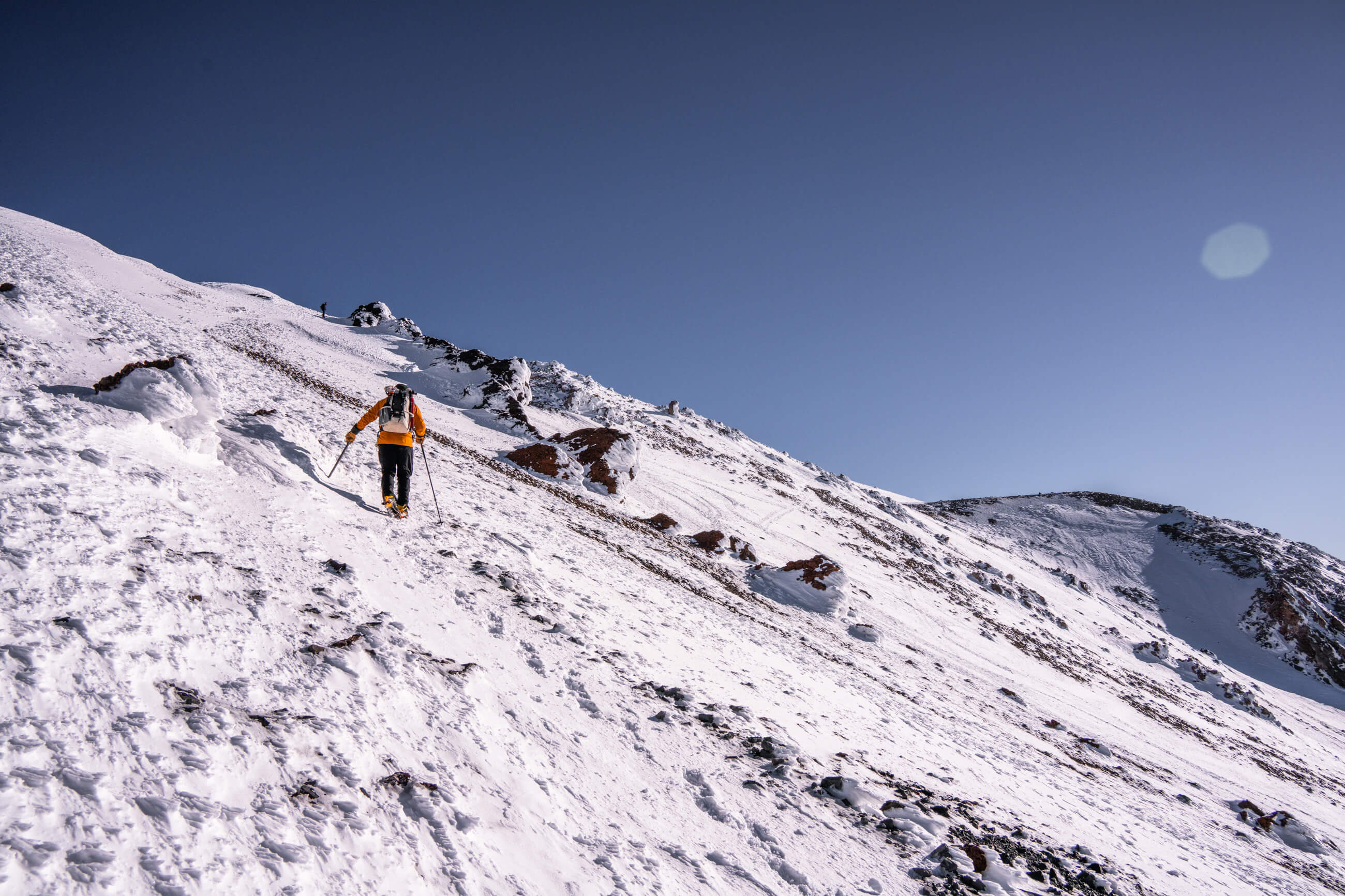
Brian and I had a midday start and the road up to the Bunny Flat trailhead is about 20 minutes from town and paved the whole way. We were each carrying about 55-pound packs on the slog up to the Helen Lake campsite. It’s about 3 miles and 3,500 feet up to Helen Lake from the trailhead. There’s a nice hut about halfway with fresh water. We ended up using snowshoes as the snow softened in the afternoon sun. We met our fellow campers, melted snow for dinner, and went to bed at sundown.
Bunny Flat Trailhead (image 1) and the view up Avalanch Gulch from our campsite at Helen Lake (image 2)
Approaching our camp at Helen Lake (images 1 & 4), Brian getting ready and hitting the trail from Bunny Flat Tralhead (images 2 & 3)
We started the next day around 4 a.m. out of camp and made quick work of the first 1,000 feet. The climb up toward Red Banks starts getting pretty steep near the top. The snow was pretty firm, and we were kicking some steps in towards the top. I think the darkness was playing tricks on our eyes because the last hundred feet to Red Banks seemed to drag on forever.
We opted to go up through a little ice chute, which was definitely the steepest section of the day.
It was a little shortcut, the less steep and more standard option is to the right of the Red Banks rock formations. It was pretty chilly early in the morning, but the sky was clear and the wind was super manageable. Beautiful morning. 

After a short break, we pushed up and over Misery Hill, which honestly wasn’t too bad. By this point the sun was out, and we could finally see the summit block. At this point you only have about 300 feet of vertical left to the summit.
Early morning looking back down from Red Banks (images 1 & 2), Brian climbing up towards Red Banks and the chute we would ascend through (image 3)
Sunrise looking back from our ascent up Avalanche Gulch (image 1), the final summit block of Mount Shasta (image 2, 4), Brian making his way around the back of the final summit block (image 3), timelapse of sunset from Helen Lake camp (video)
Views looking up from Avalanche Gulch
The summit block is an incredibly cool rock feature covered in rime ice. This was my favorite part of the day.
Our descent back to camp went quickly, although I’ve never wanted skis more than while descending from Red Banks and during the long slog from camp to the car in the soft snow. It’s definitely very skiable, with an option for some chill low profile stuff or some steeper chutes. 

The summit from Helen Lake camp is about 3,700 feet over 2 miles (pretty steep). Camp to summit, back to breakdown camp, and then camp back out to the parking lot took us about 11.5 hours. 

We were so stoked we were able to get on a mountain after the weather shut us down in Alaska. We crashed in the town of Mount Shasta for the night, then made the drive down towards Mount Whitney for our next climb of the week.
Brian approaching the final summit block of Mount Shasta
Rime ice on the summit (image 1), making our way around Misery Hill (image 2)