Kit Carson Peak &
Challenger Point
Kit Carson Peak &
Challenger Point
Colorado
July 12, 2026
I had been wanting to do the Kit Carson Peak and Challenger Point combo for a while. They sit in Colorado’s Sangre de Cristo range right next to the Crestone 14er group (Crestone Peak, Needle, and Humboldt).
While Challenger Point has an elevation of 14,085 feet it isn’t an official 14er since it doesn’t meet the 300 feet of prominence requirement from its taller neighbor Kit Carson Peak (14,167 feet).

The town of Crestone is about a 3.5 hour drive from Denver. The last couple miles from Crestone to the Willow Creek Trailhead is a dirt road which is super mellow and does not require 4WD. I got to the parking lot the evening before the hike to get some sleep and there were already a number of cars camped out.
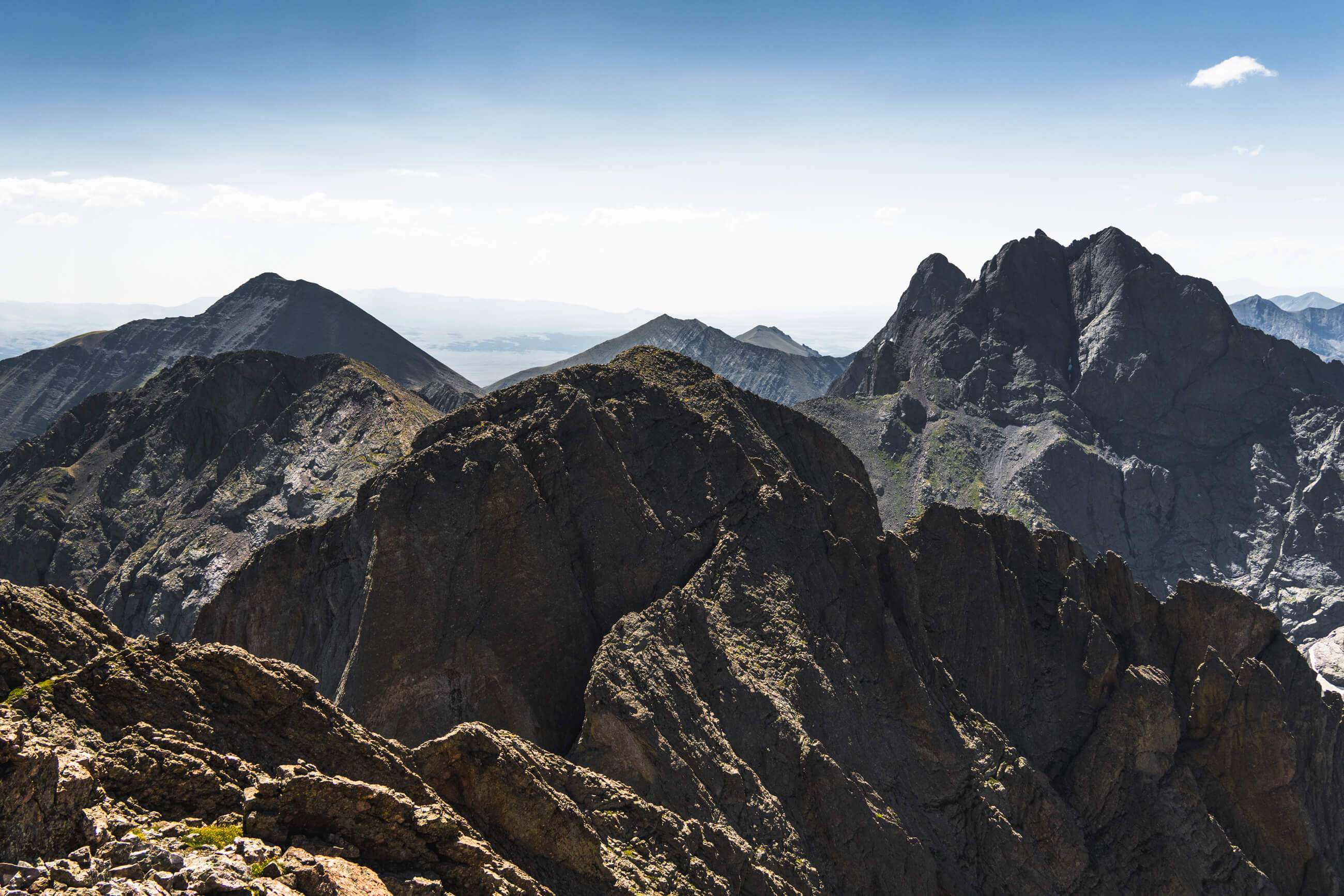
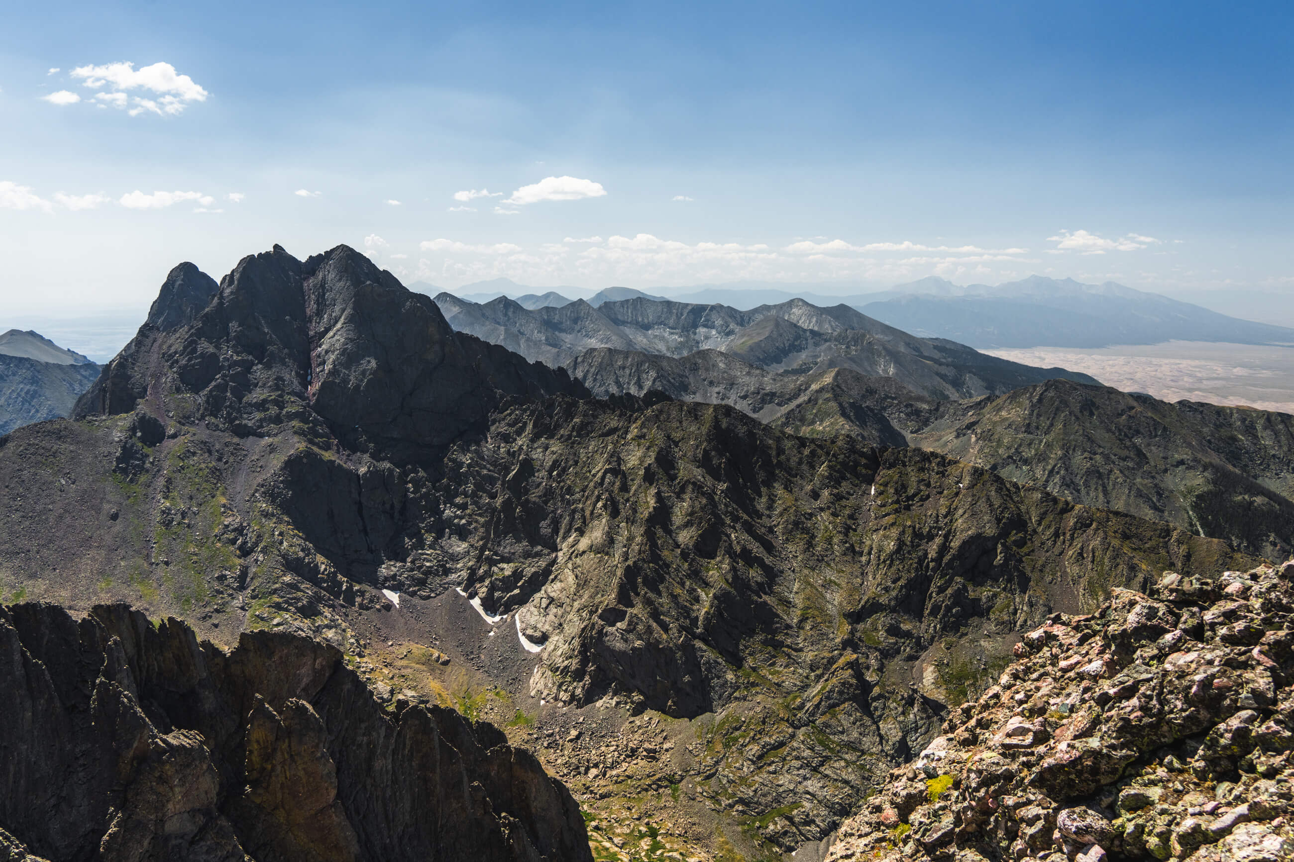
View from the summit of Kit Carson. That is Humboldt Peak on the left, and Crestone Peak and Needle on the right.
I started up the Willow Creek Trail at 3:45am and made my way through the first 4 miles of the woods in the dark. A little creepy.
The beginning of the hike is pretty easy and I got to Willow Lake campsite at sunrise. There are loads of campsites out here and it looks like a great place to put up a tent if you wanted to split the hike into two days.

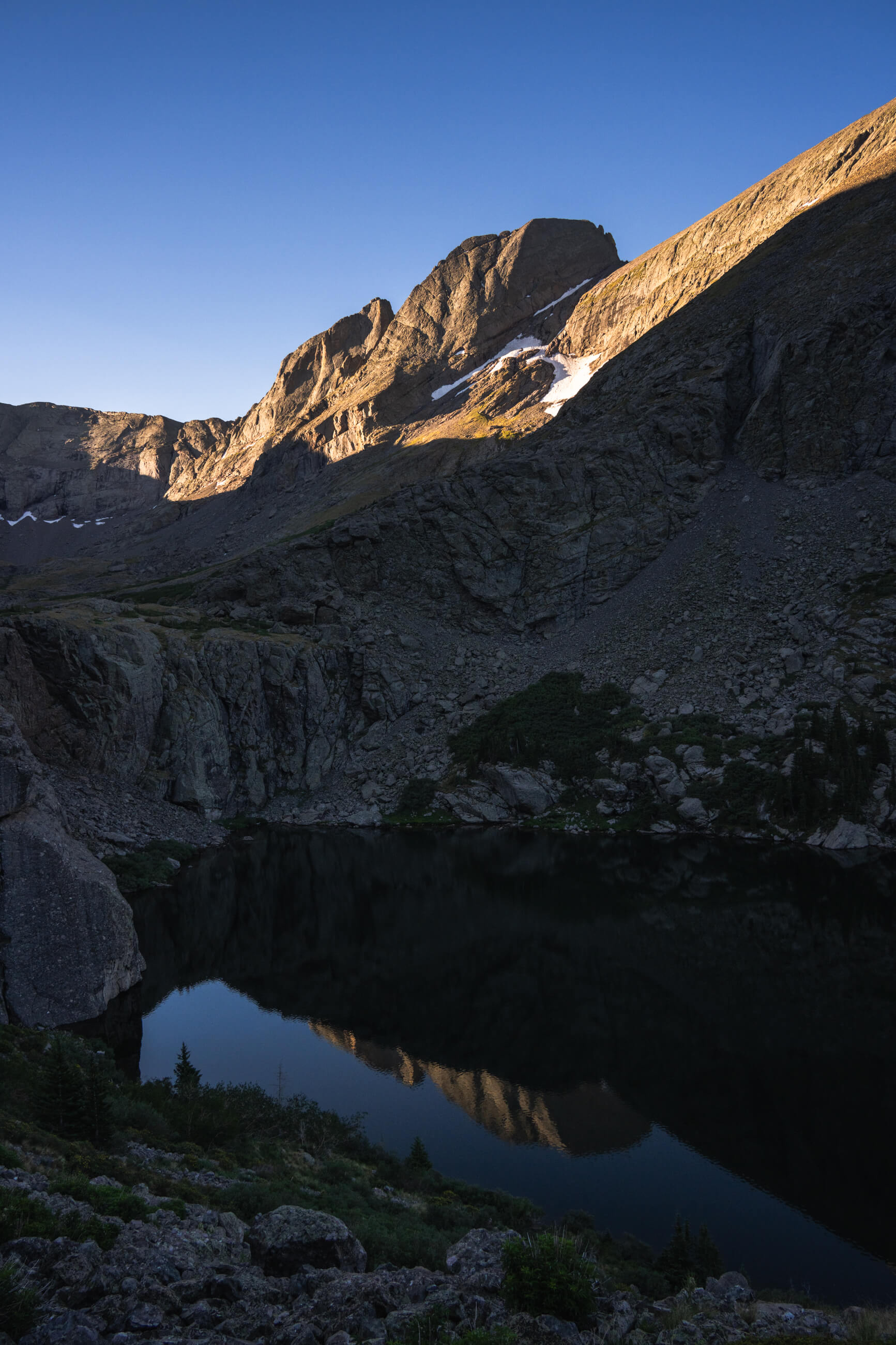
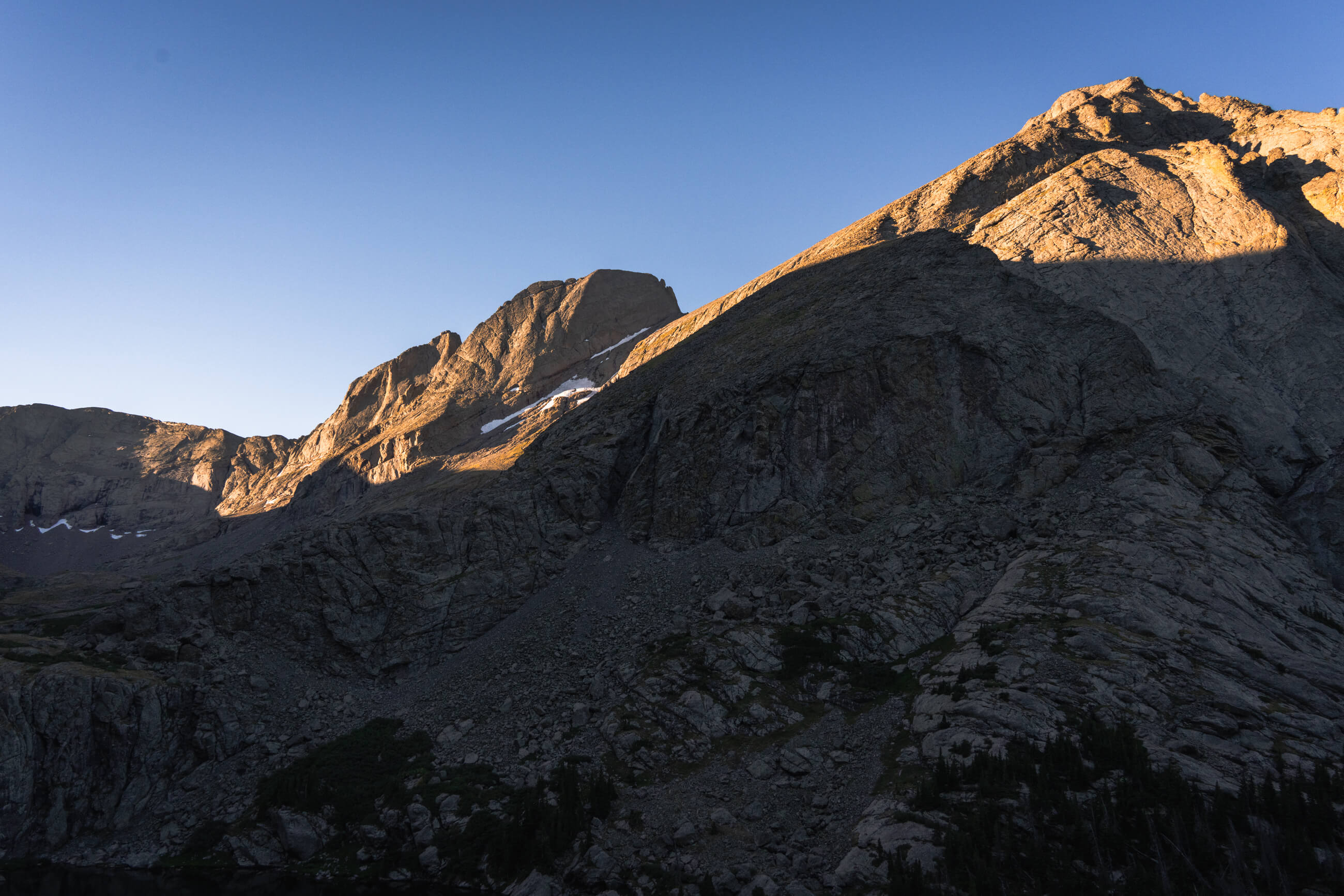
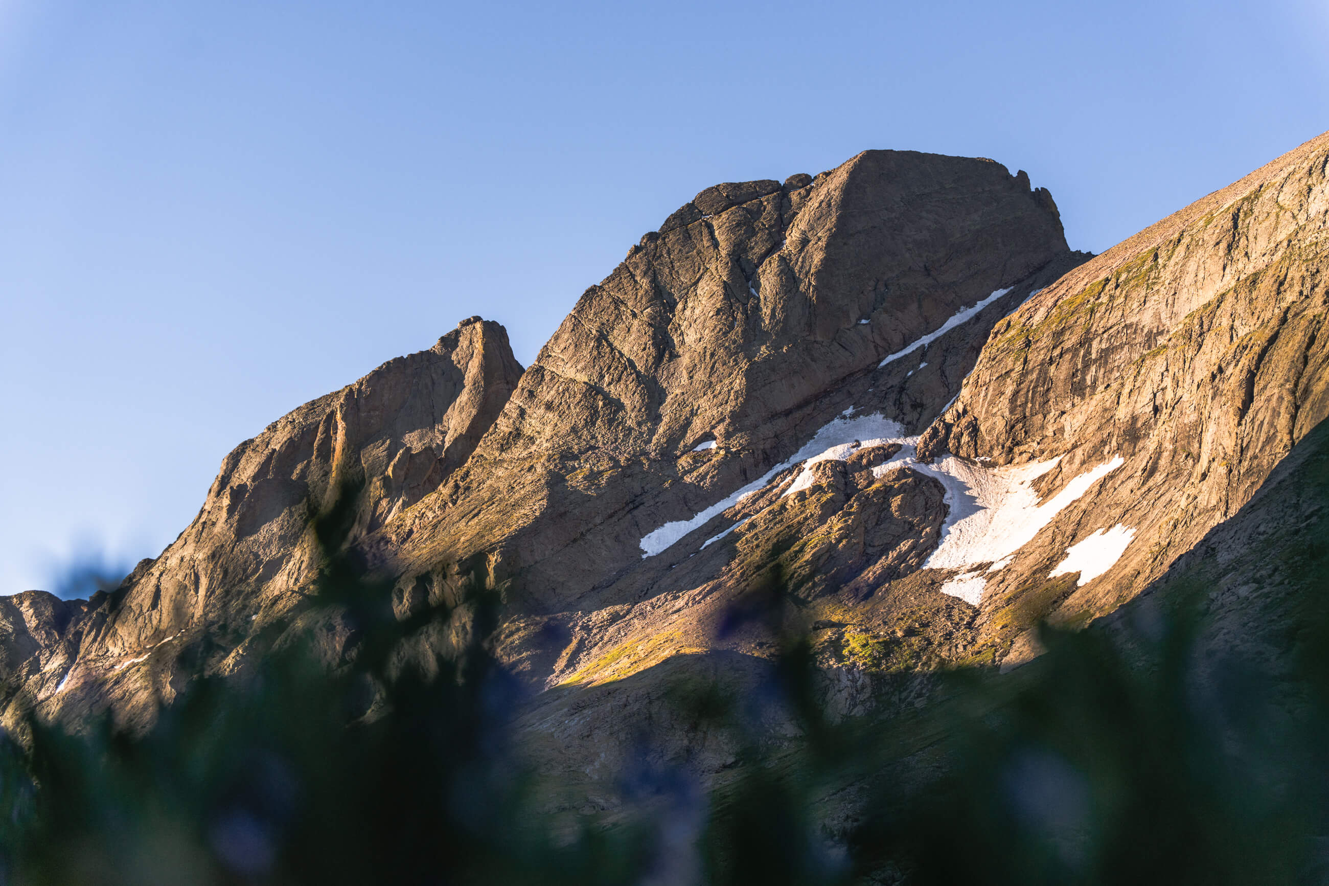
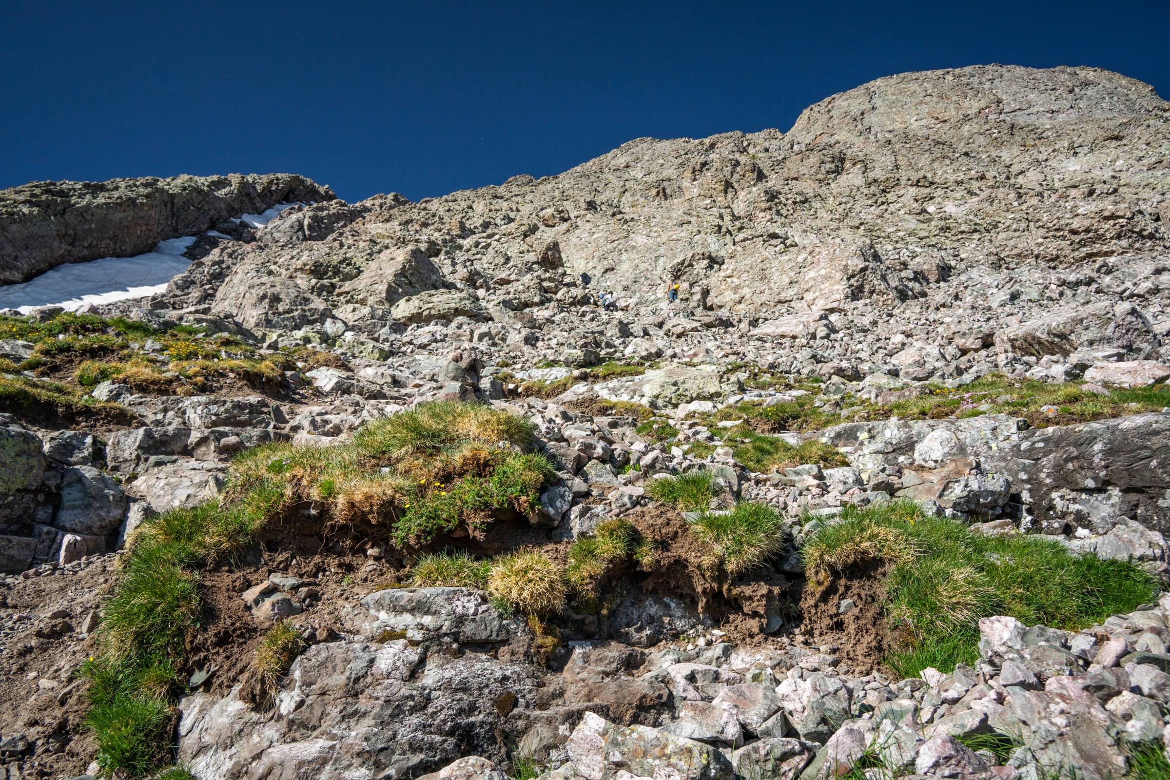
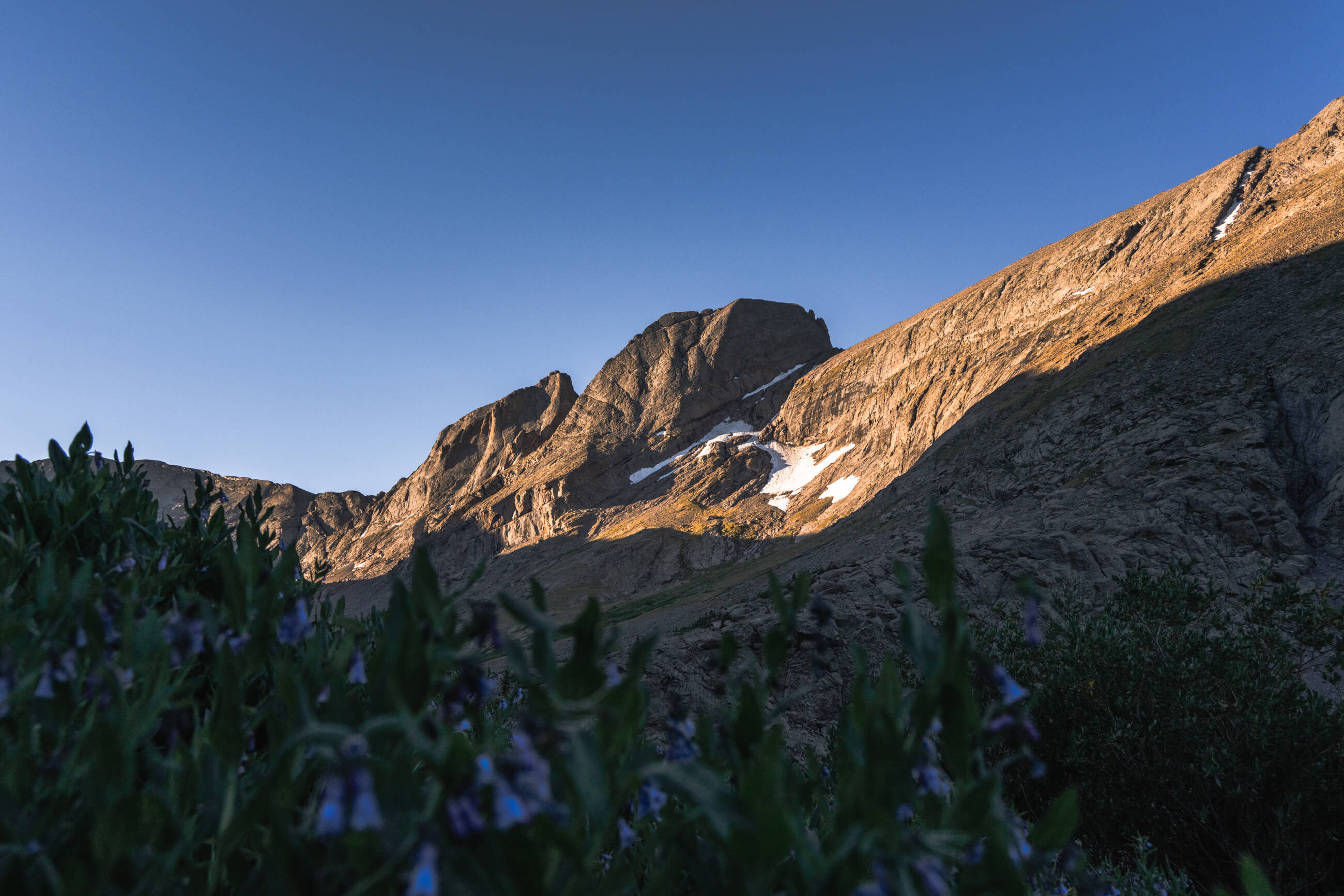
The trail begins to wrap around Willow Lake and you have your first views of Chellenger Point and the unique, rectangular profile of Kit Carson Peak. On the other side of the lake you begin the fairly steep ascent up to Challenger. This part really doesn’t exceed second class, maybe a couple third class moves depending on the exact route you take. This is the worst part of the day as there’s a lot of loose scree and dirt towards the top.

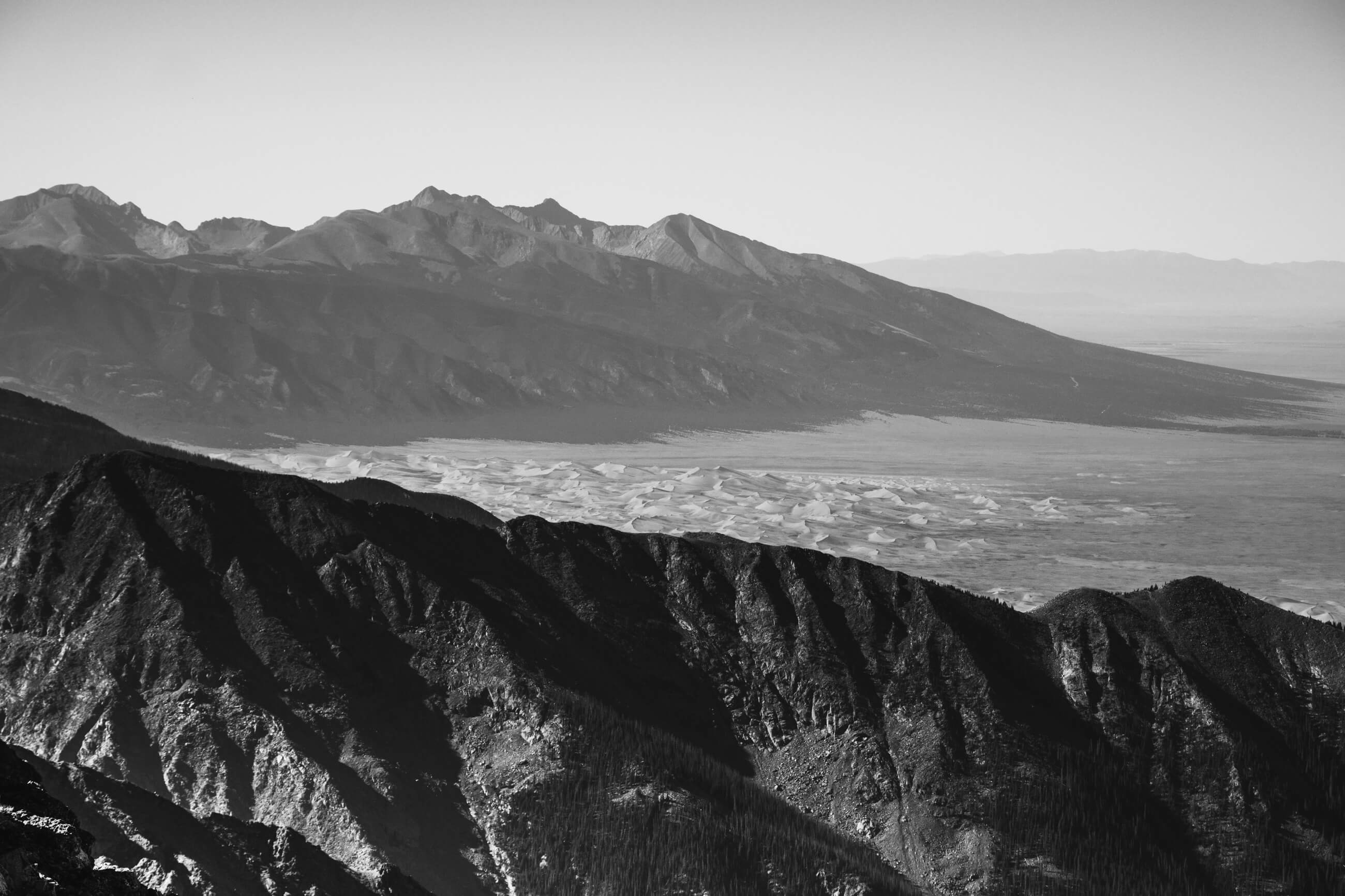
Eventually you reach the ridgeline (clearly indicated with cairns) and just a few hundred feet further to the summit of Challenger Point. I reached the top at 9:15am. Here you have your first clear views of Kit Carson, Crestone Peak & Needle, and way off in the distance Sand Dunes National Park.
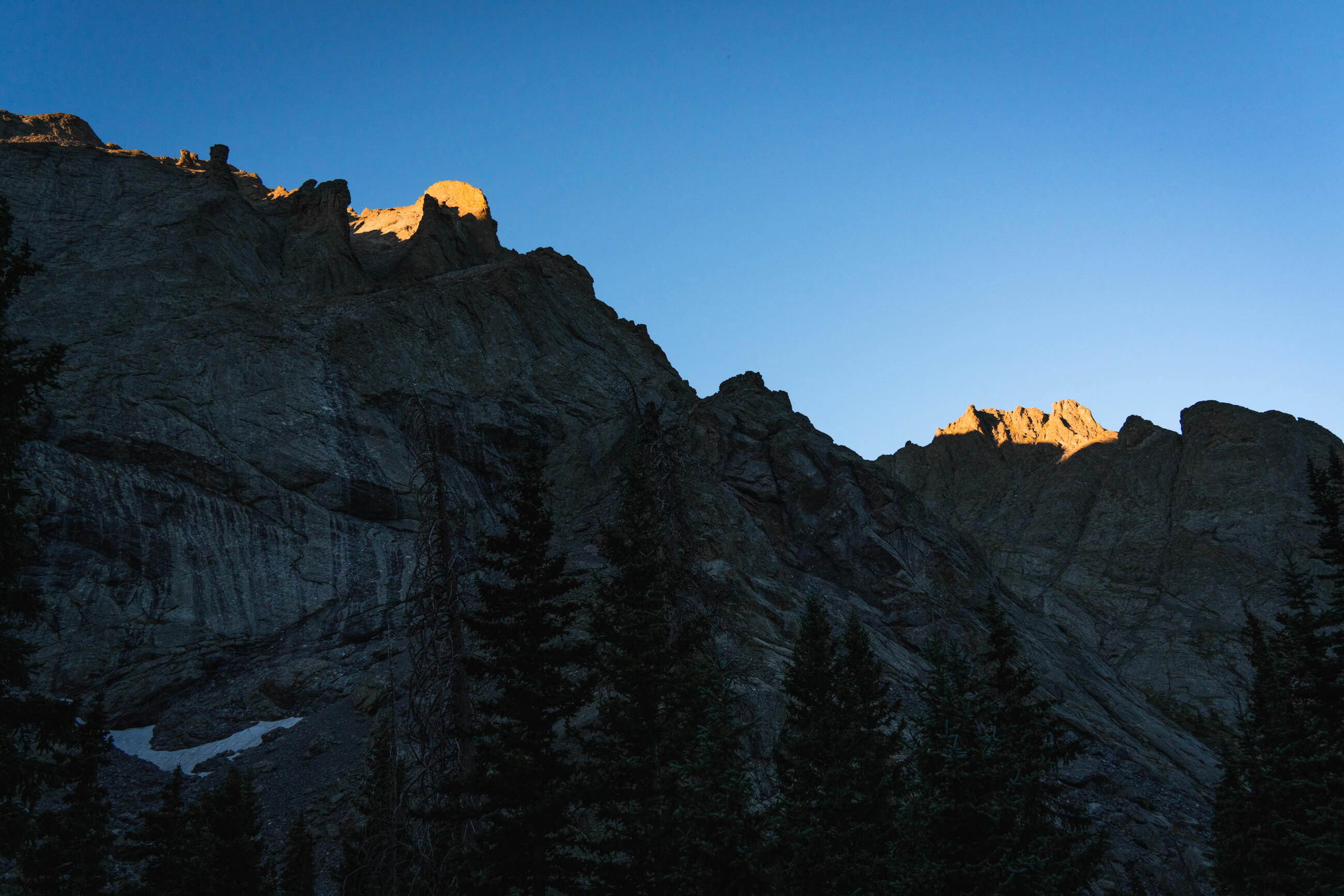
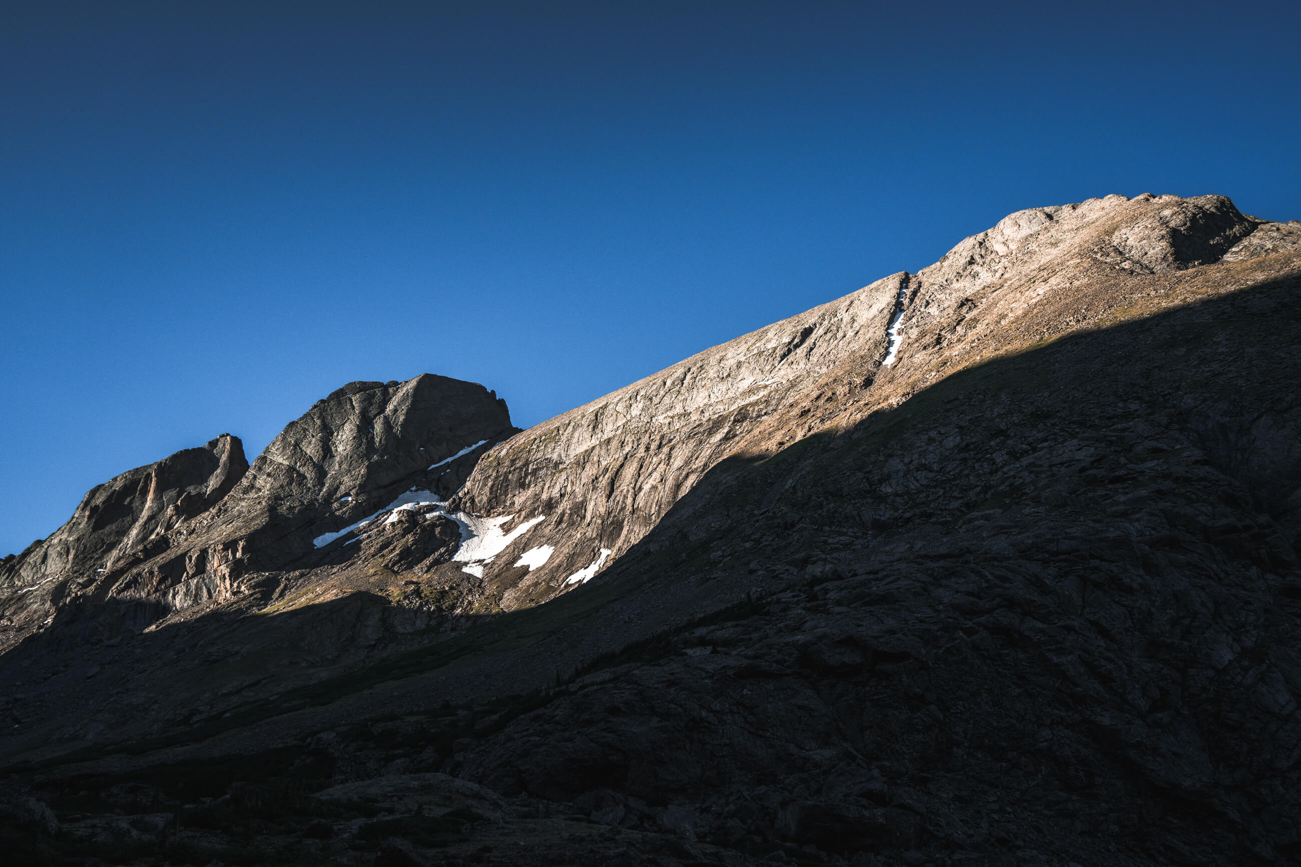
Sunrise views from Willow Lake
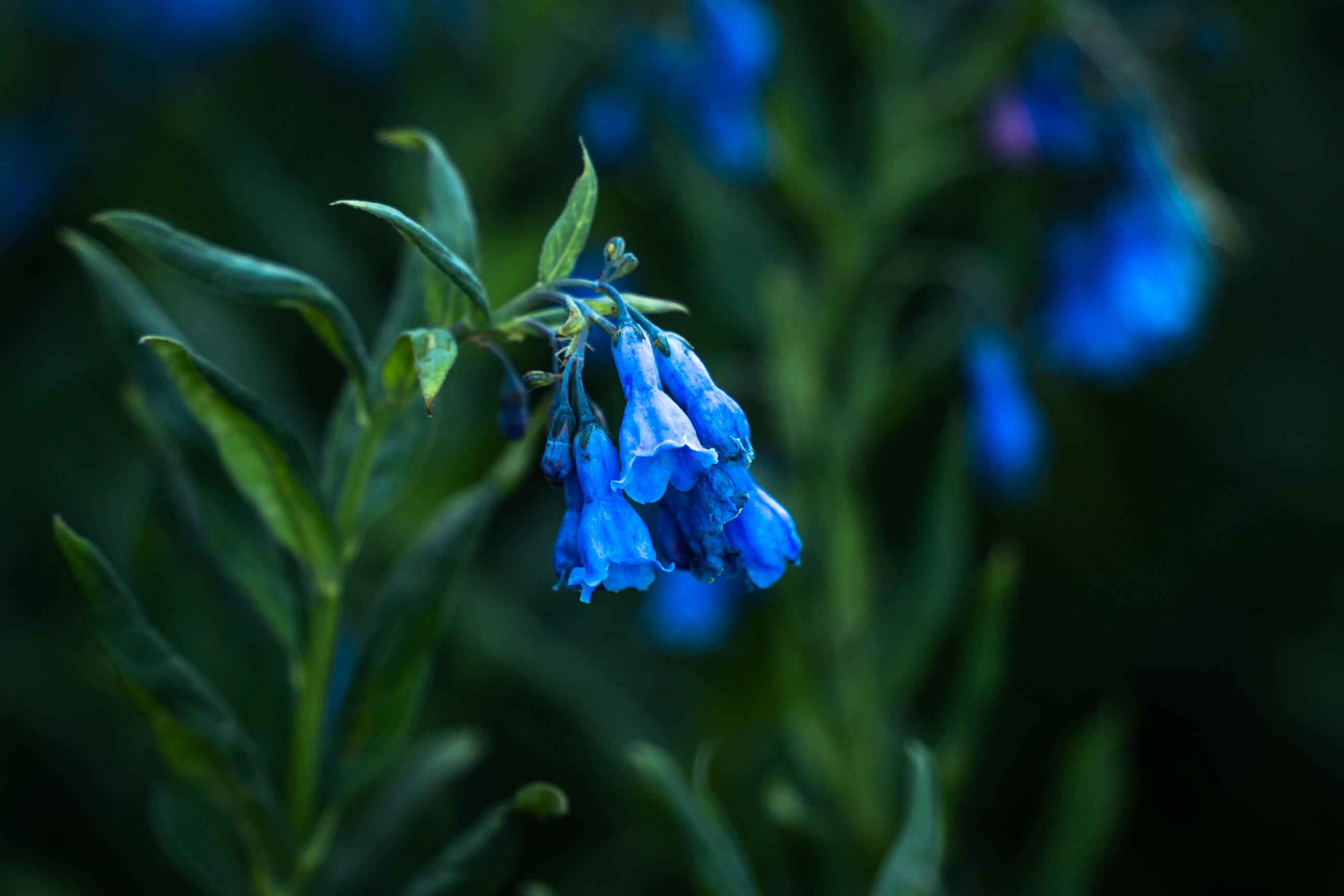
Kit Carson at sunrise (image 1), wildflowers (image 2), Kit Carson and Challenger Point at sunrise (image 3)
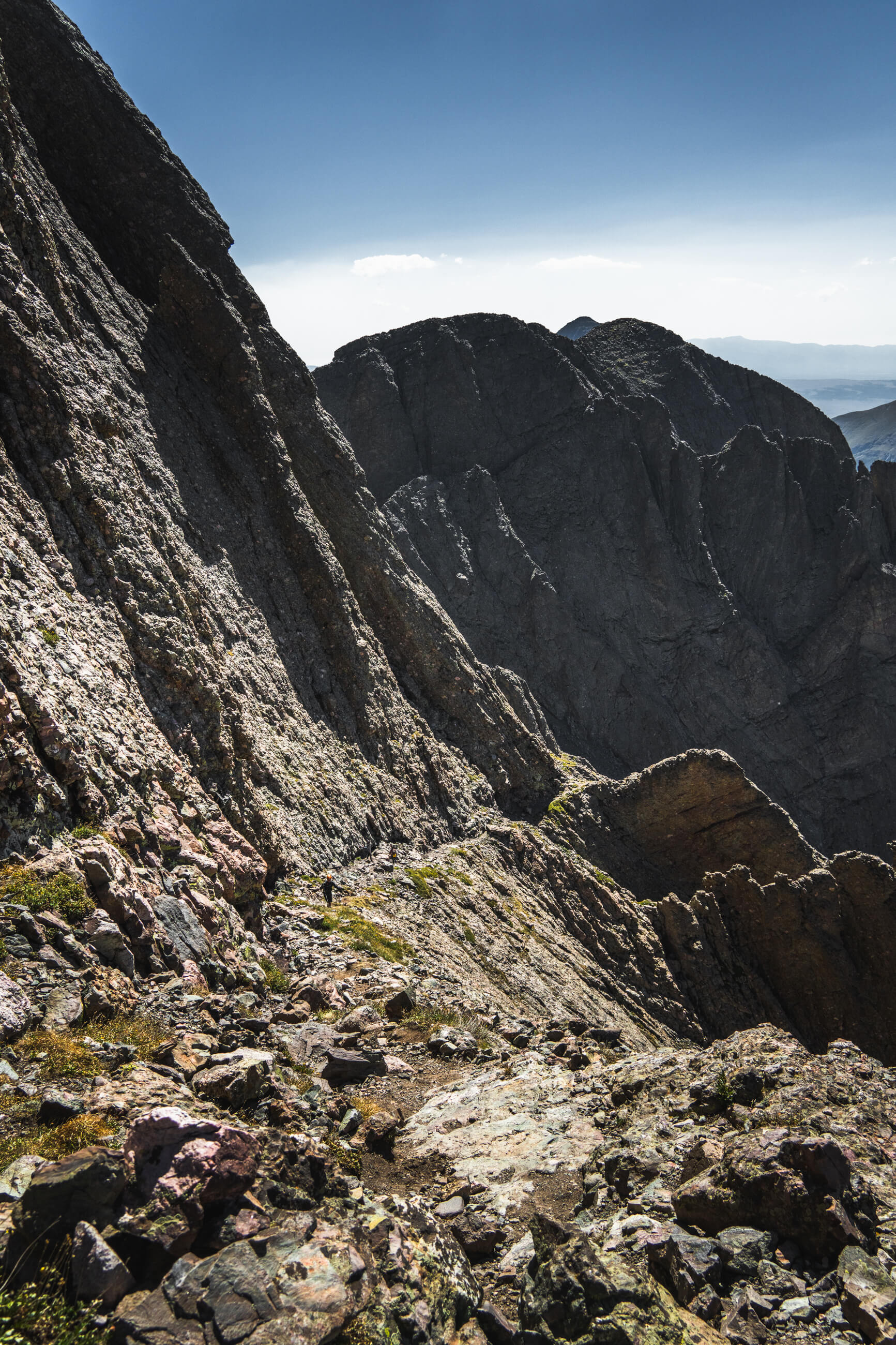
From here descending to the “avenue” route is super obvious as it is basically carved into the side of Kit Carson.
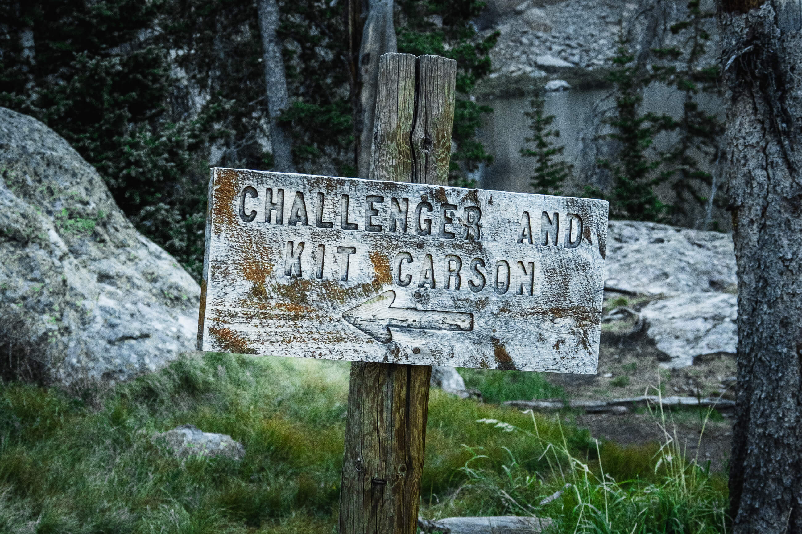
You hike down to go up again, to go down again, to go up again. The big warning for this particular route was to not descend too far on the “avenue” to avoid cliffing out. There was a sign and it was pretty clear where to make the left turn up the back of Kit Carson. The ascent from here is fairly steep but same as Challenger, I’d say difficult class two maybe class three depending on the route. I’m happy I had the route photos but didn’t end up needing them for reference.

It was a bit under an hour from the Challenger summit to the summit of Kit Carson. Kit Carson is a pretty small summit and there were a few other people on the top. I had a snack and took in the views of Humboldt Peak and the Crestones. Way off in the distance past the Sand Dunes you could just make out Blanca, Ellingwood, Little Bear and Lindsey. 
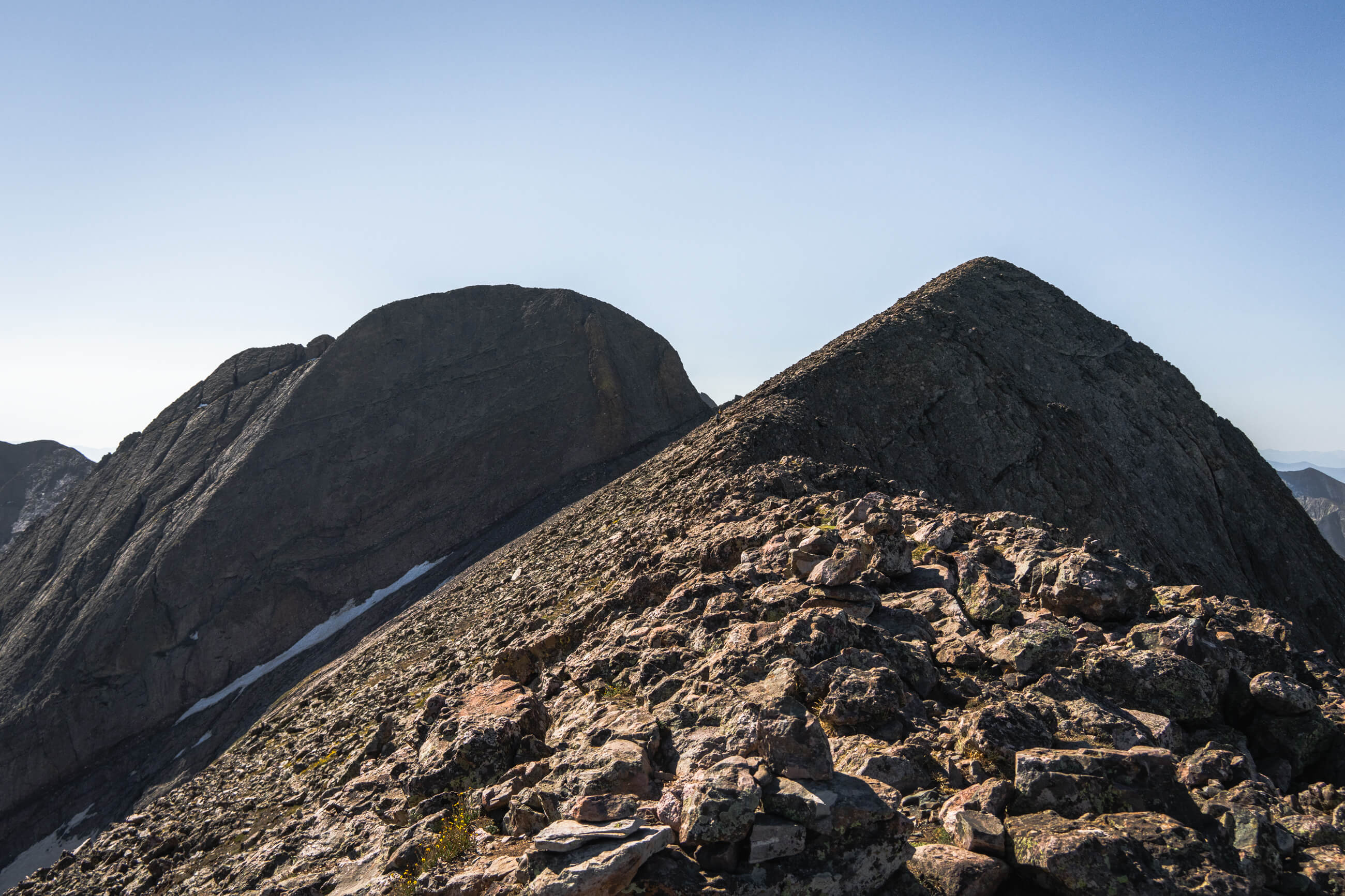
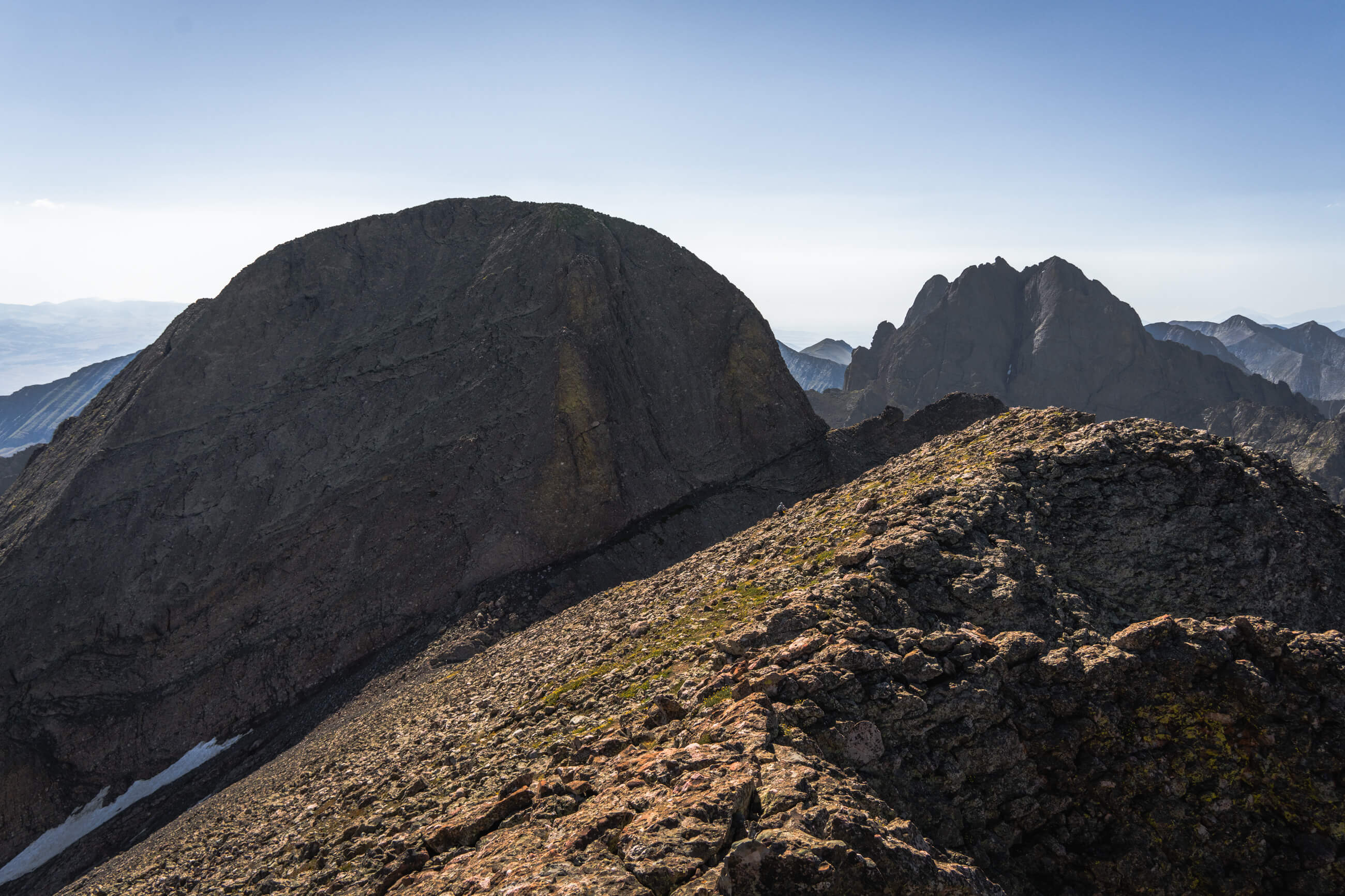
The views as you ascend up Challenger Point (image 1 & 2), Kit Carson on the left and Challneger Point on the right seen from the summit ridge of Challenger (image 3), Sand Dunes National Park seen from the summit of Challenger (image 4)
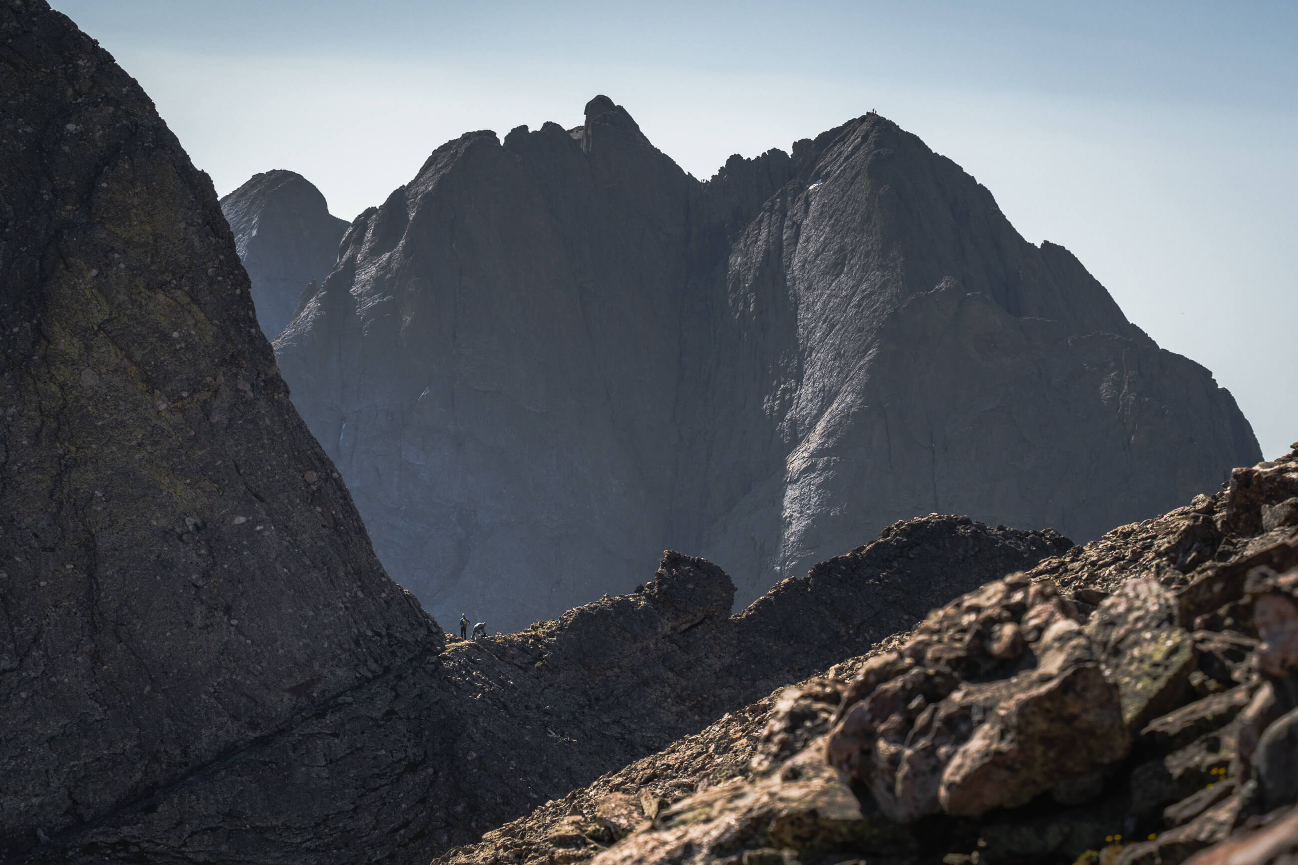
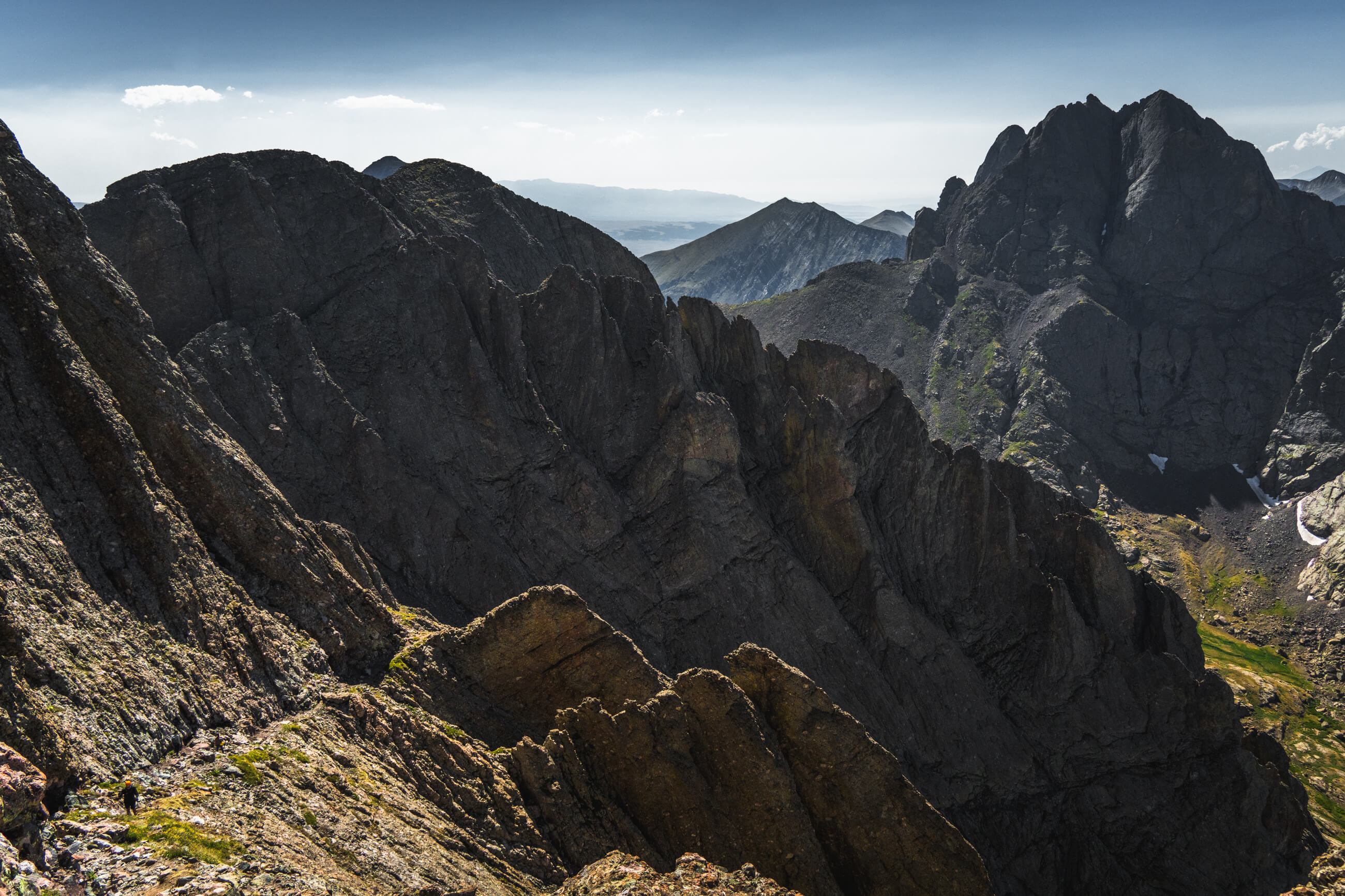
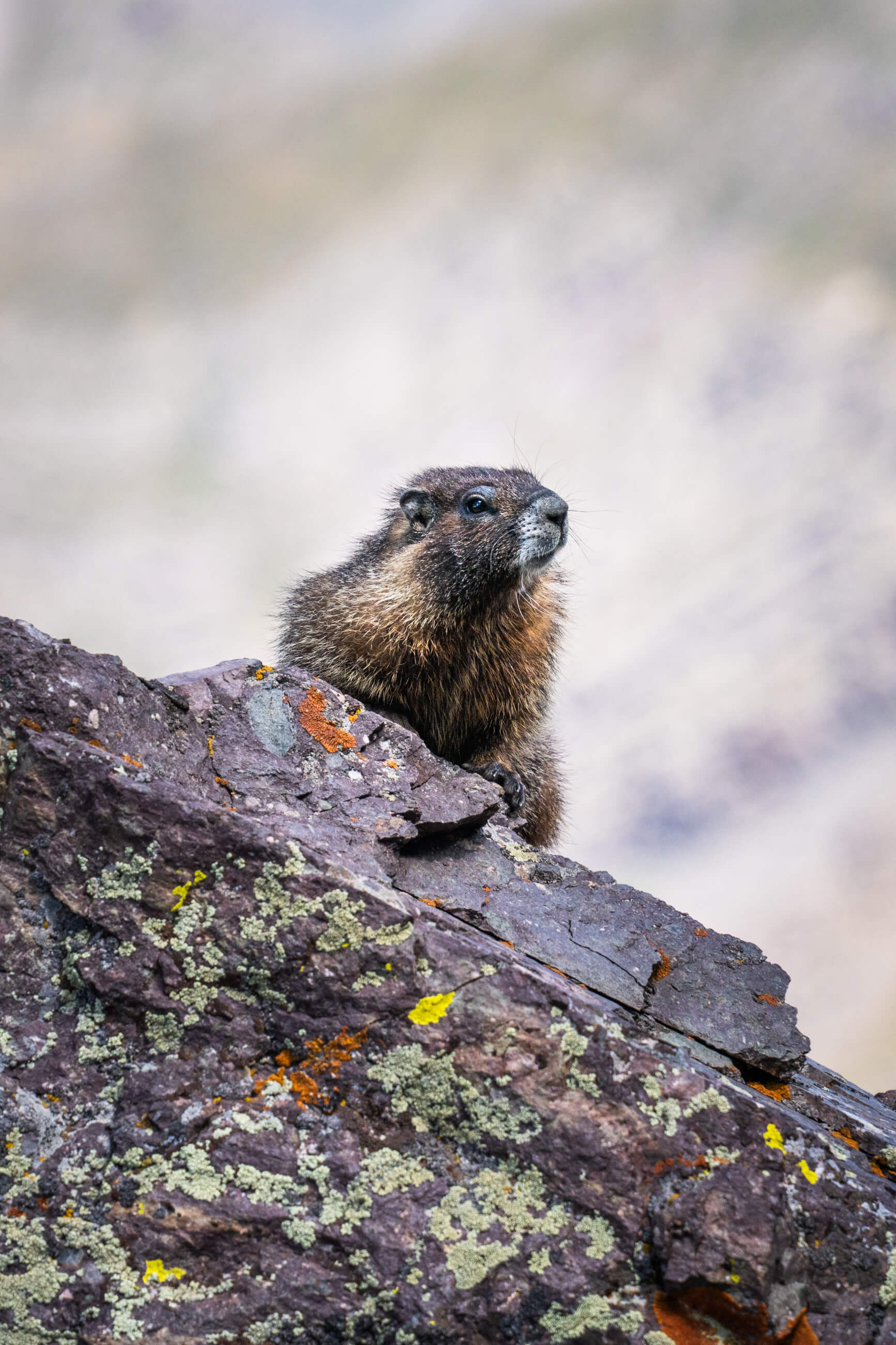
Kit Carson on the left (you can see "the avenue" on the edge of the mountain) and the Crestones on the right (image 1), hikers standing on "the avenue" with Crestone Peak and Needle in the background (image 2), views looking down "the avenue" (image 3 & 4), a curious marmot (image 5), the Crestones on the right and Sand Dunes National Park way off to the right (image 6)
Coming down from both Kit Carson and Challenger was pretty slow, tedious, and frustrating as the rock is pretty loose and fairly steep. From the base of Challenger it is still about a 5 mile hike back around the lake and through the woods. My new allergies were killing my eyes and the slow descent was pretty miserable.

Overall, Kit Carson is a pretty cool and unique rock formation. It was about a 12.5 hour day to cover the 14 miles and 6,500 feet on the Willow Lake Trail.