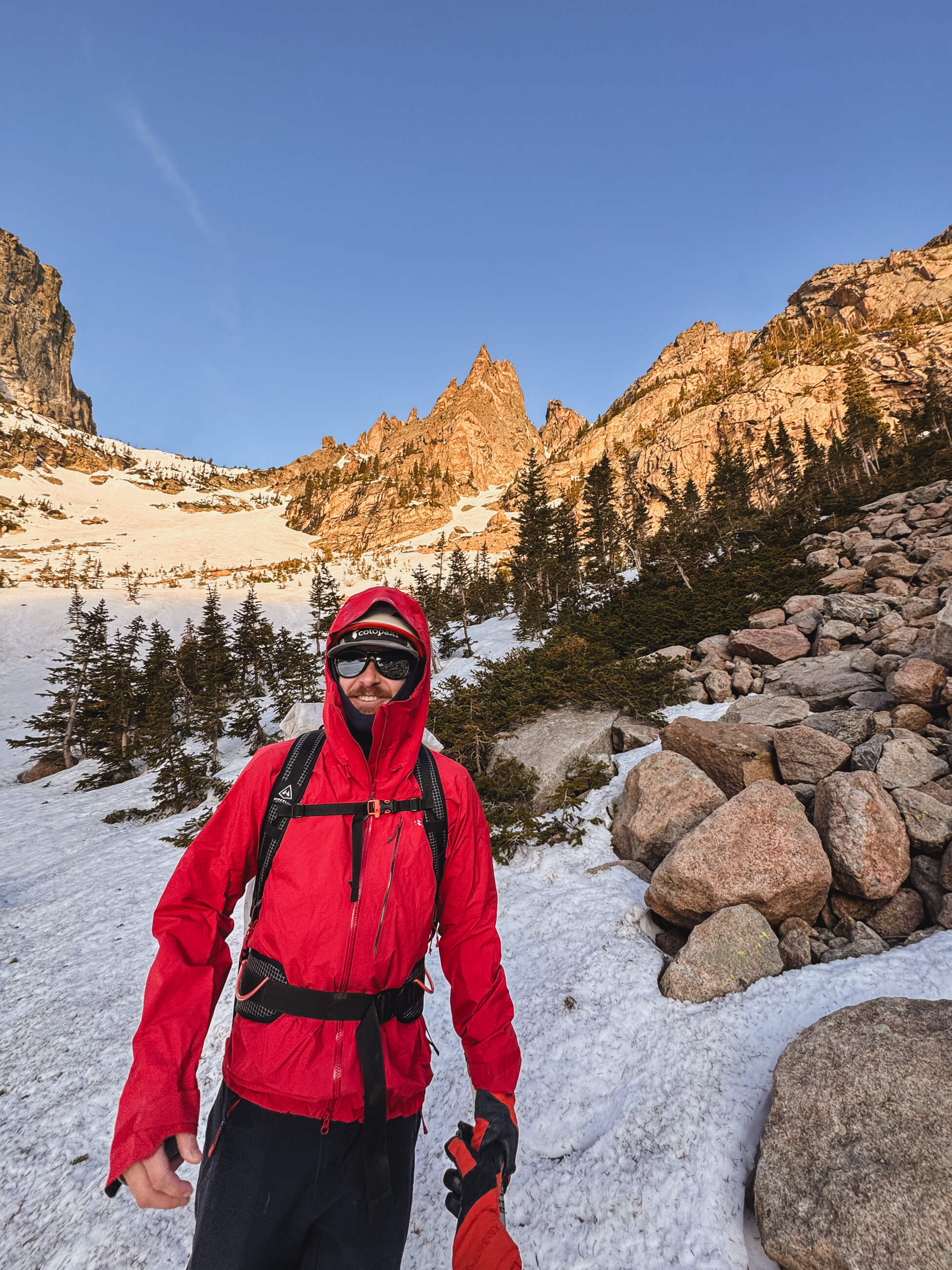
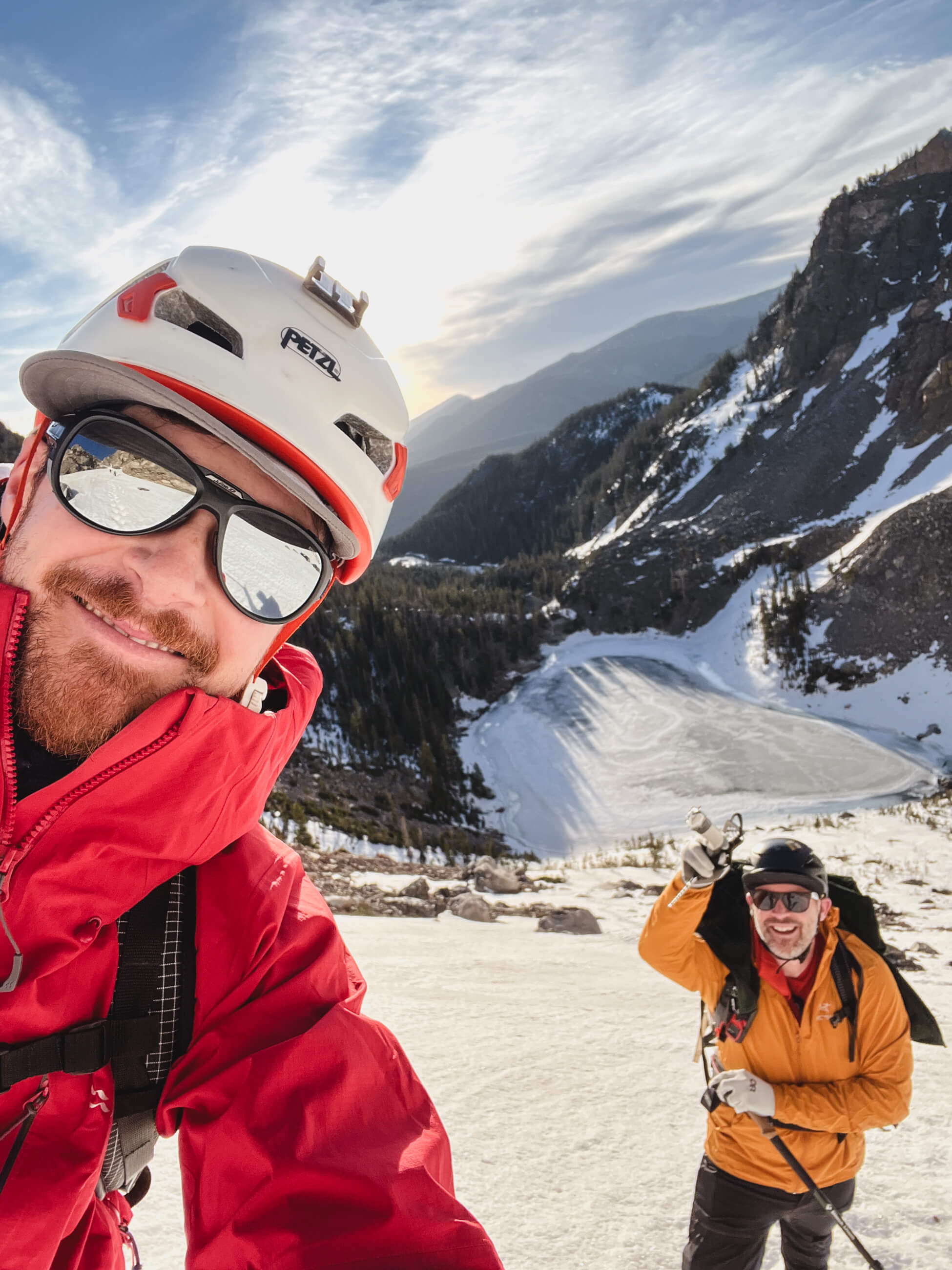
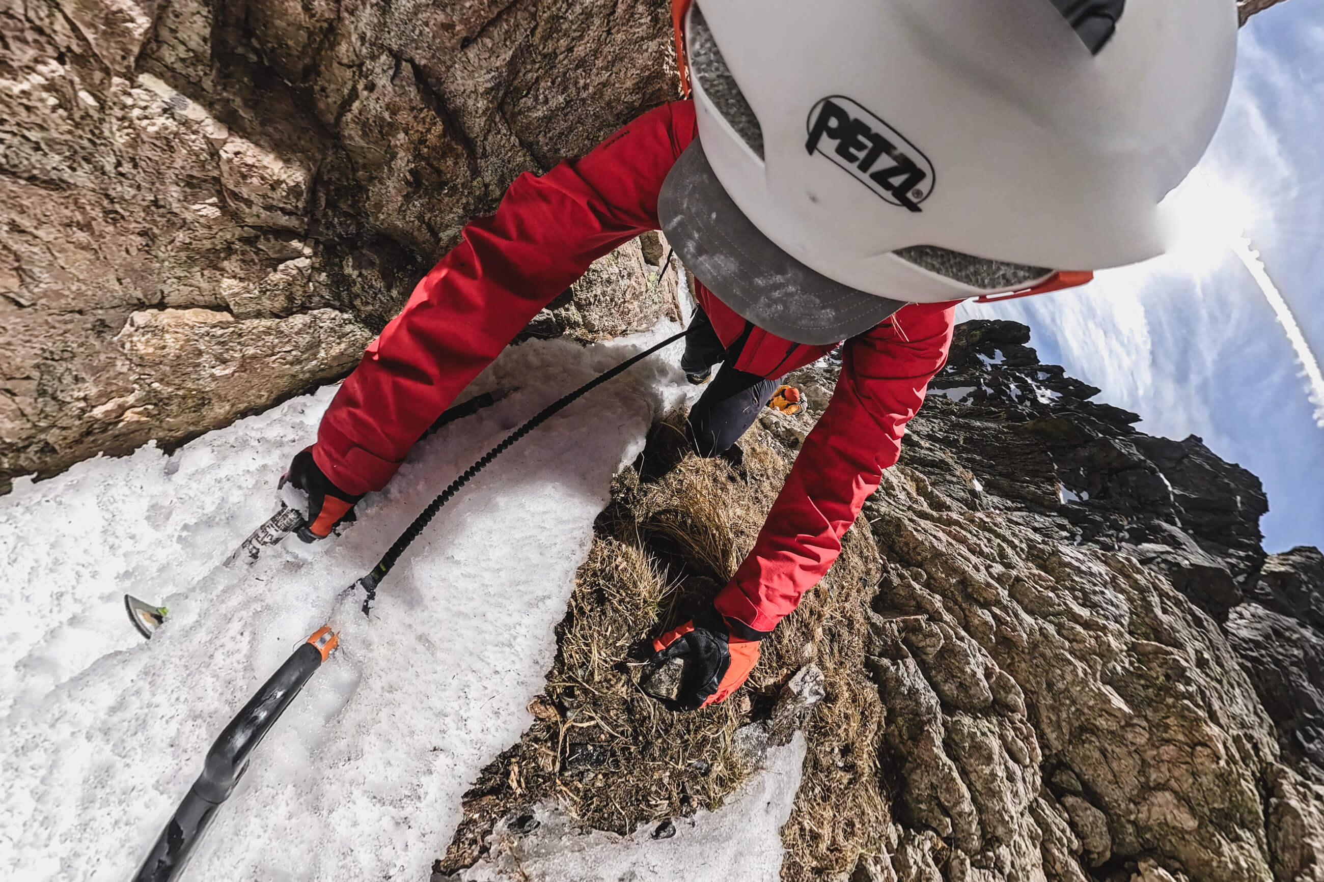
Brian and I rolled up to the base of the couloir around 6:30am as the sun was starting to cast red light on the surrounding rock. Lookers left of Dragon’s Tail Couloir is Hallett Peak, a gorgeous wall of rock that also ascends up from Emerald Lake. We put on crampons, beacons, helmets and started making our way up to the base. There were a few parties ahead of us, all skiers.
We had checked the night before and the avalanche forecast was all green for the eastern side of the park, and had some caution for the western part of the park. The Dragon’s Tail Couloir is pretty much
right on the divide in the forecasting so we opted to go early and exercise some caution.