Blanca Peak &
Ellingwood Point
Blanca Peak &
Ellingwood Point
Colorado
August 2, 2026
Blanca Peak (14,350 ft) and Ellingwood Point (14,057) are a popular 14er combo in the Sangre de Cristo Range.
They are neighbored by the much more technical Little Bear Peak and together are frequently referred to as the “Blanca Group”. They are some of the least accessible mountains sitting atop the infamous Lake Como Road. The 18 mile, 7,000 foot AllTrails Route starts from the beginning of the Road.

So of course the first major obstacle is Lake Como Road. Driving all the way to the top is an off roading achievement and something I wasn’t even considering in my 4Runner. A general rule of thumb for bail out points is… if you don’t have 4WD or high-clearance park at the lower trailhead, 4WD and higher clearance vehicles can get to the “lot” at 8,800 feet and maybe up to 10,000, seriously modified off-roading jeeps and ATVs (and a skilled driver) can reach Lake Como at 11,800ft. 
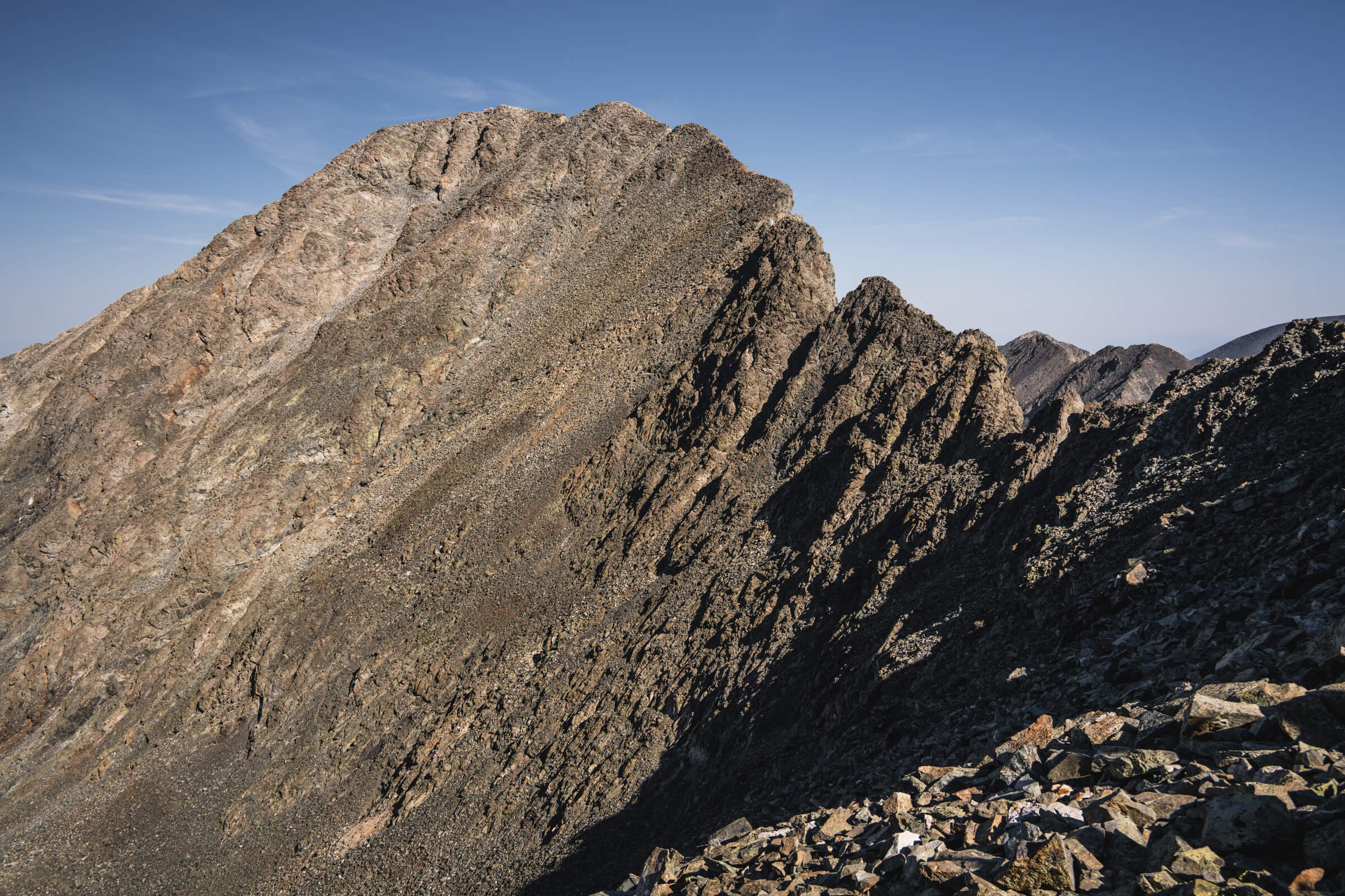
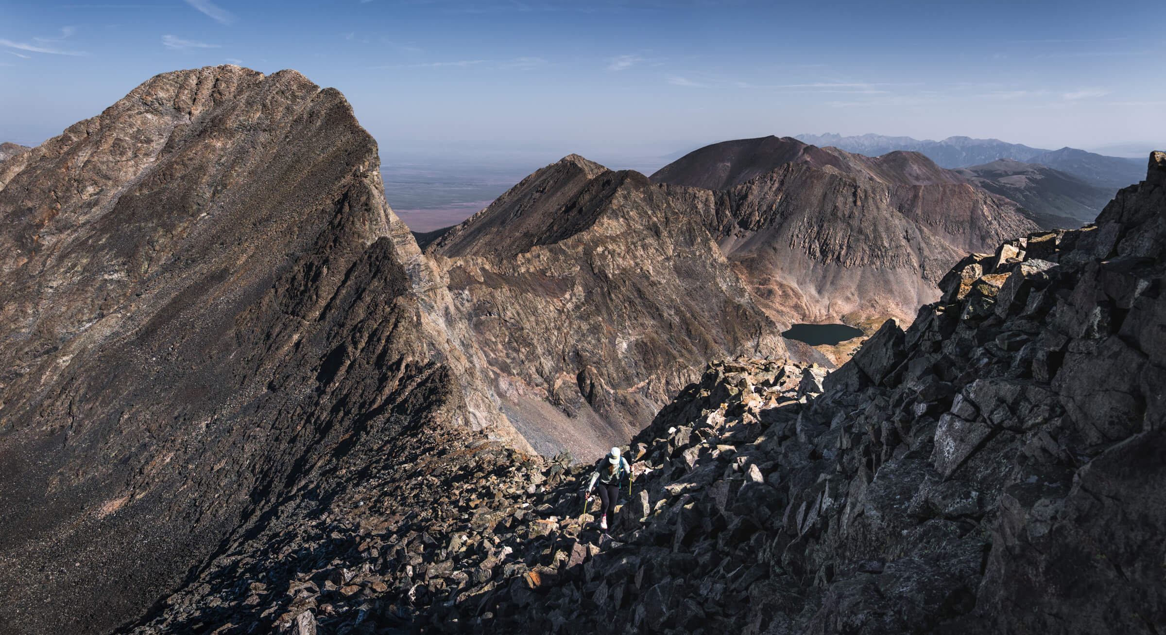
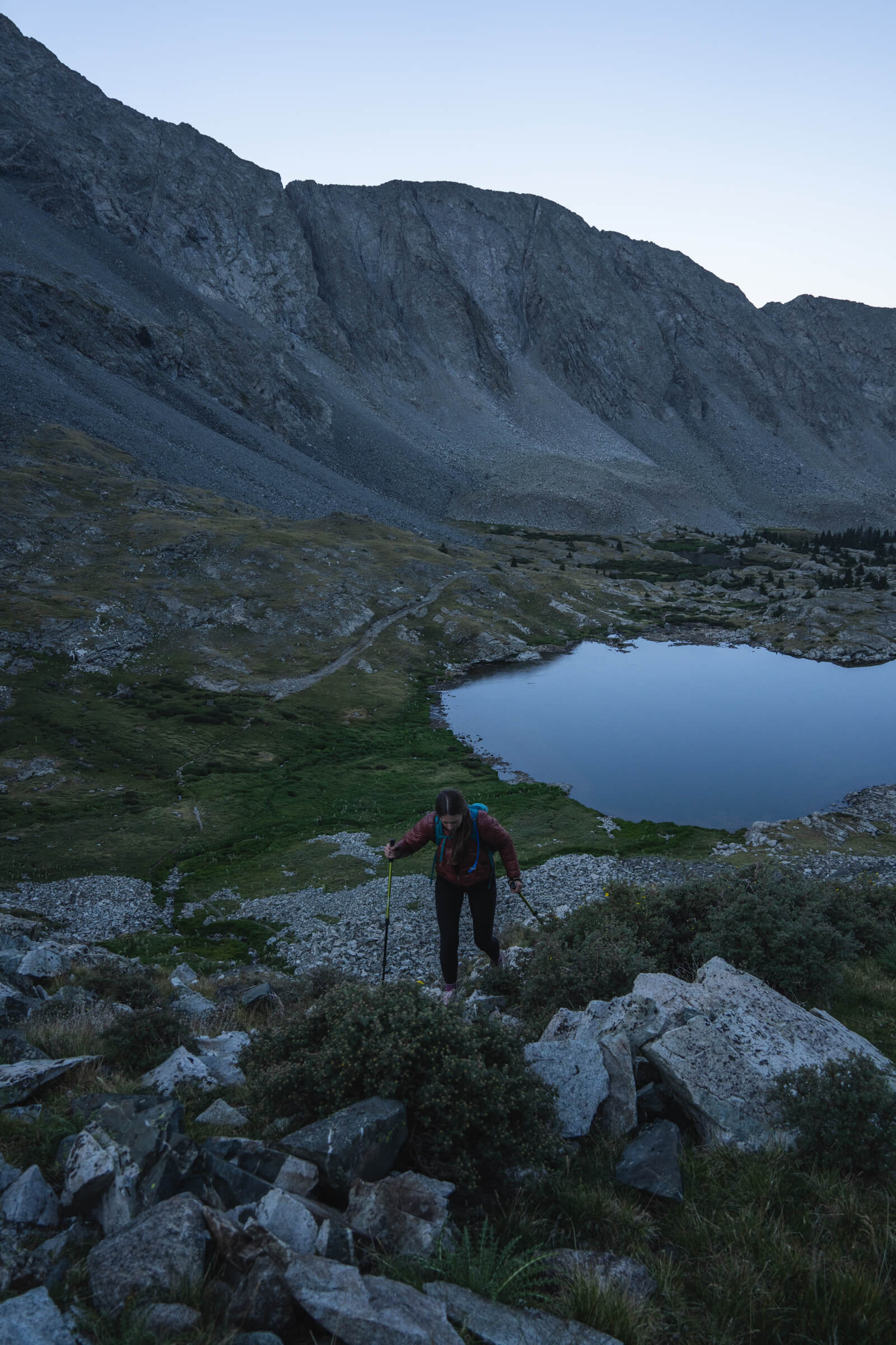
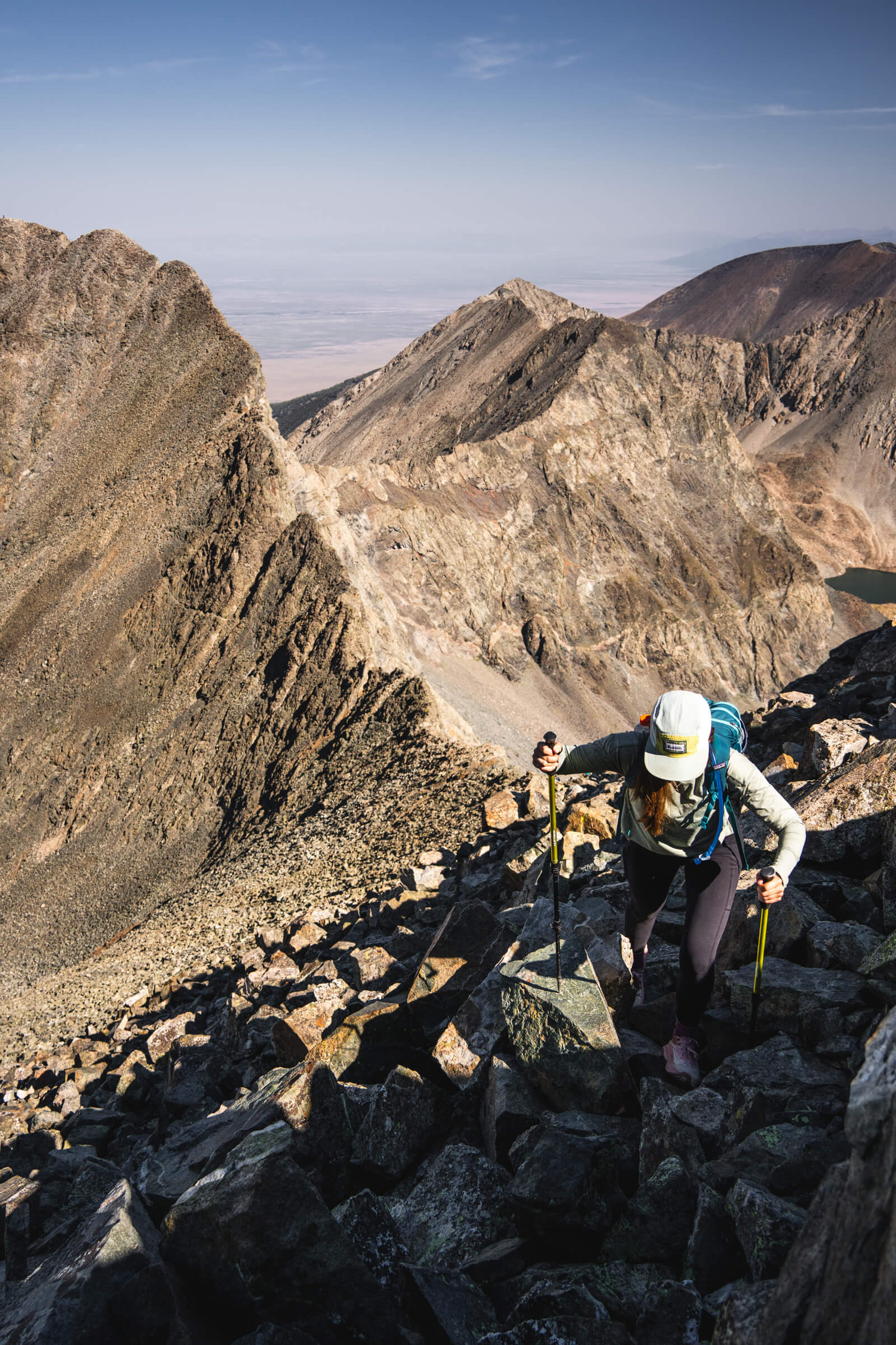
Heather ascending up towards Blanca Peak with Ellingwood Point in the background.
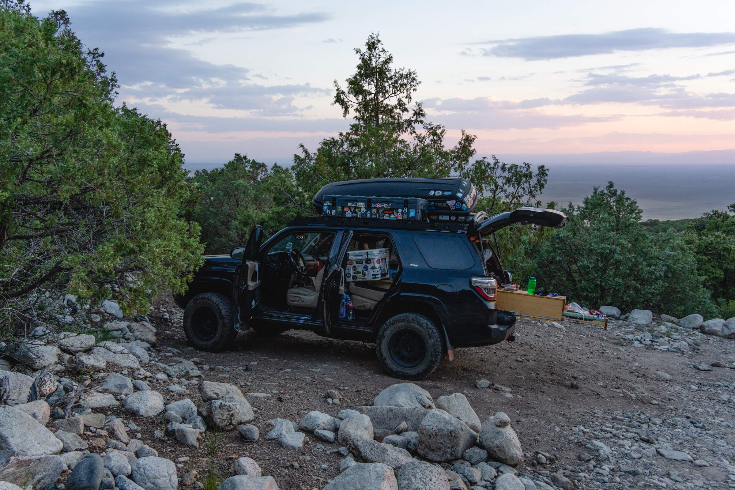
Getting up to 8,800 feet in my 4Runner really wasn’t too bad, South Colony Lakes road (Crestones and Humboldt) was perhaps a bit worse. We drove a little bit beyond this bailout point and parked 8,900 feet as the road really started to deteriorate.

What I found out the next morning as we started hiking is that the road improves again beyond this point and I’m confident I could have gotten to 9,900 feet. There are fewer parking spots along this stretch. There’s a pretty big parking area at 10,200 feet with a couple major obstacles just before it.
Heather and I left the car at 3:30 am and made quick work up to Lake Como. We walked over “Jaws” and only spotted a couple cars above this point. Seriously impressive driving.
The “road” was so bad we couldn’t help but find it a bit funny and it was pretty busy with hikers heading up to Lake Como. Little Bear is the first peak to come into view as you hike past two more lakes and make your way towards Ellingwood and Blanca. 
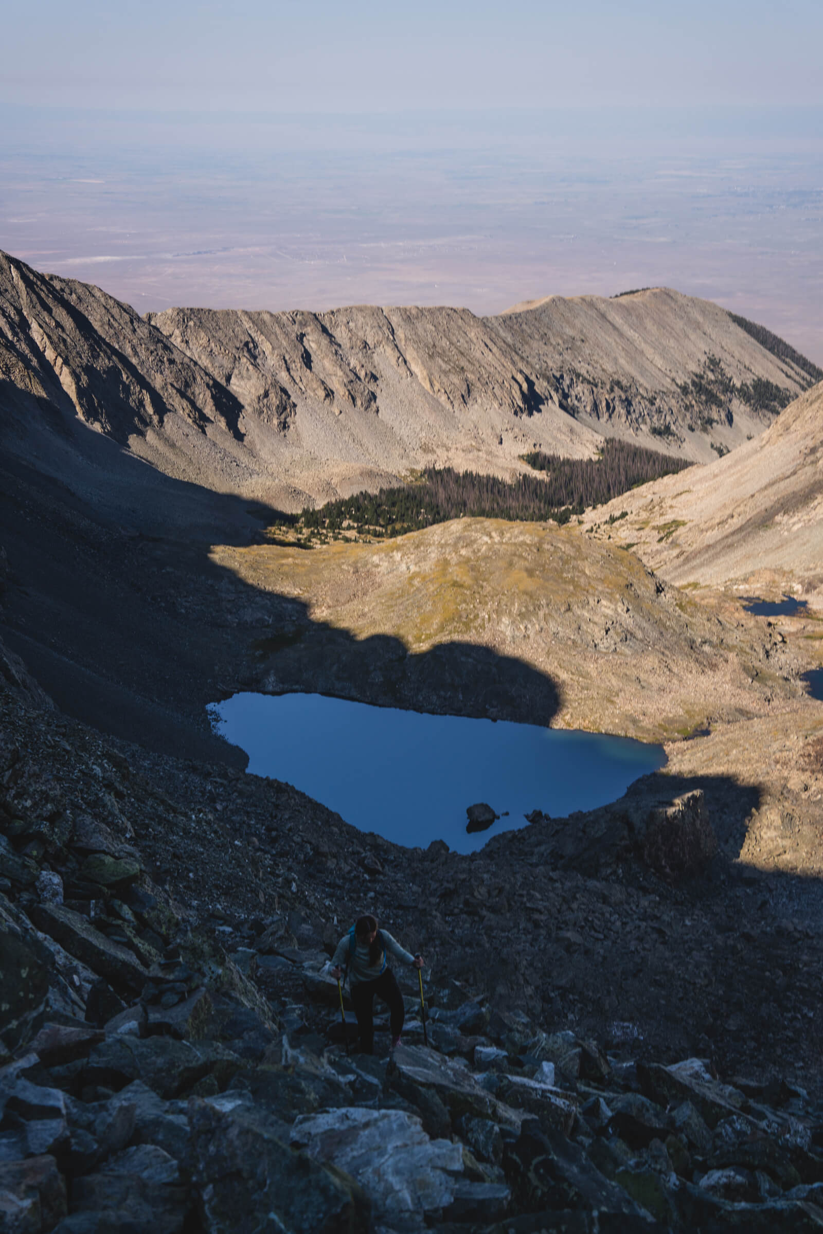
Parking spot on Lake Como Road (image 1) and Heather hiking up from Crater Lake (image 2)
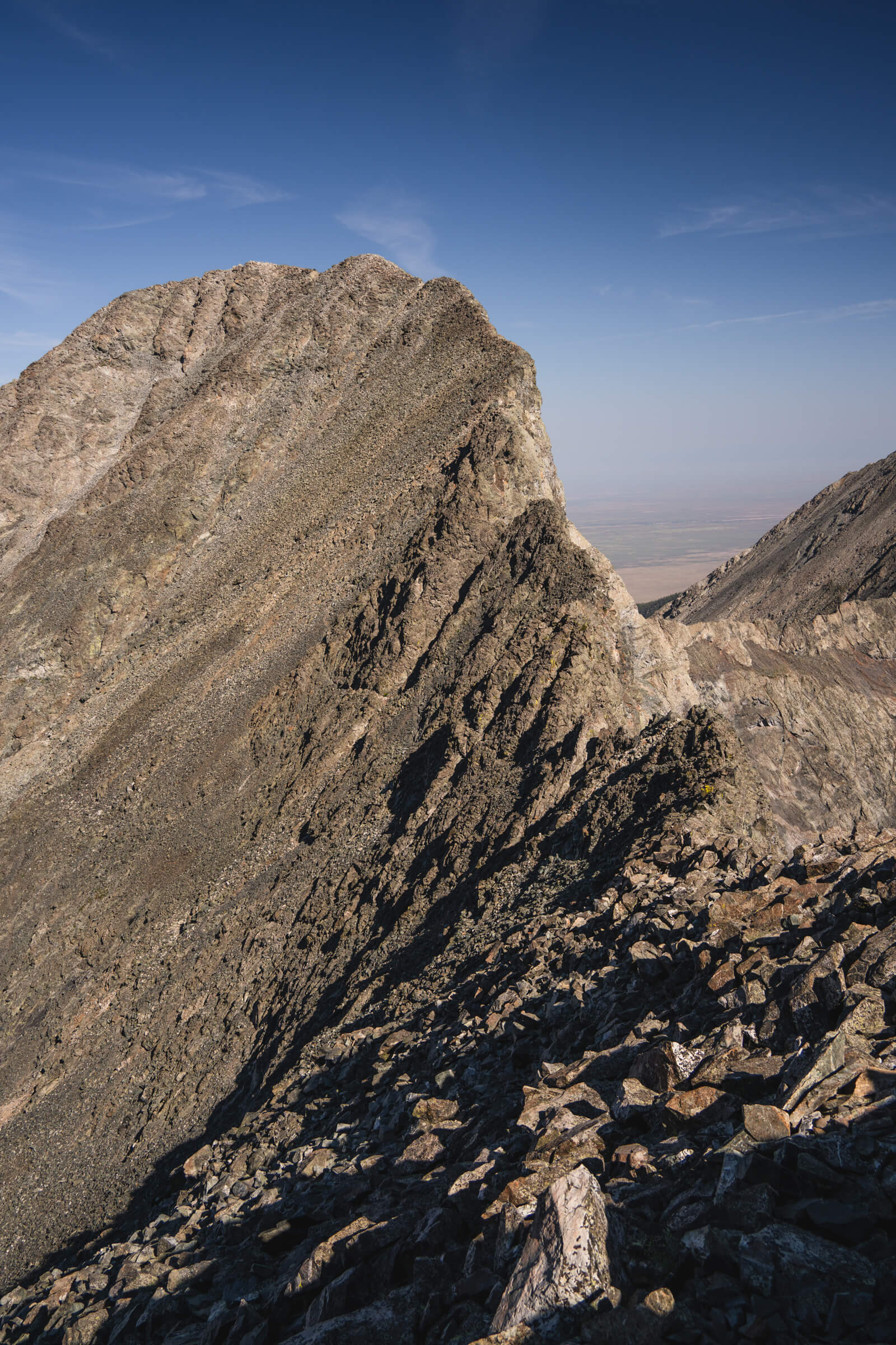
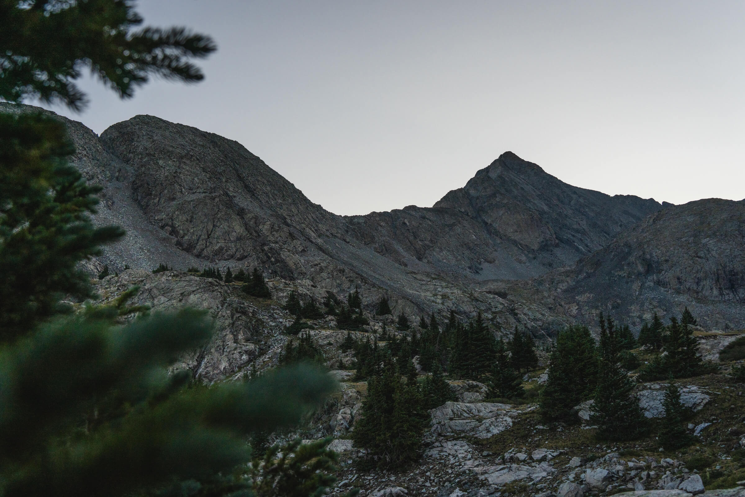
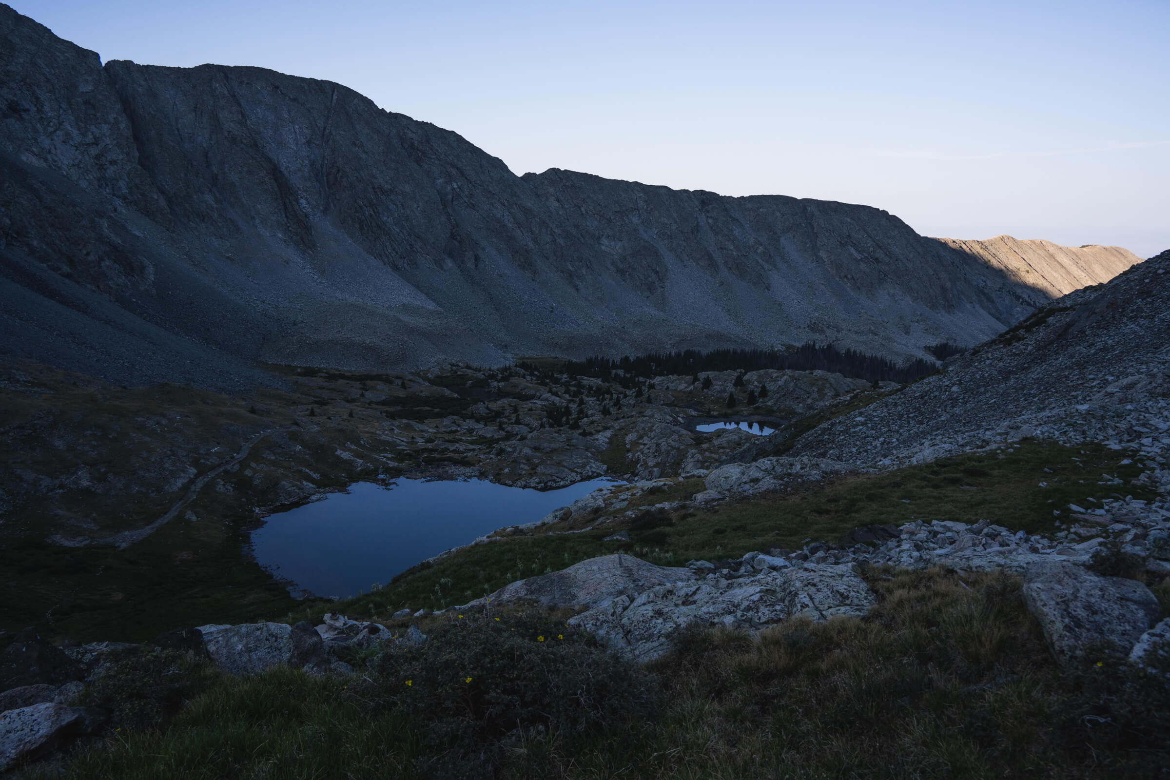
Blanca Peak (right) and Ellingwood Point (left) in the early morning (image 1), a look down at Crater Lake as we hiked up to Blanca Peak (image 2 & 3)
You ascend some moderate terrain to a fork in the trail (not very well marked) where you hang a right for Blanca or a left for Ellingwood.
We opted to do Blanca first. The route up to Blanca wasn’t too bad, but the very top was fairly steep and I would call it a class 2+. From the summit you have a really cool view of the entire Little Bear to Blanca Traverse, collectively agreed upon as the hardest of the four famous CO traverses.

We saw some climbers on the travers and later found out after seeing all the helicopters in and out that search and rescue was up there evacuating  someone with a broken leg. Total bummer. Just a week prior we heard someone rolled their jeep off Lake Como Road. A very unforgiving corner of Colorado.
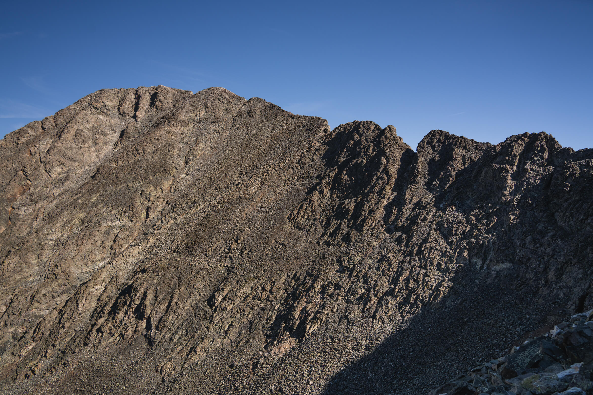
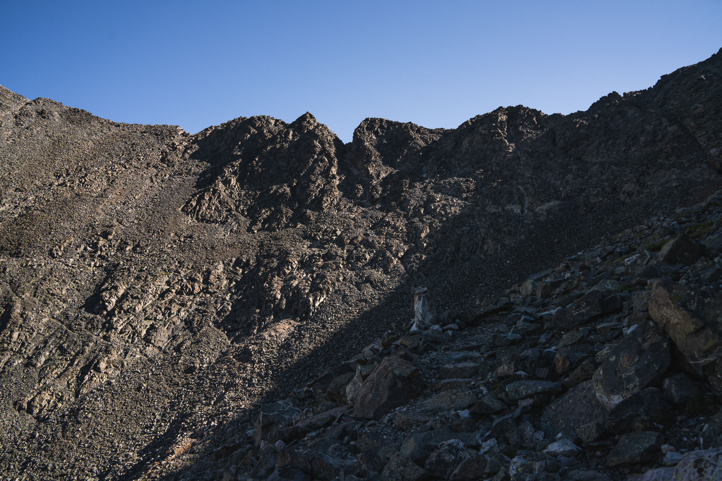
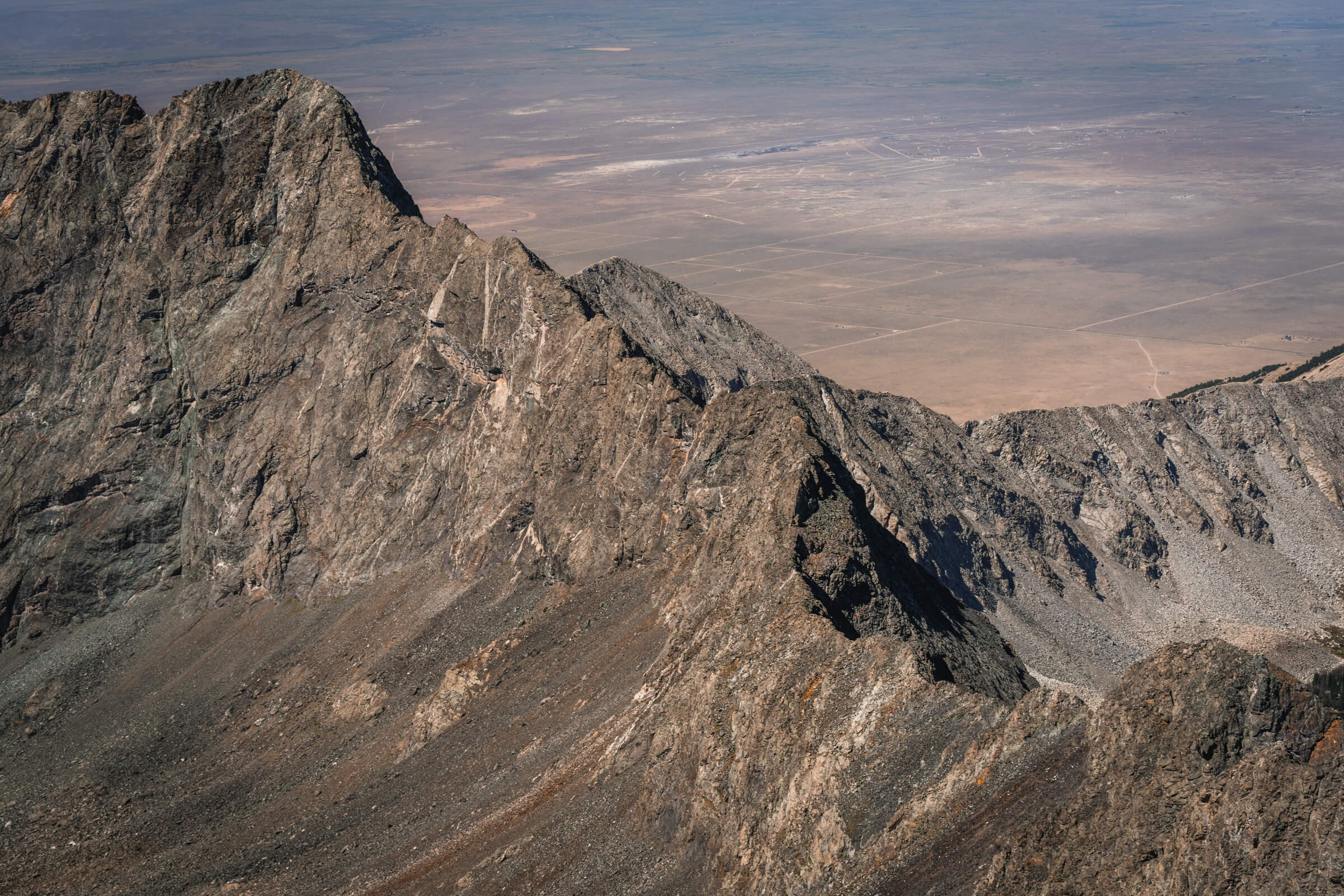
The summit of Ellingwood Point on the left end of the ridgeline (image 1), a look at the traverse from Blanca Peak to Ellingwood Point and the white rock in the center of the image marks the fork in the trail (image 2)
There is a class 3 traverse over to Ellingwood. The start is pretty hard to spot coming down from Blanca and I ended up going pretty low and climbing back up.
Once you’re on it it’s pretty obvious so I was kicking myself for not staying higher up on the ridge. If you take the standard trail up to Ellingwood from the fork this is rated a class 2. The traverse looks so much worse from on top of Blanca than it actually is. I lost the traverse coming back down as well and ended up hopping over a short talus field back onto the main trail. 

It was a total slog all the way back out to where we were parked and the heat was pretty brutal. From where we parked it was about 15 miles and 6,000 feet over a 12 hour day. We made a nice pitstop at High Side Bar in Salida on the way back to Denver.
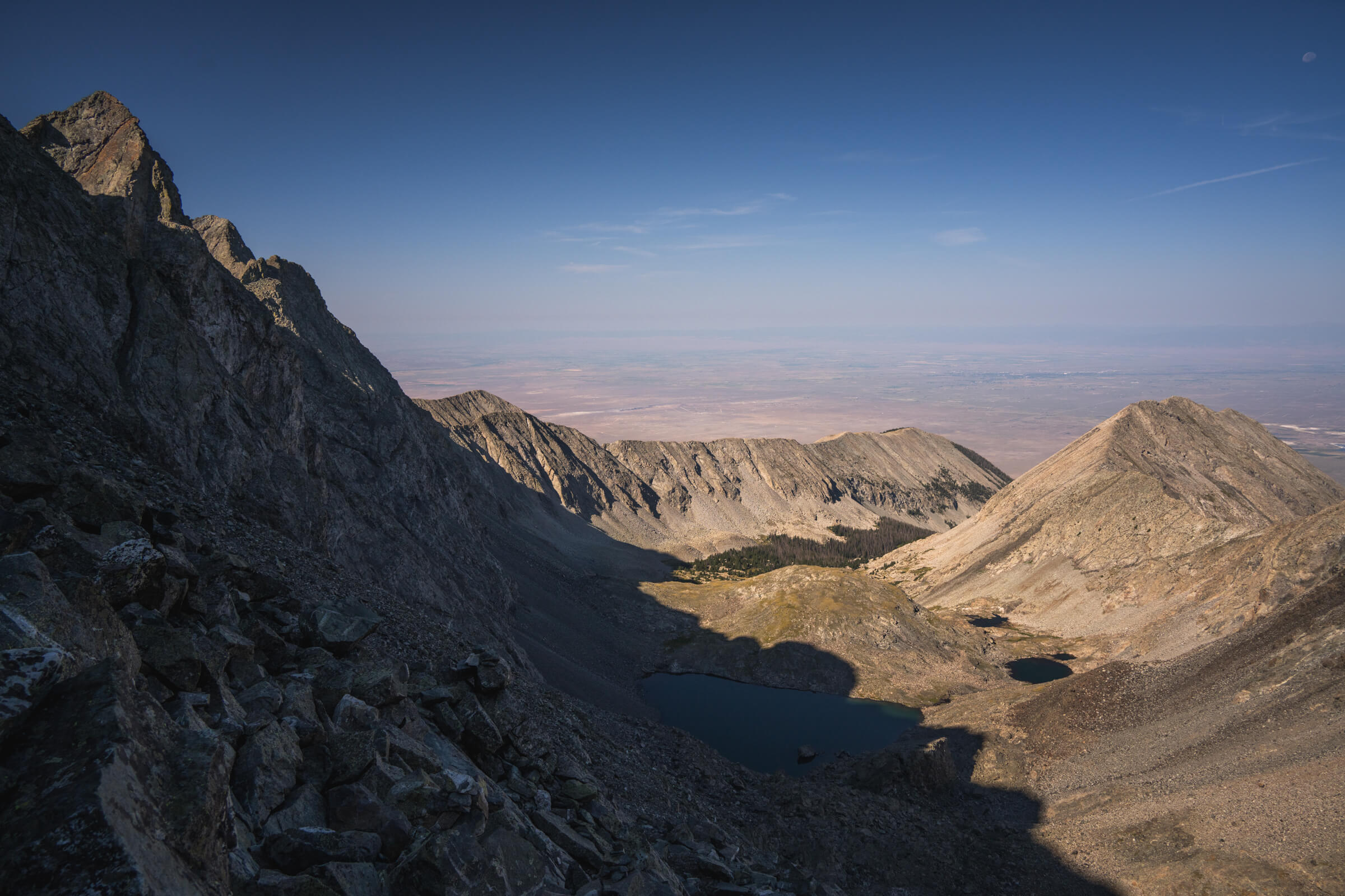
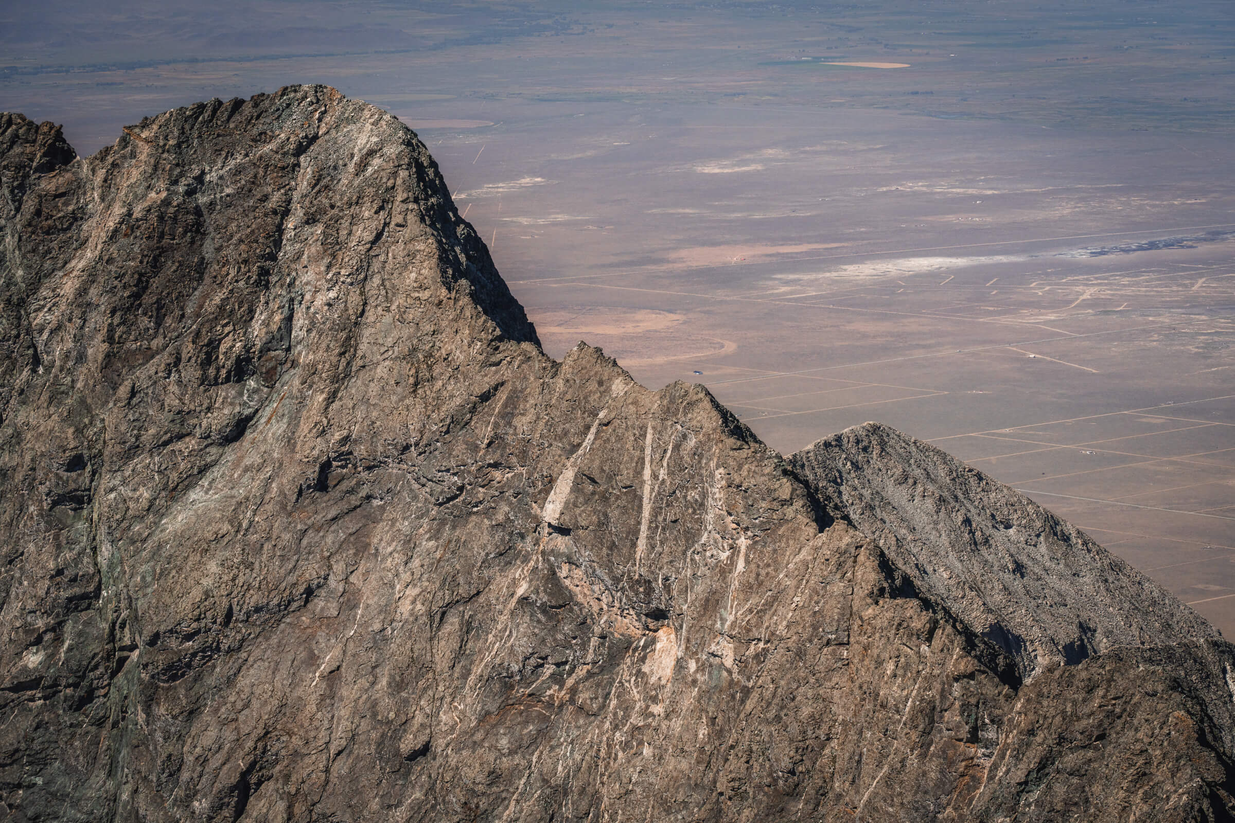
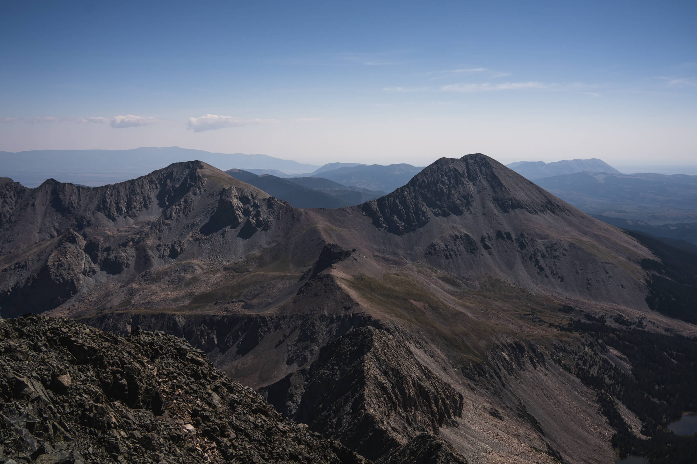
A look at the Little Bear to Blanca traverse from the summit of Blanca Peak (Image 1, 2, & 3), Mount Lindsay from the summit of Blanca Peak (image 4)